Topics > Civil Parishes in Cumbria > Arthuret Civil Parish > Arthuret Parish, 1848
Arthuret Parish, 1848
ARTHURET (St. Michael), a parish, in the union of Longtown, Eskdale ward, E. division of Cumberland, ¾ of a mile (S.) from Longtown; comprising the townships of Breconhill, Lyneside, Longtown, and Netherby, and containing 2,859 inhabitants. This parish is situated on the border of Scotland, where in 1337 a Scottish army crossed, which, marching eastward, destroyed about twenty villages; and at the chapel of Solom, a small oratory which anciently stood near the spot called the Chapel Flosh, commissioners from England and Scotland met in 1343, to settle the boundaries of the respective countries. On Solom Moss, in 1542, the Scots, 10,000 in number, but discontented with their commander, Oliver Sinclair, a favourite of the Scottish monarch, allowed themselves to be defeated by a small body of about 500 English troops, under the command of Dacres and Musgrave, and it is said that 1000 of them were made prisoners, amongst whom were 200 noblemen, esquires, and gentlemen. The parish comprises about 11,000 acres, and there are quarries of white and red freestone within its limits. The living is a rectory, valued in the king's books at £3. 2. 1.; net income, £687; patron, Sir J. R. G. Graham, Bart. The church was rebuilt in 1609, with the exception of the tower, which was not erected till 1690: in the churchyard is a rude cross with a pierced capital, near which were interred the remains of Archibald Armstrong, court jester to James I. and Charles I., and a native of the parish. An artificial tumulus, in the form of a prostrate human figure, near the church, is said to have been raised over the body of a chieftain slain in the above-mentioned battle.
Extract from: A Topographical Dictionary of England comprising the several counties, cities, boroughs, corporate and market towns, parishes, and townships..... 7th Edition, by Samuel Lewis, London, 1848.

from https://openlibrary.org/books…
A topographical dictionary of England, Samuel Lewis, 7th Ed., 1848
- A topographical dictionary of England
comprising the several counties, cities, boroughs, corporate and market towns, parishes, and townships, and the islands of Guernsey, Jersey, and Man, with historical and statistical …
Added by
Simon Cotterill
Co-Curate Page
Brackenhill
- Overview Map Street View Brackenhill is a hamlet in the City of Carlisle district of Cumbria, situated by the River Lyne and located about 4 miles east of Longtown and …
Co-Curate Page
Longtown, 1848
- LONGTOWN, a market-town, and the head of a union, in the parish of Arthuret, Eskdale ward, E. division of Cumberland, 8½ miles (N. by W.) from Carlisle, and 309 (N.N.W.) …
Co-Curate Page
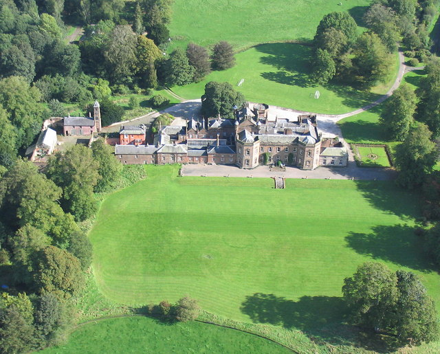
Netherby, Cumbria
- Overview Map Street View NETHERBY, a township, in the parish of Arthuret, union of Longtown, Eskdale ward, E. division of Cumberland, 2½ miles (N. N. E.) from Longtown; containing 368 …

from https://openlibrary.org/books…
A topographical dictionary of England, Samuel Lewis, 7th Ed., 1848
- A topographical dictionary of England
comprising the several counties, cities, boroughs, corporate and market towns, parishes, and townships, and the islands of Guernsey, Jersey, and Man, with historical and statistical …
Added by
Simon Cotterill
Co-Curate Page
Brackenhill
- Overview Map Street View Brackenhill is a hamlet in the City of Carlisle district of Cumbria, situated by the River Lyne and located about 4 miles east of Longtown and …
Co-Curate Page
Longtown, 1848
- LONGTOWN, a market-town, and the head of a union, in the parish of Arthuret, Eskdale ward, E. division of Cumberland, 8½ miles (N. by W.) from Carlisle, and 309 (N.N.W.) …