Topics > Northumberland > Civil Parishes in Northumberland > Newbrough Civil Parish > Historic Buildings and Monuments in Newbrough Civil Parish
Historic Buildings and Monuments in Newbrough Civil Parish
Listed buildings and scheduled monuments in Newbrough Civil Parish, Northumberland, from the National Heritage List for England[1]. Use the Search (below) if looking for a specific building / monument.
| Structure | List No. | Grade | Built~ | Notes |
|---|---|---|---|---|
| Block of Farm Buildings 30 Metres North East of Home Farmhouse | 1155130 | II | C19th | Newbrough |
| Bridge House | 1045017 | II | C19th | Stengate, Newbrough |
| Carrawburgh Farmhouse with Adjacent Outbuildings | 1045013 | II | C17th | Carrawburgh |
| Dovecote 30 Metres North of Newbrough Hall | 1370432 | II | C19th | |
| Dovecote and Adjacent Pigsty 20 Metres North of Farmhouse at Allerwash Buildings | 1370428 | II | C18th | |
| East Lodge to Newbrough Hall | 1155086 | II | C20th | |
| Forecourt Walls and Piers to North of Newbrough Park and Bridge House | 1155148 | II | C19th | |
| Former Kennels 60 Metres North of Newbrough Lodge | 1370433 | II | C18th | |
| Garden Walls Outbuilding and Gateway 20 Metres West of Newbrough Hall | 1155205 | II | C19th | |
| Garden Walls to West and South East of Newbrough Park | 1370431 | II | C18th | |
| Gate Piers Gates and Garden Wall Adjoining North West Corner to Stonecroft House | 1155232 | II | C19th | |
| Ha Ha Wall on South Side of Garden at Newbrough Park | 1155156 | II | C18th | |
| Ha Ha Wall to South of Newbrough Hall | 1155222 | II | C18th | |
| High Stonecroft House | 1303453 | II | C19th | |
| Home Farmhouse and Ashley House | 1370430 | II | C17th | |
| Newbrough Bridge over Newbrough Burn at West End of Village | 1045015 | II | 1839 | |
| Newbrough Hall | 1303465 | II* | 1812 | By John Dobson |
| Newbrough Lodge | 1045019 | II | 1796 | |
| Newbrough Park and Attached Cottage | 1045016 | II | c.1790 | |
| Newbrough War Memorial | 1431164 | II | 1920 | Stengate, Newbrough |
| Power House to North East of Newbrough Hall | 1045018 | II | 1902 | |
| Red Lion Inn | 1303511 | II | C18th | Stengate, Newbrough |
| Shelter Shed and Adjacent Farm Building on South Side of Road Opposite Allerwash Farm | 1155061 | II | C19th | |
| Stonecroft House | 1370434 | II | C19th | |
| Sundial on Lawn 30 Metres South of Newbrough Lodge | 1155227 | II | C18th | |
| Thornton Tower | 1045021 | II | Medieval | |
| Town Hall | 1303483 | II | 1876 | Stengate, Newbrough |
| Wall and Piers South East of East Lodge | 1370429 | II | C19th | |
| Walls on North and East of Garden to East of Newbrough Lodge | 1045020 | II | C18th | |
| Womens Institute | 1045014 | II | 1854 | Newbrough. Former Mechanic’s Institute |
| Prehistoric rock art west of Middle House | 1418656 | n/a | Prehistoric | Scheduled Monument |
| Red House Roman camp | 1006492 | n/a | Roman | Scheduled Monument |
| Round cairn, 1.1km west of Middle House | 1008420 | n/a | Bronze Age | Scheduled Monument |
| Round cairn, 1.36km west of Middle House | 1008421 | n/a | Bronze Age | Scheduled Monument |
| Round cairn, 1.34km west of Middle House | 1008422 | n/a | Bronze Age | Scheduled Monument |
| Round cairn, 670m NNE of Middle House | 1008432 | n/a | Prehistoric | Scheduled Monument |
| Brown Dikes Roman temporary camp | 1010936 | n/a | Roman | Scheduled Monument |
| Hadrian's Wall and vallum between the field boundary west of Coventina's Well and the field boundary at Brown Dikes in wall miles 31 and 32 | 1010962 | n/a | Roman | Scheduled Monument |
| Brown Moor Roman temporary camp | 1010981 | n/a | Roman | Scheduled Monument |
| Carrawburgh Roman fort and Hadrian's Wall and vallum between the field boundary east of the fort and the field boundary west of Coventina's Well in wall mile 31 | 1015914 | n/a | Roman | Scheduled Monument |
| Hadrian's Wall and vallum between the field boundary at Brown Dikes and the field boundary east of turret 34a in wall miles 32, 33 and 34 | 1010963 | n/a | Roman | Scheduled Monument |
| Hadrian's Wall and vallum between the road to Simonburn and the field boundary east of Carrawburgh car park in wall miles 29, 30 and 31 | 1010961 | n/a | Roman | Scheduled Monument |
| Newbrough Conservation Area | - | n/a | Conservation Area |
Primary source: the National Heritage List for England - NHLE is the register of nationally protected historic buildings and sites in England, including listed buildings, scheduled monuments, protected wrecks, registered parks and gardens, and battlefields. The list is maintained by Historic England. Check NHLE for updates and new entries. Secondary sources: British Listed Buildings and Keys to the Past.

Co-Curate Page
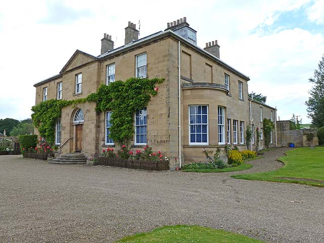
Newbrough Hall
- Overview Map Street View Newbrough Hall is a large country house located to the north of the village of Newbrough in Northumberland. It was built in 1812, by John Dobson. …

Co-Curate Page
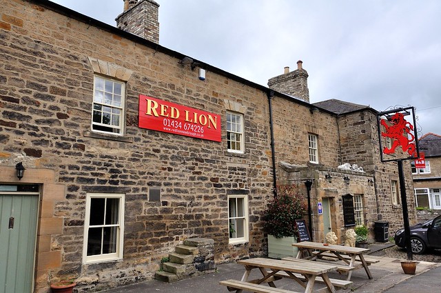
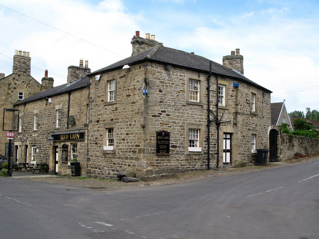
The Red Lion, Newbrough
- Overview Map Street View The Red Lion is an inn on Stanegate in Newbrough, with bar, restaurant, and B&B accommodation. The inn dates from the 18th century, incorporating the fabric …

Co-Curate Page
Newbrough Town Hall
- Overview Map Street View Newbrough Town Hall is a civic hall, located on Stanegate in Newbrough. The building dates from 1876 and was presented to the people of Newbrough by …

Co-Curate Page
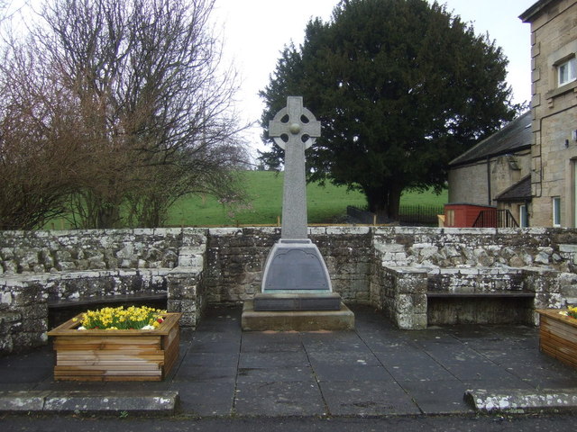
Newbrough War Memorial
- Overview Map Street View Newbrough War Memorial is located immediately east of the Town Hall on Stanergate, in Newbrough. The memorial, paid for by public subscription, was designed by Messrs …

Co-Curate Page
Carrawbrough
- Overview Map Street View Carrawbrough is located off the B6318 (the 'Military Road' which runs parralal to Hadrian's Wall) about 3 miles west of Chollerford, and is about 6 miles …

Co-Curate Page
Wall Mile 32
- <Mile 31 | Mile 32 | Mile 33> Hadrian's Wall - Wall Mile 32 Hadrian's Wall stretches from the east to west coast of England and was an important frontier …

Co-Curate Page
Wall Mile 31
- <Mile 30 | Mile 31 | Mile 32> Hadrian's Wall - Wall Mile 31 Hadrian's Wall stretches from the east to west coast of England and was an important frontier …


Co-Curate Page
Newbrough Hall
- Overview Map Street View Newbrough Hall is a large country house located to the north of the village of Newbrough in Northumberland. It was built in 1812, by John Dobson. …

Co-Curate Page
The Red Lion, Newbrough
- Overview Map Street View The Red Lion is an inn on Stanegate in Newbrough, with bar, restaurant, and B&B accommodation. The inn dates from the 18th century, incorporating the fabric …

Co-Curate Page
Newbrough Town Hall
- Overview Map Street View Newbrough Town Hall is a civic hall, located on Stanegate in Newbrough. The building dates from 1876 and was presented to the people of Newbrough by …

Co-Curate Page
Newbrough War Memorial
- Overview Map Street View Newbrough War Memorial is located immediately east of the Town Hall on Stanergate, in Newbrough. The memorial, paid for by public subscription, was designed by Messrs …

Co-Curate Page
Carrawbrough
- Overview Map Street View Carrawbrough is located off the B6318 (the 'Military Road' which runs parralal to Hadrian's Wall) about 3 miles west of Chollerford, and is about 6 miles …

Co-Curate Page
Wall Mile 32
- <Mile 31 | Mile 32 | Mile 33> Hadrian's Wall - Wall Mile 32 Hadrian's Wall stretches from the east to west coast of England and was an important frontier …


