Topics > Civil Parishes in Cumbria > Dacre Civil Parish > Historic Buildings and Monuments in Dacre Civil Parish
Historic Buildings and Monuments in Dacre Civil Parish
Listed buildings and scheduled monuments in Dacre Civil Parish, Cumbria, from the National Heritage List for England[1]. Use the Search (below) if looking for a specific building / monument.
| Structure | List No. | Grade | Built~ | Notes |
|---|---|---|---|---|
| Aldby | 1221050 | II | ||
| Alms Table West of Church of St Andrew | 1220946 | II | ||
| Andrew House | 1210176 | II | ||
| Ash Cottage | 1290621 | II | ||
| Ash View | 1145511 | II | ||
| Barn Adjoining Rear of Walnut House | 1145513 | II | ||
| Barn and Domestic Range Adjoining Right of Stainton Hill | 1221214 | II | ||
| Barn North of Mount Pleasant Farmhouse | 1319058 | II | ||
| Barn/Stables Adjoining Left of Stainton Hill | 1145512 | II | ||
| Blencow Bridge | 1221119 | II | C19th | Road bridge over the River Petteril |
| Boundary Stone South East of Junction of A66 and Dacre Road | 1145537 | II | ||
| Brooklyn | 1252578 | II | ||
| Bunkers Hill and Barns/Byres Adjoining | 1290653 | II | 1775 | Near Greystoke |
| Burbank House | 1145541 | II | ||
| Carthanet and Barn Adjoining | 1326699 | II | ||
| Carved Bear North East of Church of St Andrew | 1252583 | II* | ||
| Carved Bear North West of Church of St Andrew | 1145532 | II* | ||
| Carved Bear South East of Church of St Andrew | 1252582 | II* | ||
| Carved Bear South West of Church of St Andrew | 1262197 | II* | ||
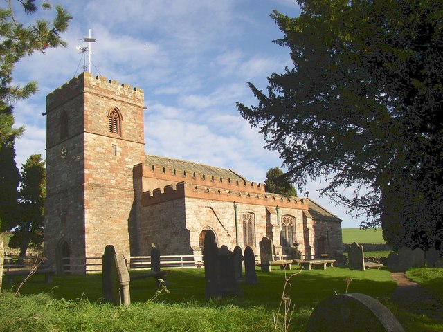
| Church of St Andrew | 1145531 | I | C12th | Dacre |
| Church View | 1145533 | II | ||
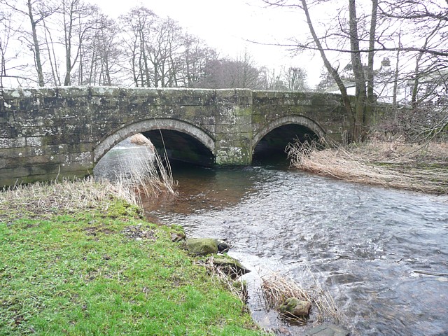
| Dacre Bridge | 1145540 | II | ||
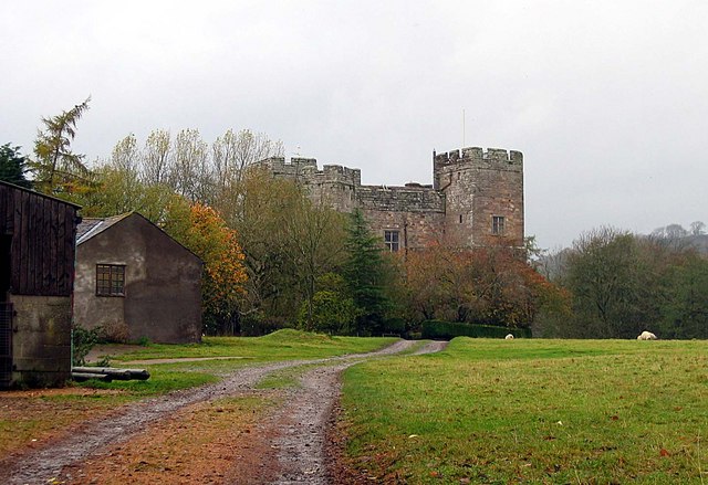
| Dacre Castle | 1221000 | I | C14th | Fortified tower house |
| Dalemain | 1221057 | I | C15th | Country House, near Stainton |
| Former Brewhouse Adjoining to Rear of Dalemain | 1145539 | II | ||
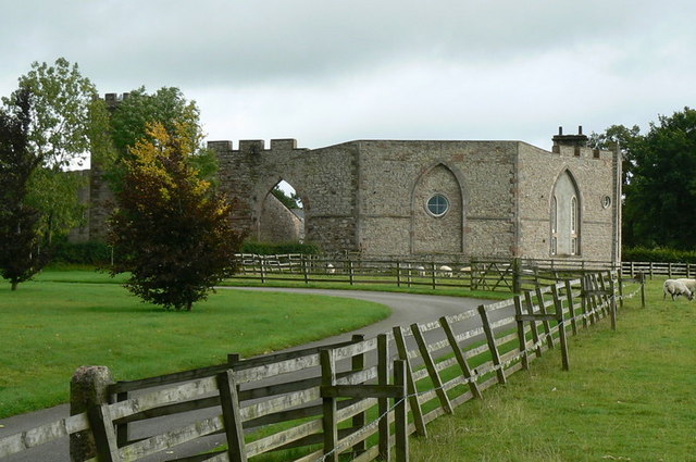
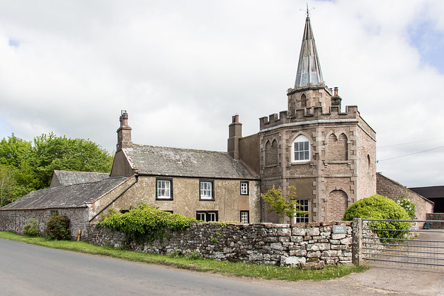
| Fort Putnam Farmhouse, Barns, Byres, Cow House, Wall and Gateway | 1145543 | II* | C18th | Folly, built to resemble a fort |
| Garden Wall Adjoining to Rear of Dalemain | 1290668 | II | ||
| Green Flat and Barn Adjoining | 1145510 | II | ||
| Greystoke Pillar | 1326697 | II | C18th | Obelisk, west of Penrith. |
| Greystone House and Barn Adjoining | 1319060 | II | ||
| Hall Bank and Barn Adjoining | 1221221 | II | ||
| Harness Room East of High Farmhouse | 1319057 | II | ||
| High Bridge | 1290694 | II | ||
| High Farmhouse | 1290672 | II | ||
| Hopland House | 1326703 | II | ||
| Horse and Farrier Inn and Stables | 1221010 | II | ||
| K6 Telephone Kiosk | 1145435 | II | ||
| Lodge Farmhouse and Former Barn Adjoining | 1145536 | II | ||
| Midtown | 1290589 | II | ||
| Mount Pleasant Farmhouse and Barn Adjoining | 1290679 | II | ||
| Pigeon/Poultry House West of High Farmhouse | 1221078 | II | ||
| Pooley Bridge (destroyed by floods 2015) | 1326698 | II | 1764 | Pooley Bridge (village). |
| Redhill Limekilns, 120 Metres South East of Slapestones Roundabout | 1326738 | II | ||
| Rose Bank | 1145535 | II | ||
| Rose Farmhouse | 1290724 | II | ||
| Rose Hill and Former Barn | 1145509 | II | ||
| School House | 1145534 | II | ||
| Skirsgill | 1145505 | II | ||
| Sourlands Gate | 1145507 | II | ||
| Spire House | 1290677 | II | C18th | |
| Stables and Barn North East of Dalemain | 1319056 | II | ||
| Stables North West of Aldby Farmhouse | 1145538 | II | ||
| Storch Bridge | 1145544 | II | C18th | Former road bridge over the River Petteril |
| Summer House on Top of Flusco Pike | 1221065 | II | ||
| Sunbeam House | 1221132 | II | ||
| Sycamore House and Barn/Stables Adjoining | 1326702 | II | ||
| Terrace Wall, Gate Posts and Steps in Front of Skirsgill | 1145506 | II | ||
| The Hill | 1319059 | II | ||
| Todd Farmhouse | 1326700 | II | ||
| Town Head Farmhouse and Barn Adjoining | 1145545 | II | ||
| Townhead | 1145542 | II | ||
| Walnut House | 1290591 | II | ||
| Waltons Place and Barns Adjoining | 1221191 | II | ||
| Waterfoot Farmhouse and Barn Adjoining | 1145508 | II | ||
| Waterfoot Hotel | 1290615 | II | ||
| Waterfoot Lodge | 1326701 | II | ||
| Wood View | 1221021 | II | ||
| Woodlands | 1145514 | II | ||
| Moated site of Dacre Castle | 1011680 | n/a | Scheduled Monument | |
| Dalemain - grounds | 1000663 | II* | Listed Park and Garden | |
| Sewborrans standing stone 400m south west of Sewborwens | 1018364 | n/a | Scheduled Monument | |
| Dunmallard small multivallate hillfort | 1008264 | n/a | Scheduled Monument | |
| Blencow Old Hall moated tower house | 1012827 | n/a | Scheduled Monument |
Primary source: the National Heritage List for England - NHLE is the register of nationally protected historic buildings and sites in England, including listed buildings, scheduled monuments, protected wrecks, registered parks and gardens, and battlefields. The list is maintained by Historic England. Check NHLE for updates and new entries.
Secondary sources: British Listed Buildings.
Co-Curate Page
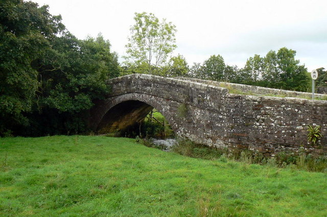
Storch Bridge, Greystoke
- Overview Map Street View Storch Bridge over the River Petteril is located just to the east of Greystoke in Cumbria, near Woodside Caravan Park. The segmental-arched hump-back bridge was built in …
Co-Curate Page
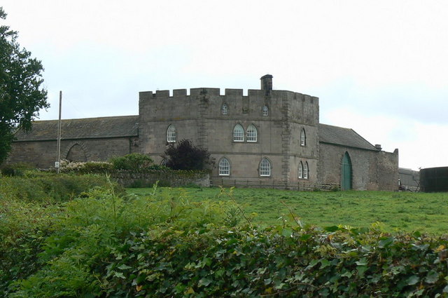
Bunkers Hill (farmhouse), Greystoke
- Overview Map Street View Bunkers Hill Dairy is located off the B5288 road, about 1 mile south-east of Greystoke and 3 miles north-west of Penrith. The farmhouse here dates from …
Co-Curate Page
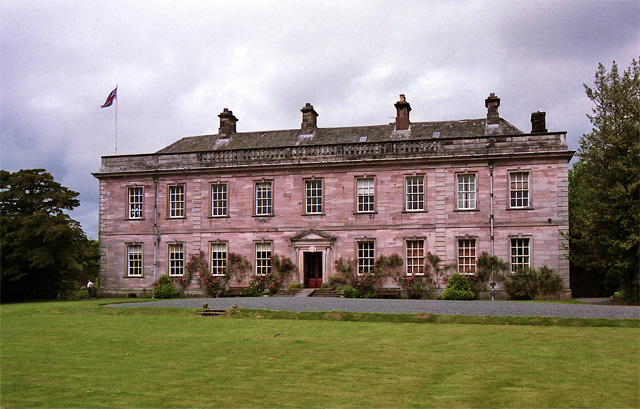
Dalemain
- Dalemain is a large country house, located about ½ mile south of the village of Stainton, Dacre, and about 2½ miles south-west of Penrith, in Cumbria. This is an ancient …
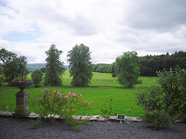
Co-Curate Page
The Grounds of Dalemain
- Overview Map Street View The grounds of Dalemain are a Grade II* listed Park and Garden on the National Heritage List for England.


Co-Curate Page
Storch Bridge, Greystoke
- Overview Map Street View Storch Bridge over the River Petteril is located just to the east of Greystoke in Cumbria, near Woodside Caravan Park. The segmental-arched hump-back bridge was built in …

Co-Curate Page
Bunkers Hill (farmhouse), Greystoke
- Overview Map Street View Bunkers Hill Dairy is located off the B5288 road, about 1 mile south-east of Greystoke and 3 miles north-west of Penrith. The farmhouse here dates from …

Co-Curate Page
Dalemain
- Dalemain is a large country house, located about ½ mile south of the village of Stainton, Dacre, and about 2½ miles south-west of Penrith, in Cumbria. This is an ancient …

