Topics > Northumberland > High Angerton > High Angerton Township
High Angerton Township
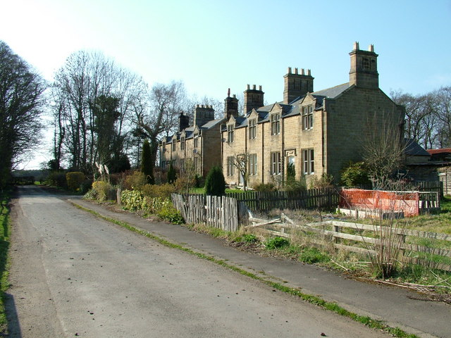
ANGERTON, HIGH, a township, in the parish of Hartburn, union of Morpeth, W. division of Morpeth ward, N. division of Northumberland, 7 miles (W.) from Morpeth; containing 75 inhabitants. This place is noticed in the year 1262 as the residence of the Baroness Theophania, widow of Hugh de Bolbeck, who was sheriff of Northumberland, governor of several castles, and held other offices of importance: from the Bolbecks, both High and Low Angerton went in regular descent to the Howards, with whom they continued until within the last few years. The township extends to the village of Hartburn, and comprises 1,197 acres of rich loamy soil, whereof 550 are arable, 571 pasture, and the remainder woodland. The vicar receives £125. 9. for the tithes of this place.
Extract from: A Topographical Dictionary of England comprising the several counties, cities, boroughs, corporate and market towns, parishes, and townships..... 7th Edition, by Samuel Lewis, London, 1848.
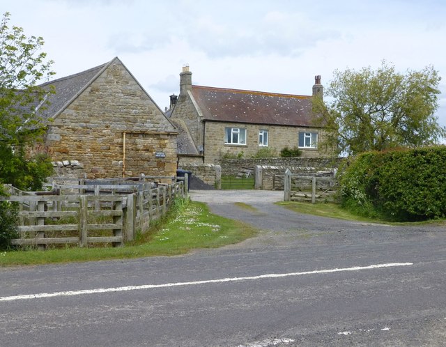
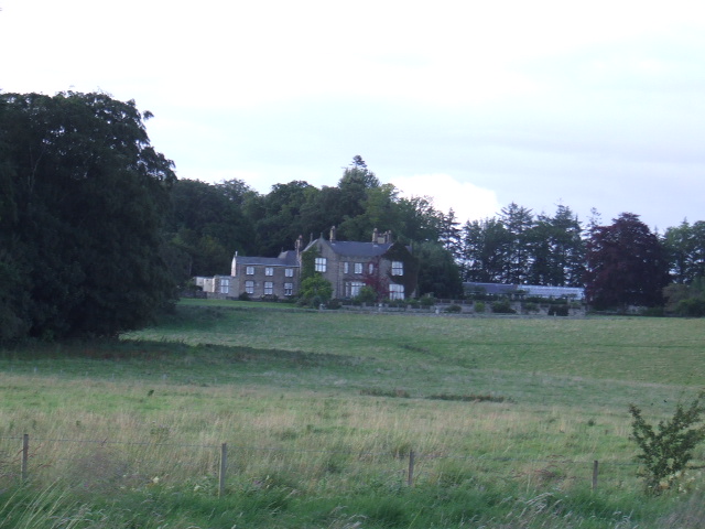
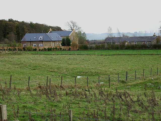
High Angerton was a township in the ancient parish of Hartburn. The 1860 Northumberland Farms Index (Northumberland Archives) lists the following under the township of High Angerton: Angerton Hall, Angerton Moor, Broomhouse, East Marlish, High Angerton (hamlet), and West Marlish. Whellan's 1855 directory of Northumbeland also lists Glebe Farm under High Angerton.
See the entry for High Angerton in Whellan's 1855 directory of Northumberland.
High Angerton became a civil parish (CP) in 1866, following the Poor Law Amendment Act. The population of High Angerton Civil Parish was 79 in 1881, rising to 121 in 1921, but dropping to 65, by the time of the 1951 Census.[1] High Angerton CP was abolished in 1955 and absorbed into Hartburn Civil Parish.
Co-Curate Page
Angerton North Moor
- Overview Map Street View Angerton North Moor Farm is located about ¾ mile north-west of the village of Hartburn in Northumberland. It is situated to the south of Hart Burn …

from https://www.visionofbritain.o…
High Angerton CP/Tn
- GB Historical GIS / University of Portsmouth, High Angerton CP/Tn through time | Census tables with data for the Parish-level Unit, A Vision of Britain through Time.
URL: https://www.visionofbritain.org.uk/unit/10299690
Date …
Added by
Simon Cotterill

Co-Curate Page
Angerton North Moor
- Overview Map Street View Angerton North Moor Farm is located about ¾ mile north-west of the village of Hartburn in Northumberland. It is situated to the south of Hart Burn …
from https://www.visionofbritain.o…
High Angerton CP/Tn
- GB Historical GIS / University of Portsmouth, High Angerton CP/Tn through time | Census tables with data for the Parish-level Unit, A Vision of Britain through Time.
URL: https://www.visionofbritain.org.uk/unit/10299690
Date …
Added by
Simon Cotterill