Topics > County Durham > Helmington Row
Helmington Row
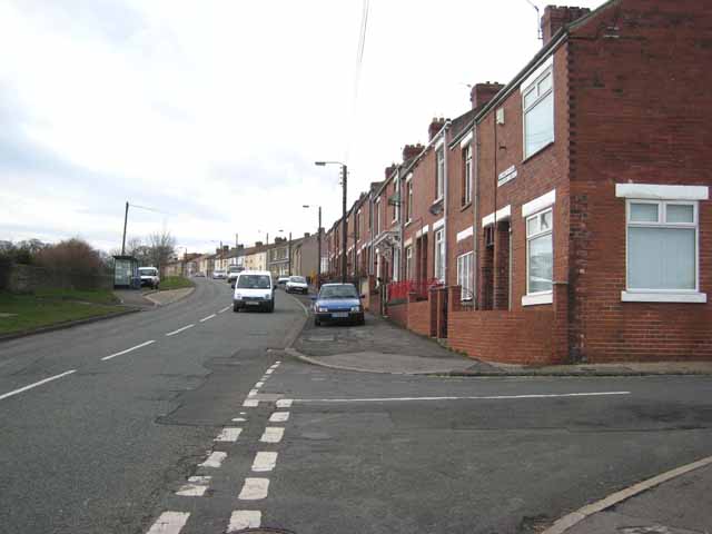
Helmington Row is a village in County Durham, situated between Crook and Willington, and located about 7 miles south-west of the city of Durham and 3 miles north-west of Bishop Auckland. A village of Helmington Row was recorded in Medieval times, but it's exact location is uncertain.[1] Historically, Helmington Row was a township in the ancient parish of Brancepeth. From 1866 to 1937, Helmington Row was a civil parish. Helmington House in the village is the former Board Schools, built in 1877. There are two former Primitive Methodist chapels on East View, a small stone chapel of 1855 and it's larger brick built replacement of 1913.[2] The war memorial for Helmington Row and Sunnybrow is located near the former school, by the junction of the A690 and Holy well Lane. Homelands Court, is a housing development on the former site of Homelands Hospital, which was built in 1903 as a fever hospital. The hospital closed in December 2004.
HEMLINGTON-ROW, a township, in the parish of Brancepeth, union of Auckland, N. W. division of Darlington ward, S. division of the county of Durham, 4¼ miles (N.W. by N.) from Bishop-Auckland; containing 435 inhabitants. It is situated on the road from Crook to Willington, a short distance north-west of the river Wear, and comprises about 1580 acres of land. The tithes have been commuted for £85. 5.
Extract from: A Topographical Dictionary of England comprising the several counties, cities, boroughs, corporate and market towns, parishes, and townships..... 7th Edition, by Samuel Lewis, London, 1848.
In the rebellion of 1569, which was an attempt to re-establish the Catholic religion, nine persons joined from Elmyden Rawe (Helmington Row), and two were executed.
Extract from: History of the Crook and Neighbourhood Co-operative Corn Mill, Flour & Provision Society Limited and a short history of the town and district of Crook, by Edward Lloyd, 1916


from https://keystothepast.info/se…
Helmington Row Deserted Medieval Village
- The medieval village of Helmington Row may have stood in this area, though its precise location is unknown.....
Added by
Simon Cotterill


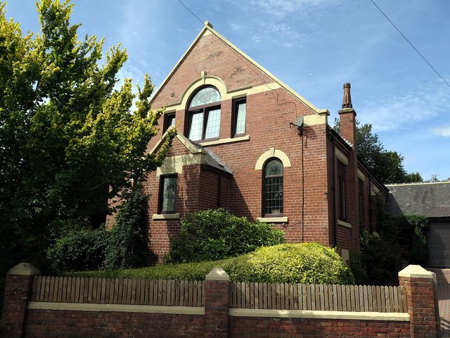
from Helmington Row Primitive Methodist chapel
Helmington Row Primitive Methodist chapel
- ....Thanks to Anne Leyburn for highlighting two former Primitive Methodist chapels, next to each other on East View, Helmington Row. Both chapels are in 2024 in residential use, and both …
Added by
Simon Cotterill

from Geograph (geograph)
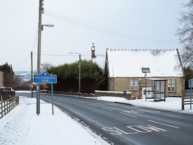
Direction Sign - Signpost by the A690, Helmington Row
Pinned by Simon Cotterill

from https://keystothepast.info/se…
Helmington Row Deserted Medieval Village
- The medieval village of Helmington Row may have stood in this area, though its precise location is unknown.....
Added by
Simon Cotterill
from Helmington Row Primitive Methodist chapel
Helmington Row Primitive Methodist chapel
- ....Thanks to Anne Leyburn for highlighting two former Primitive Methodist chapels, next to each other on East View, Helmington Row. Both chapels are in 2024 in residential use, and both …
Added by
Simon Cotterill
from Geograph (geograph)
Direction Sign - Signpost by the A690, Helmington Row
Pinned by Simon Cotterill


")

