Topics > Geography > Rivers > River South Tyne > Hartley Burn (trib. River South Tyne)
Hartley Burn (trib. River South Tyne)
Map showing Hartley Burn and major tributaries. Catchment Area data from the Environment Agency, but course of Hartley Burn based on OS & Google Maps (conflicts with name of water body GB103023075470).
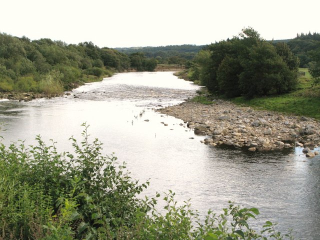
Hartley Burn is a tributary of the River South Tyne. It forms in Cumbria at the confluence of Black Burn and Thore Gill. Hartley Burn flows in a roughly north-easterly direction, passing through Midgeholme, to join the South Tyne near Featherstone in Northumberland.

from https://environment.data.gov.…
Hartley Burn from Source to Black Burn Water Body
Added by
Simon Cotterill
from https://environment.data.gov.…
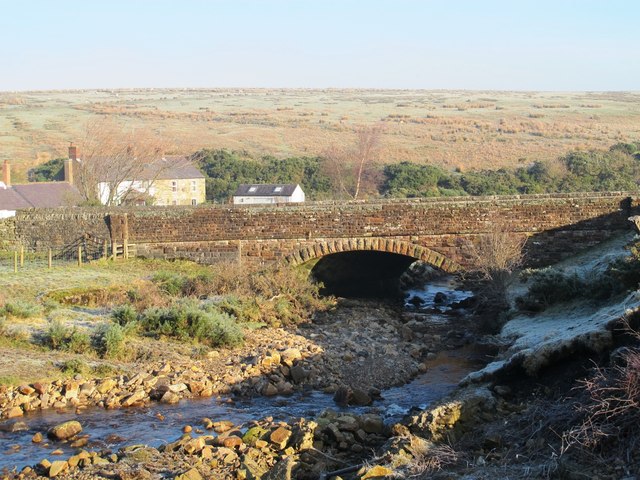
Hartley Burn from Black Burn to South Tyne Water Body
Added by
Simon Cotterill
Co-Curate Page
Midgeholme
- Overview About Midgeholme Map Street View Low Midgeholme and High Midgeholme are hamlets in the City of Carlisle district of Cumbria. They are located about 7 miles east of Brampton, …

from https://environment.data.gov.…
Hartley Burn from Source to Black Burn Water Body
Added by
Simon Cotterill
from https://environment.data.gov.…
Hartley Burn from Black Burn to South Tyne Water Body
Added by
Simon Cotterill