Topics > Geography > Rivers > River Allen > Harsondale Burn
Harsondale Burn
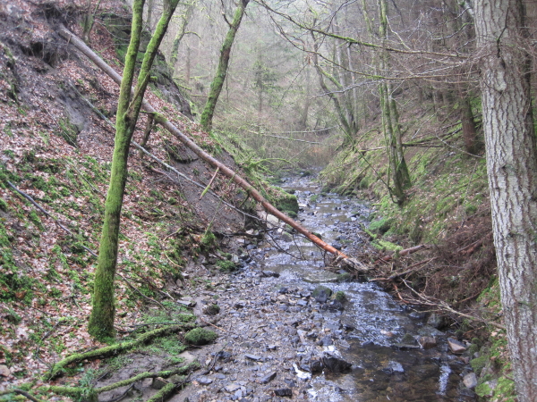
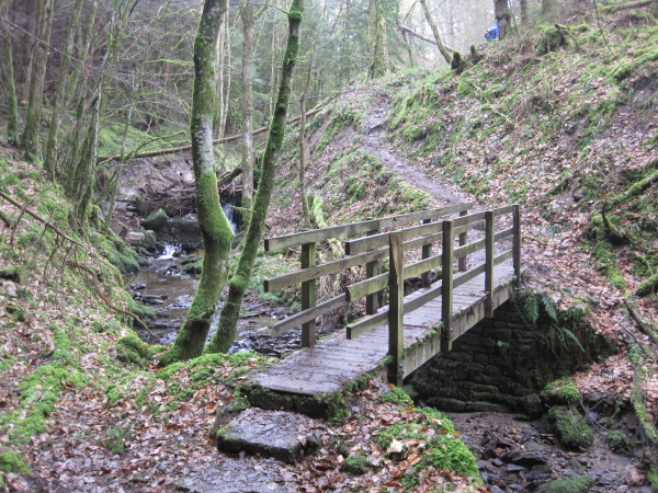
Harsondale Burn is a minor tributary of the River Allen in Northumberland. If forms a steep wooded valley, with the ruins of Staward Pele are located near the confluence of the burn with the River Allen. Harsondale Farm is located to the north of the burn.

Co-Curate Page
Harsondale
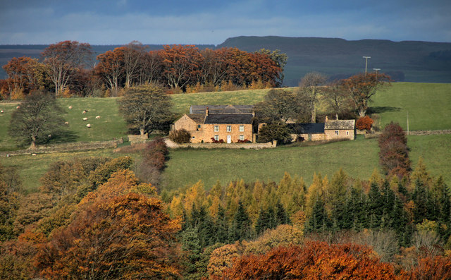
- Overview Map Harsondale is a farm in the Allendale area of Northumberland, situated to the north of Harsondale Burn, about 7½ miles west of Hexham. Harsdale farmouse dates from the …
Co-Curate Page
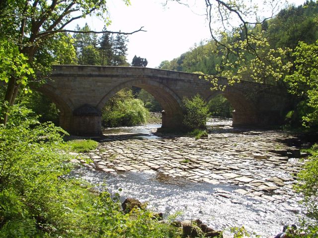
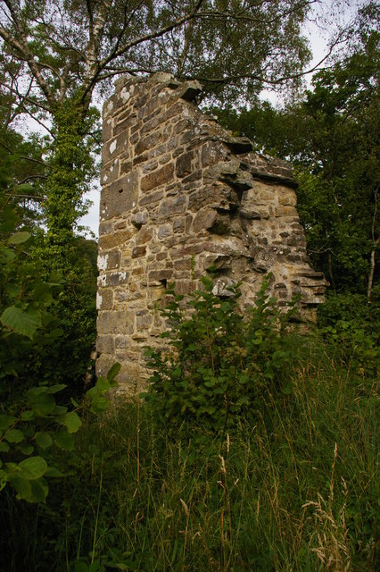
Staward Pele
- Overview Map Street View The ruins of Staward Pele (tower) are situated on a highly defensible promontory which over looks the River Allen as it flows through Steward Gorge. A timber …

Co-Curate Page
Harsondale
- Overview Map Harsondale is a farm in the Allendale area of Northumberland, situated to the north of Harsondale Burn, about 7½ miles west of Hexham. Harsdale farmouse dates from the …