Topics > Northumberland > Grasslees
Grasslees
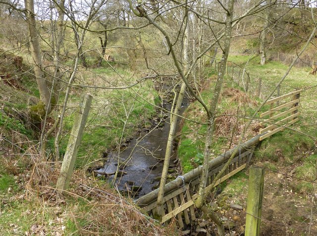
Grasslees is a farm in Northumberland, located on the B6341 Otterburn to Rothbury road, about 2½miles south-west of the village of Hepple and 3 miles north of Elsdon village. The farm is situated by Grasslees Burn. Whellan's 1855 directory of Northumberland lists Ephraim Hall as farmer at Grasslees at that time.[1] Historically, Grasslees was part of Woodside Ward (township) in the ancient parish of Elsdon. Since 1955, Grasslees has been part of Hepple Civil Parish.
Grasslees Mill, located about ¼mile north-east of Grasslees farm, is a ruined watermill, dating from the 18th century. Whellan's 1855 directory lists William, John, and Andrew Stevenson as millers at Grasslees Mill. The mill is a Scheduled Monument on the National Heritage List for England. It was added to the Heritage at Risk list in late 2023.


from https://historicengland.org.u…
18th century water mill at Grasslees - Hepple - List Entry
- No description or history (when accessed 01/07/25)
Added by
Simon Cotterill

from https://historicengland.org.u…
18th century water mill at Grasslees - Hepple - List Entry
- No description or history (when accessed 01/07/25)
Added by
Simon Cotterill