Topics > Northumberland > Northumberland Parishes and Townships - 1855 > Glendale Ward, 1855
Glendale Ward, 1855
Extract from: History, Topography, and Directory of Northumberland...Whellan, William, & Co, 1855.
GLENDALE WARD
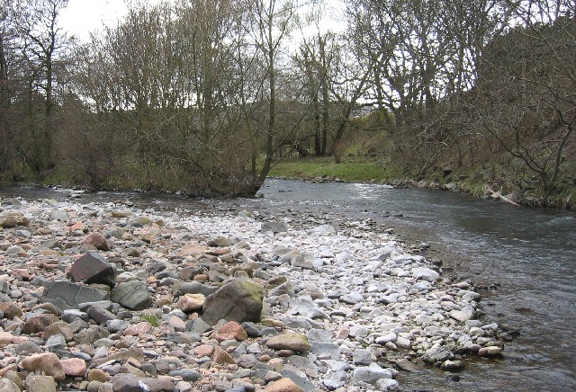
GLENDALE WARD, comprising one market town, Wooler, and nine parishes, is bounded on the north by Islandshire and Norhamshire, on the west by Scotland, on the south by Coquetdale Ward, and on the east by Bambrough Ward. It is divided into two divisions, East and West, whose united area is 109,816 statute acres, and its population in 1801, was 10,091; in 1841, 12,466; and in 1851, 12,522 souls. It is said to derive its name from the river Glen, which is formed by the junction of two small streams near Kirk Newton, whence it flows easterly and falls into the Till, which crosses the Ward from south to north; but the more probable opinion is, that it has obtained its name from the number of glens with which this division of the county abounds. Besides the rivers just mentioned, there are a number of small streams, and the Tweed, for a few miles of its course, forms the north-western boundary of the ward. The soil in the valleys is generally of a sandy or gravelly nature, lying principally on a substratum of pebbles, but on the higher parts of the district the lands are cooler and more retentive. Coal, limestone, shell, marl, and brown, red, and grey whinstone are the principal minerals. During the last half century the soil of this ward has been much improved by the superior system of agriculture adopted by the various proprietors, and the beauty of its picturesque and romantic scenery has been greatly enhanced by numerous plantations and handsome residences. The following table exhibits the names of the parishes, their acreage, number of houses and population in 1851 : -
| Parish etc. | Acres | Houses | Males | Females | Total |
|---|---|---|---|---|---|
| Branxton | 1,487 | 55 | 135 | 149 | 284 |
| Carham | 10,382 | 258 | 658 | 704 | 1,362 |
| Chatton | 7,090 | 316 | 841 | 924 | 1,765 |
| Chillingham | 4,929 | 75 | 179 | 201 | 380 |
| Doddington | 9,110 | 181 | 383 | 442 | 825 |
| Ford | 11,464 | 453 | 1,130 | 1,192 | 2,322 |
| Kirk Newton | 37,976 | 315 | 849 | 883 | 1,732 |
| Lowick | 12,526 | 402 | 955 | 986 | 1,941 |
| Wooler | 4,852 | 361 | 906 | 1,005 | 1,911 |

Co-Curate Page
Chatton Parish, 1855
- Extract from: History, Topography, and Directory of Northumberland...Whellan, William, & Co, 1855. CHATTON PARISH CHATTON parish is bounded on the north by Lowick and Doddington parishes, on the west …
Co-Curate Page
Chillingham Parish, 1855
- Extract from: History, Topography, and Directory of Northumberland...Whellan, William, & Co, 1855. Note: Hebburn in this directory is now known as Hepburn. CHIILLINGHAM PARISH CHILLINGHAM is a small parish …
Co-Curate Page
Doddington Parish, 1855
- Extract from: History, Topography, and Directory of Northumberland...Whellan, William, & Co, 1855. DODDINGTON PARISH DODDINGTON parish is bounded on the north by Lowick, on the west by Kirk Newton, …
Co-Curate Page
Lowick Parish, Northumberland, 1855
- Extract from: History, Topography, and Directory of Northumberland...Whellan, William, & Co, 1855. Holborn in this directory is today known as Holburn. LOWICK PARISH LOWICK parish comprises the townships of …
Co-Curate Page
Wooler Parish, 1855
- Extract from: History, Topography, and Directory of Northumberland...Whellan, William, & Co, 1855. WOOLER TOWN AND PARISH WOOLER is a small parish, comprising an area of 4,852 acres. The Earl …
Co-Curate Page
Branxton Parish, 1855
- Extract from: History, Topography, and Directory of Northumberland...Whellan, William, & Co, 1855. BRANXTON PARISH BRANXTON a small parish on the borders of Scotland, comprises 1,487 acres, the property of …
Co-Curate Page
Carham Parish, 1855
- Extract from: History, Topography, and Directory of Northumberland...Whellan, William, & Co, 1855. CARHAM PARISH CARHAM parish is situated at the north-west angle of the county1 being bounded on the …
Co-Curate Page
Ford Parish (Northumberland), 1855
- Extract from: History, Topography, and Directory of Northumberland...Whellan, William, & Co, 1855. FORD PARISH FORD parish is bounded on the north by Norhamshire, on the west by Branxton, on …
Co-Curate Page
Kirknewton Parish, 1855
- Extract from: History, Topography, and Directory of Northumberland...Whellan, William, & Co, 1855. KIRK NEWTON PARISH KIRK NEWTOWN parish Is bounded on the north by the parishes of Ford, Carham, …

Co-Curate Page
Chatton Parish, 1855
- Extract from: History, Topography, and Directory of Northumberland...Whellan, William, & Co, 1855. CHATTON PARISH CHATTON parish is bounded on the north by Lowick and Doddington parishes, on the west …
Co-Curate Page
Chillingham Parish, 1855
- Extract from: History, Topography, and Directory of Northumberland...Whellan, William, & Co, 1855. Note: Hebburn in this directory is now known as Hepburn. CHIILLINGHAM PARISH CHILLINGHAM is a small parish …
Co-Curate Page
Doddington Parish, 1855
- Extract from: History, Topography, and Directory of Northumberland...Whellan, William, & Co, 1855. DODDINGTON PARISH DODDINGTON parish is bounded on the north by Lowick, on the west by Kirk Newton, …
Co-Curate Page
Lowick Parish, Northumberland, 1855
- Extract from: History, Topography, and Directory of Northumberland...Whellan, William, & Co, 1855. Holborn in this directory is today known as Holburn. LOWICK PARISH LOWICK parish comprises the townships of …
Co-Curate Page
Wooler Parish, 1855
- Extract from: History, Topography, and Directory of Northumberland...Whellan, William, & Co, 1855. WOOLER TOWN AND PARISH WOOLER is a small parish, comprising an area of 4,852 acres. The Earl …
Co-Curate Page
Branxton Parish, 1855
- Extract from: History, Topography, and Directory of Northumberland...Whellan, William, & Co, 1855. BRANXTON PARISH BRANXTON a small parish on the borders of Scotland, comprises 1,487 acres, the property of …
Co-Curate Page
Carham Parish, 1855
- Extract from: History, Topography, and Directory of Northumberland...Whellan, William, & Co, 1855. CARHAM PARISH CARHAM parish is situated at the north-west angle of the county1 being bounded on the …
Co-Curate Page
Ford Parish (Northumberland), 1855
- Extract from: History, Topography, and Directory of Northumberland...Whellan, William, & Co, 1855. FORD PARISH FORD parish is bounded on the north by Norhamshire, on the west by Branxton, on …


")
