Topics > Geography > Rivers > River South Tyne > Garrigill Burn
Garrigill Burn
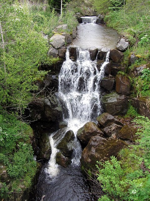
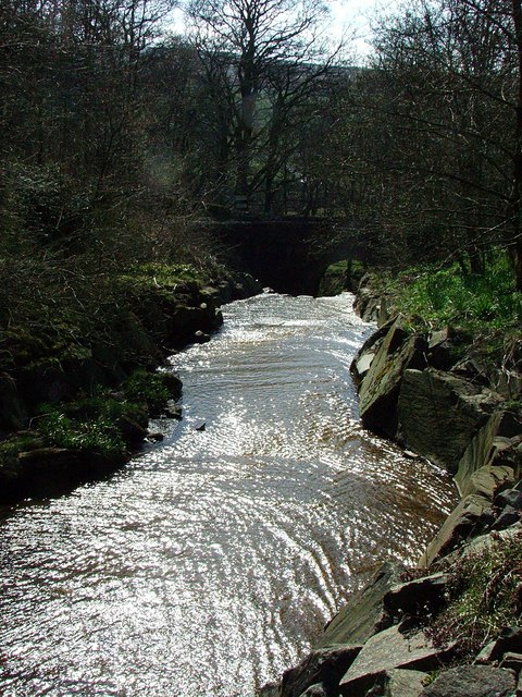
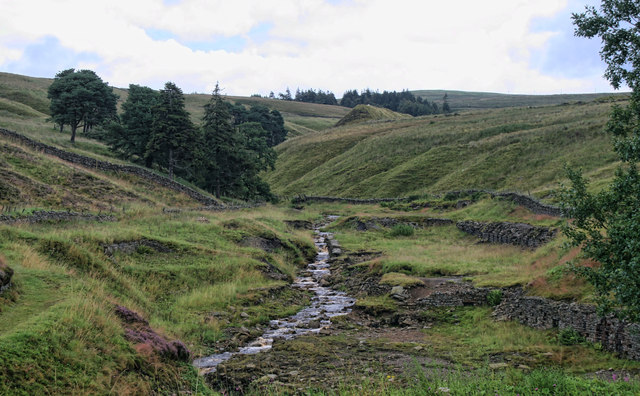
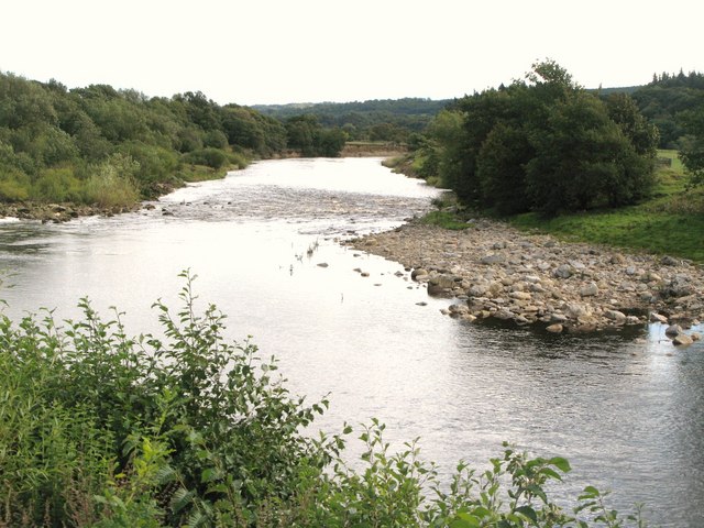
Garrigill Burn is a tributary of the River South Tyne. It joins the River South Tyne near the village of Garrigill in Cumbria.
from Geograph (geograph)
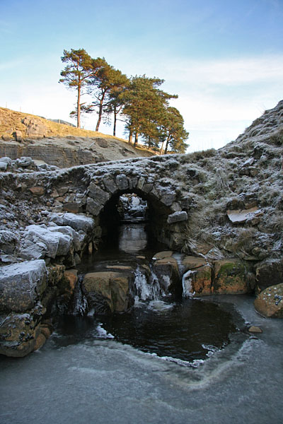
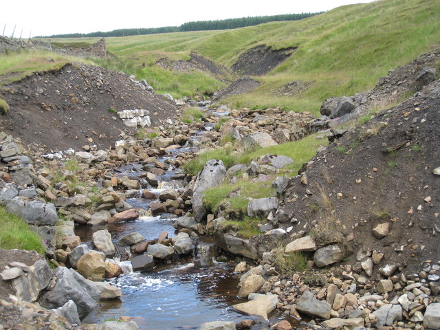
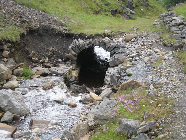
Garrigill Burn goes underground near Bentyfield Mine
Pinned by Simon Cotterill
Co-Curate Page
Garrigill
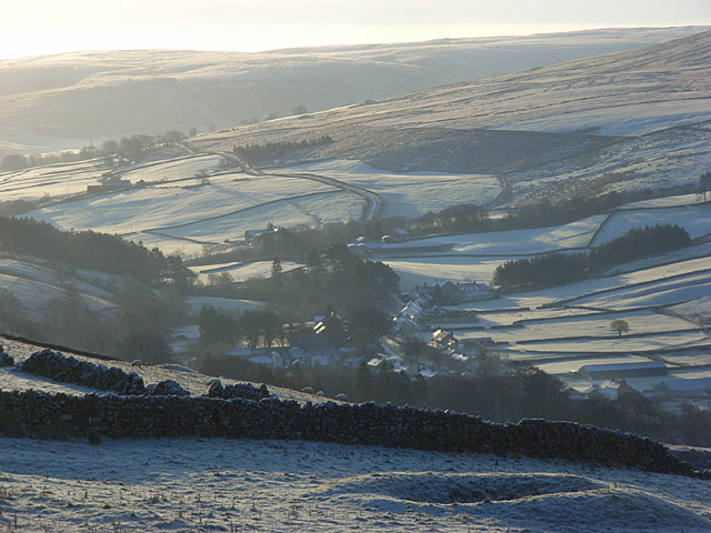
- Overview About Garrigill Map Street View Garrigill is a village in Cumbria, located in the North Pennines, about 3 miles south of Alston. Garrigill is situated by the River South …

from Geograph (geograph)
Garrigill Burn goes underground near Bentyfield Mine
Pinned by Simon Cotterill
Co-Curate Page
Garrigill
- Overview About Garrigill Map Street View Garrigill is a village in Cumbria, located in the North Pennines, about 3 miles south of Alston. Garrigill is situated by the River South …


Grid ref:
NY754425


