Topics > Industry and Work > Farming > Farmsteads
Farmsteads
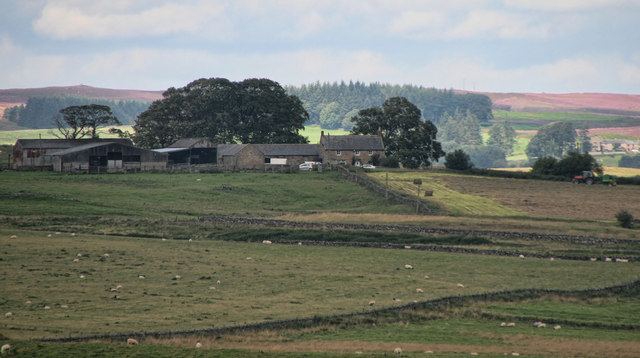
Farmsteads were common features in the countryside during the middle ages and beyond, usually containing a small group of buildings and gardens for one or two families. They were found throughout the country, with more where the land or farming methods supported them. While many of these small farms are still in use today, others were abandoned due to factors like changing economic viability (with increasing mechanisation favouring larger-scale farming), changes in land ownership (enclosure and the development of parkland for wealthy estates), or pandemics such as the Black Death. In the northern border regions, constant cross-border raids and conflict also led to many farmsteads being abandoned.

Co-Curate Page
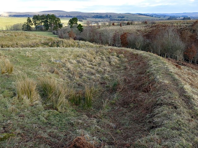
Settlement on SE slope of Ewe Hill
- Map showing Ingram and the Scheduled Monument area on Ewe Hill, to the north-west. Ewe Hill is located along the valley of the River Breamish, about 1km west of Ingram …
Co-Curate Page
Romano-British farmstead, west of Rattenraw
- Overview Map The remains of a Romano-British farmstead are situated on a south facing slope above Rattenraw Burn, located about 330m west of Rattenraw (farm). The remains are relatively well-preserved …
Co-Curate Page
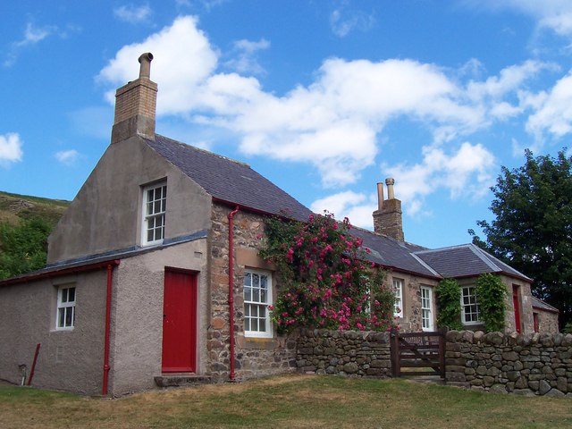
Langleeford Hope
- Overview Map Langleeford Hope is a remote farmstead by the Harthope Burn in Northumberland, located near The Cheviot (hill), about 6 miles south-west of Wooler. The hamet of Langleeford, also …
Co-Curate Page
West Harle
- Overview Map West Harle is a farmstead in Northumberland, located about a mile and a half south of the village of Kirkwhelpington. West Harle Farmhouse was built in the 18th Century …

Co-Curate Page
Settlement on SE slope of Ewe Hill
- Map showing Ingram and the Scheduled Monument area on Ewe Hill, to the north-west. Ewe Hill is located along the valley of the River Breamish, about 1km west of Ingram …
Co-Curate Page
Romano-British farmstead, west of Rattenraw
- Overview Map The remains of a Romano-British farmstead are situated on a south facing slope above Rattenraw Burn, located about 330m west of Rattenraw (farm). The remains are relatively well-preserved …
Co-Curate Page
Langleeford Hope
- Overview Map Langleeford Hope is a remote farmstead by the Harthope Burn in Northumberland, located near The Cheviot (hill), about 6 miles south-west of Wooler. The hamet of Langleeford, also …