Topics > Cumbria > Lake District > Ennerdale Water
Ennerdale Water
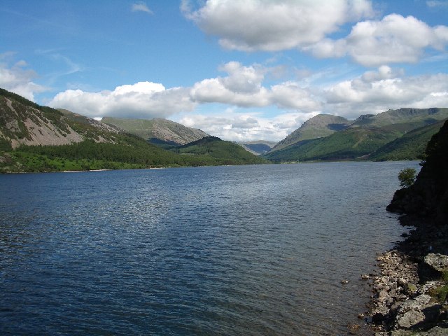
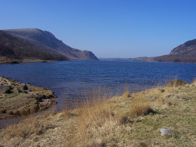
Ennerdale Water is the most westerly lake in the Lake District National Park in Cumbria, England. It is a glacial lake, with a maximum depth of 150 feet (45 metres), and is ½ mile to a mile (700 to 1,500 metres) wide and 2½ miles (3.9 kilometres) long.
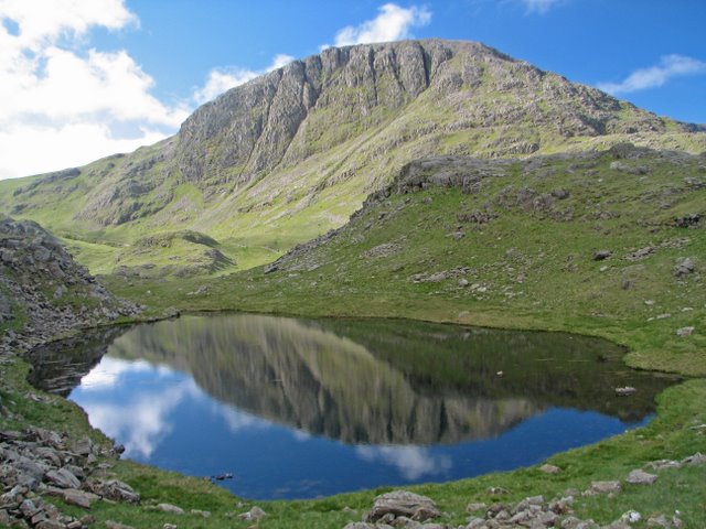
The lake lies in the eponymous valley of Ennerdale, surrounded by some of the highest and best-known fells in Cumbria including: Great Gable (899 m), Green Gable, Brandreth, High Crag, Steeple and Pillar.
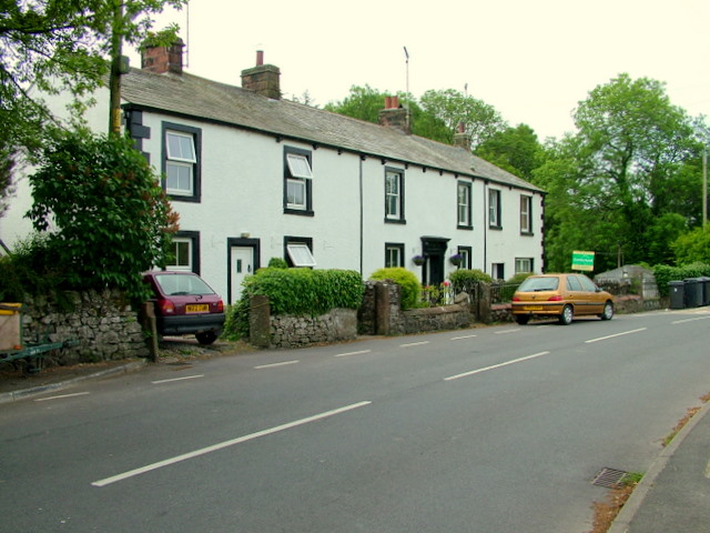
To the west of the lake lies the hamlet of Ennerdale Bridge, consisting of two pubs and a few houses. It is close to the port of Whitehaven.
Etymology
" 'Anund's valley'. The name Ennerdale seems originally to have derived from 'Anundar', gen.[itive] sing.[ular] of the ON pers.[onal] n.[ame] 'Anundr'/'Qnundr', and ON 'dalr' 'valley', but there has been cross-influence between this p.n. and 'Ehen', the name of the river which flows through the valley." (ON is Old Norse.)
The lake has been referred to in guidebooks and maps variously as "Brodewater" (1576), "Brodwater" (1695), "Broad Water" (1760), "Ennerdale Water" (1784) and "Ennerdale Lake" in Otley's Guide (1823). It is now the Ordnance Survey convention to name it "Ennerdale Water".
Geography
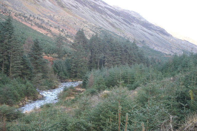
Ennerdale Water is fed by the River Liza and other streams, and in turn feeds the River Ehen, which runs to the Irish Sea.
Water abstraction
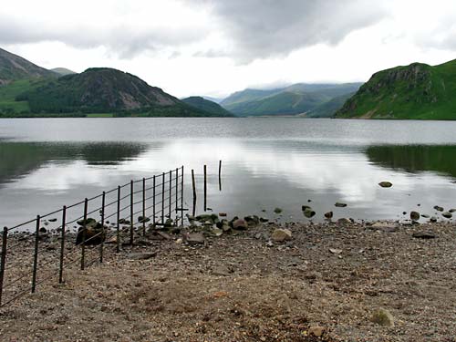
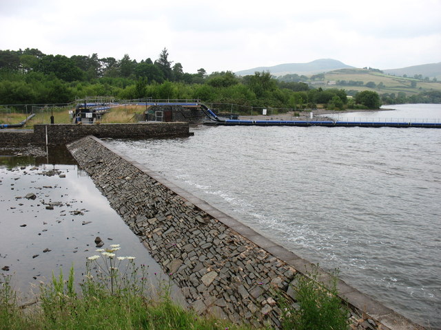
Although the lake is natural, in 1902 a shallow weir was added to what is probably a glacial moraine to maintain the level. The lake is owned by United Utilities, which abstracts water to serve customers in the Whitehaven area.
United Utilities plans to stop using Ennerdale as a source of water by 2025, as the Environment Agency has confirmed that it will withdraw the abstraction licence to protect the environment of Ennerdale, its lake and the River Ehen.
Environmental protection measures
Ennerdale has been designated a biological Site of Special Scientific Interest (SSSI). Species of interest include the Arctic char. The site contains a variety of habitats apart from the open water of the lake itself.
Tourism
Despite being sited on Wainwright's coast-to-coast walk, the valley is not much visited by tourists.
Due to the remote location, the lack of a public road up the valley, and its management by the Forestry Commission, the National Trust and United Utilities, Ennerdale Water has not been as spoiled as other lakes in the National Park by construction, activity on the lake or the effects of tourism.
Notable facts
Though the Lake District is a popular UK location for film shoots, Ennerdale has been left relatively in the shadow, with only a few brief exceptions. The closing sequences of the film 28 Days Later (2002), directed by Danny Boyle, were filmed around the Ennerdale area, and include a sweeping, panoramic view of the lake.
In 1810 a large carnivore killed hundreds of sheep in and around Ennerdale before it was hunted down and killed. The locals dubbed it the Girt (dialect: "great") Dog of Ennerdale, though it was said to have had the traits of both a dog and a large cat.
Once a year, during the last week in August, the Ennerdale Show brings local people together with agricultural displays, competitions, arts and crafts.
Former US President Bill Clinton first proposed to his wife Hillary on the banks of Ennerdale Water in 1973.
Visit the page: Ennerdale Water for references and further details. You can contribute to this article on Wikipedia.
from Flickr (flickr)
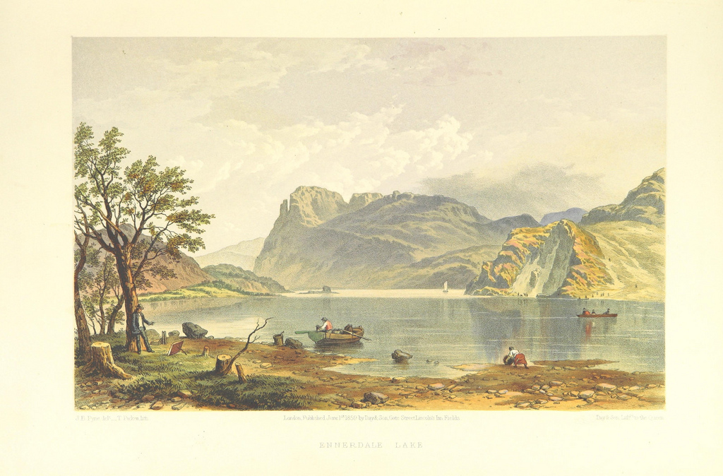
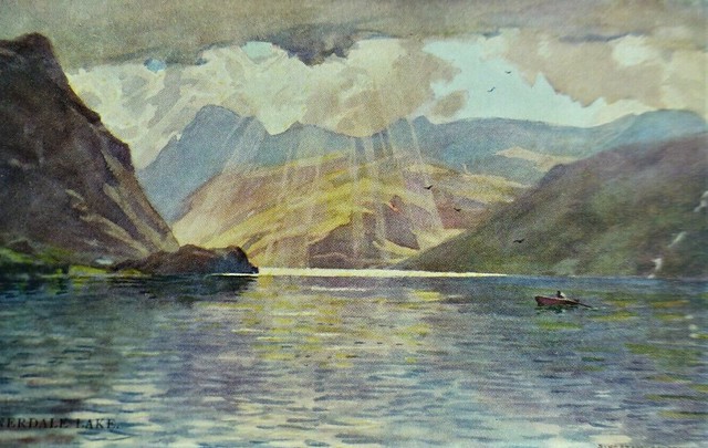
Image taken from page 83 of 'Lake Scenery of England'
Pinned by Simon Cotterill
from Flickr (flickr)
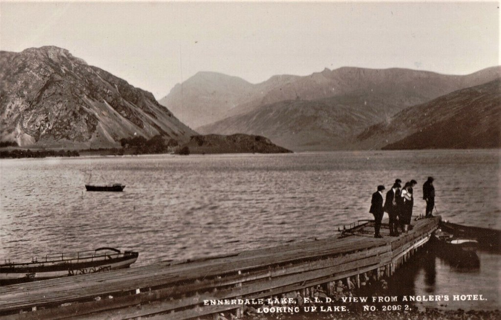
Brittain & Wright Ennerdale Lake ELD View from Anglers Hotel RP Postcard Cumbria
Pinned by Peter Smith
from Flickr (flickr)
L369 ENNERDALE LAKE A. HEATON COOPER Postcard English Lakes No.7a
Pinned by Peter Smith
from Flickr (flickr)
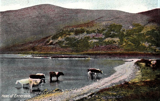
R47. Vintage Postcard. Cattle at the Head of Ennerdale. Cumbria
Pinned by Peter Smith

Co-Curate Page
River Liza, Cumbria
- The River Liza flows through the glacial valley of Ennerdale and discharges into Ennerdale Water in Cumbria. The river is about 11 km long. The outflow of Ennerdale Water continues …
Co-Curate Page
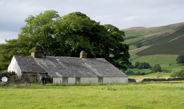
Bowness (near Ennerdale Water)
- Overview Map Street View Bowness is a house on the north side of Ennerdale Water. It dates from the late 17th or early 18th century. The building is Grade II …

from Flickr (flickr)
Image taken from page 83 of 'Lake Scenery of England'
Pinned by Simon Cotterill
from Flickr (flickr)
Brittain & Wright Ennerdale Lake ELD View from Anglers Hotel RP Postcard Cumbria
Pinned by Peter Smith
from Flickr (flickr)
L369 ENNERDALE LAKE A. HEATON COOPER Postcard English Lakes No.7a
Pinned by Peter Smith
from Flickr (flickr)
R47. Vintage Postcard. Cattle at the Head of Ennerdale. Cumbria
Pinned by Peter Smith
Co-Curate Page
River Liza, Cumbria
- The River Liza flows through the glacial valley of Ennerdale and discharges into Ennerdale Water in Cumbria. The river is about 11 km long. The outflow of Ennerdale Water continues …