Topics > County Durham > Embleton

Embleton


Embleton is a hamlet in County Durham, located about 4 miles north-west of Billingham and 3 miles east of Sedgefield.

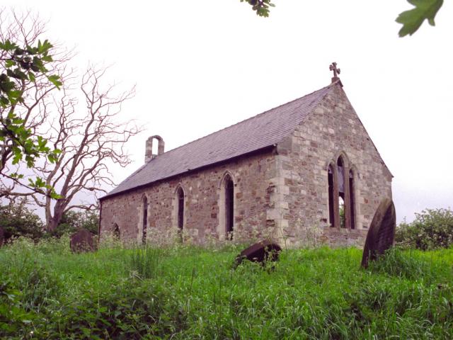
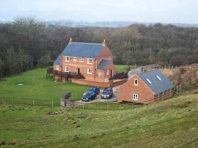
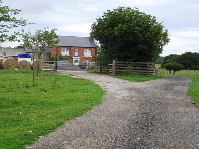
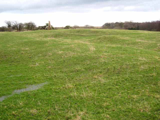
Embleton is a hamlet, township and former chapelry, in County Durham, in England, as well as the site of a medieval village and manor. It is situated 3 miles (5 km) east of Sedgefield and 4 miles (6 km) west of Hartlepool. The township was historically named "Elmdene", supposedly derived from the site's proximity to a woodland of elm trees which, at an earlier time, flourished in the bordering dene. A single farmstead now occupies the site which lies adjacent to the ruins of a small church (originally a manorial chapel of ease) dedicated to the Virgin Mary.

From the 13th to the mid 16th century the manor was the seat of the Elmeden family who assumed the local name. The village was one of nearly 1,500 medieval villages to be abandoned in the 14th century after the collapse of the demesne system of land management. It afterwards passed in the female line to the Bulmers and Smythes and in the 18th century to the Tempests of Wynyard, ancestors of the Marquesses of Londonderry.

Text from Wikipedia, available under the Creative Commons Attribution-ShareAlike License (accessed: 23/02/2018).
Visit the page: Embleton, County Durham for references and further details. You can contribute to this article on Wikipedia.

County Durham Church of St Mary Embleton (Sedgefield), 1848
from Geograph (geograph)
Embleton Farmhouse

Pinned by Simon Cotterill
from Geograph (geograph)
Barns at Embleton

Pinned by Simon Cotterill
from Geograph (geograph)
Access track to Amerston Hall

Pinned by Simon Cotterill
from Geograph (geograph)
New houses near Embleton

Pinned by Simon Cotterill
from Geograph (geograph)
Former Chapel-of-Ease, Embleton

Pinned by Simon Cotterill
from Geograph (geograph)
Entrance to Low Swainston Farm

Pinned by Simon Cotterill
from Geograph (geograph)
View up the Lane to Embleton

Pinned by Simon Cotterill
from Geograph (geograph)
Road bridge at Embleton

Pinned by Simon Cotterill
from Geograph (geograph)
Medieval Village of Embleton

Pinned by Simon Cotterill
from Geograph (geograph)
Un-named Stream Between Swainston and Embleton

Pinned by Simon Cotterill
from Geograph (geograph)
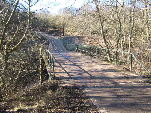
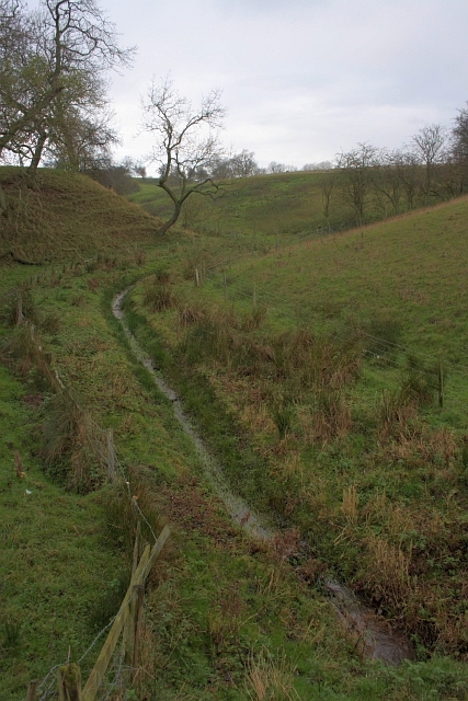
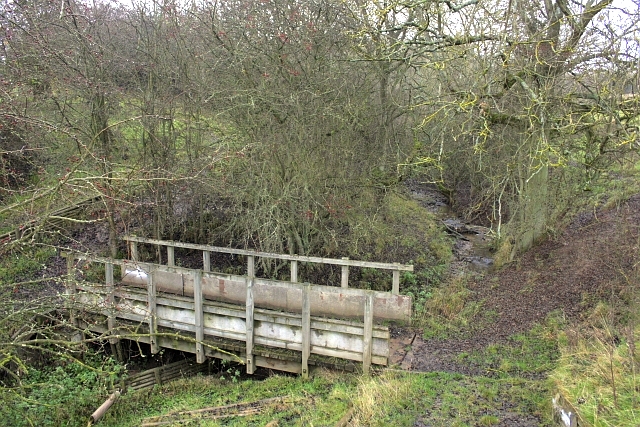
Footpath over culverted watercourse near Embleton

Pinned by Simon Cotterill
from Geograph (geograph)
Amerston Hall

Pinned by Simon Cotterill
from Geograph (geograph)
Bridge Carrying a Public Bridleway Over A Stream

Pinned by Simon Cotterill

Comments

Add a comment or share a memory.

Login to add a comment. Sign-up if you don't already have an account.


ABOUT US

Co-Curate is a project which brings together online collections, museums, universities, schools and community groups to make and re-make stories and images from North East England and Cumbria. Co-Curate is a trans-disciplinary project that will open up 'official' museum and 'un-officia'l co-created community-based collections and archives through innovative collaborative approaches using social media and open archives/data.

LATEST SHARED RESOURCES