Topics > Northumberland > Earsdon
Earsdon
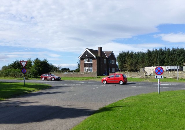
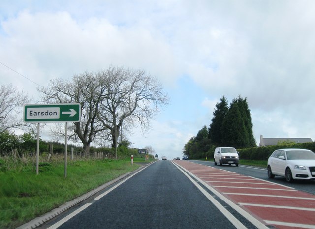
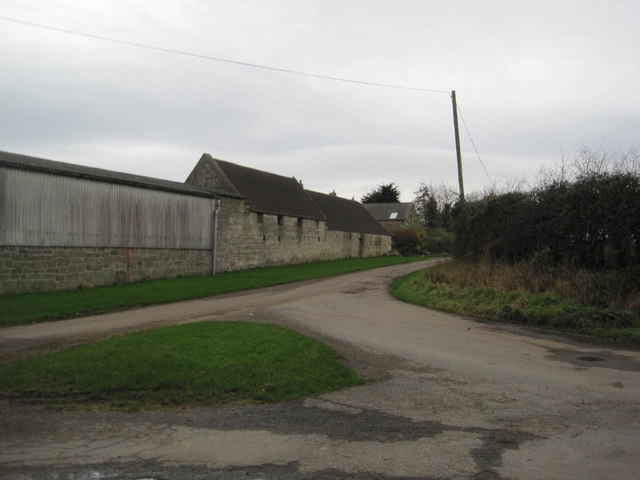
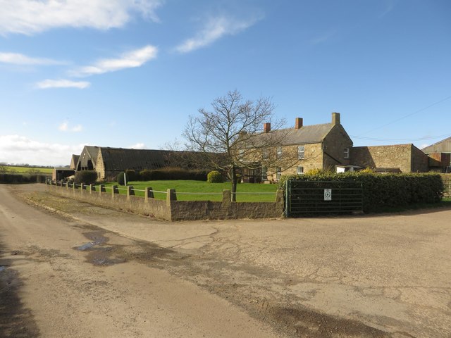
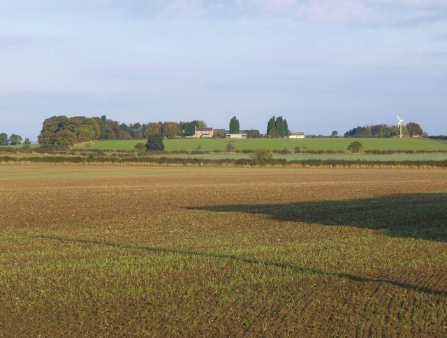
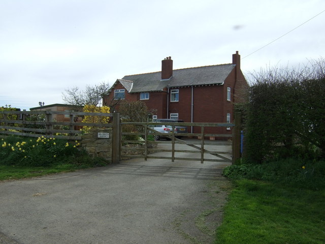
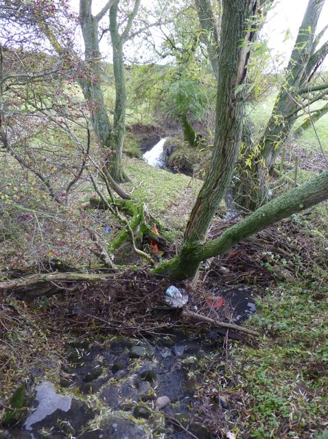
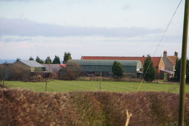
The hamlets of Earson, Earsdon Mill, Earsdon Moor and Earsdon Hill are located about 5 miles north of Morpeth in Northumberland. In the past Earsdon and Earsdon Forest were townships in the parochial chapelry of Hebburn. There was once a windmill at Earsdon Mill. Earsdon Burn flows through the area.
Not to be confused with the village of Earsdon in North Tyneside (historically in Northumberland, and administrative centre for the large Parish of Earsdon).
EARSDON, a township, in the parochial chapelry of Hebburn, union of Morpeth, W. division of Morpeth ward, N. division of Northumberland, 5½ miles (N.) from Morpeth; containing 86 inhabitants. This place has been the property of the families of Bertram, Erdiston, Thornton, and Ogle, of the first of whom was Sir John Bertram, Knt., who died in 1449, possessed of 16 messuages, 14 cottages, 8 acres of meadow, 494 of arable land, 400 of wood, and 300 of moor, in "Eresdon." The Duke of Portland is now the principal owner. The township comprises 913 acres, of which 760 are under the plough, 143 are grass-land, and 10 wood; it is about a mile east of the great north road, and in a very exposed situation, on the brow of a dry hill: on the west side of the road are Earsdon moor and windmill. The tithes have been commuted for £152. 9.
Extracts from: A Topographical Dictionary of England comprising the several counties, cities, boroughs, corporate and market towns, parishes, and townships..... 7th Edition, by Samuel Lewis, London, 1848.

Co-Curate Page
Hebron Chapelry, 1855
- Extract from: History, Topography, and Directory of Northumberland...Whellan, William, & Co, 1855. HEBRON PAROCHIAL CHAPELRY HEBRON is a parochial chapelry, comprising the townships or Causey Park, Cockle Park, Earsdon, …


