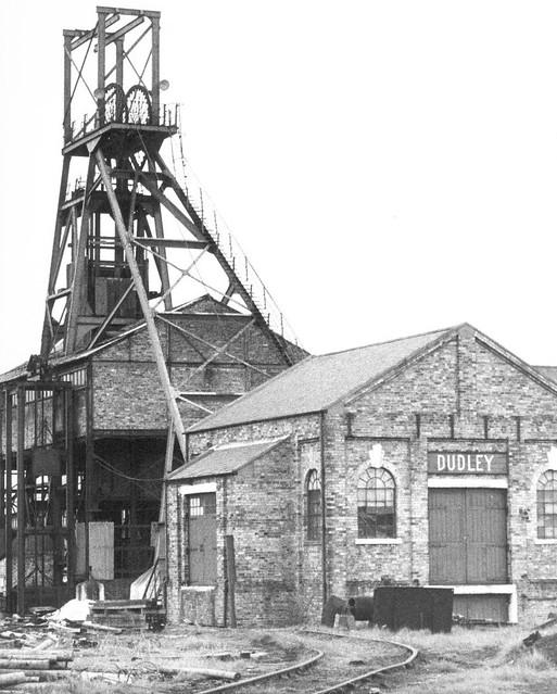
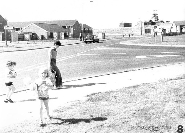
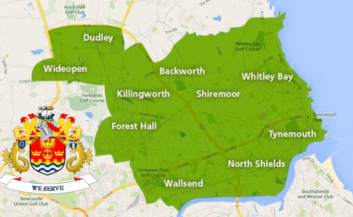
Topics > Tyne and Wear > North Tyneside > Dudley > Dudley Colliery (1856 - 1977)

from https://twsitelines.info/SMR/…
Tyne and Wear HER(1061): Dudley Colliery
- "The 1st edition Ordnance Survey Map shows a Gin within the colliery. The 2nd edition Ordnance Survey Map shows an expansion of colliery buildings and spoil heaps. The colliery opened …
Added by
Simon Cotterill

from https://sitelines.newcastle.g…
Tyne and Wear HER(1060): Cramlington Wagonway (Dudley Branch)
- "The Cramlington Wagonway (Dudley Branch) is shown on the 1st edition Ordnance Survey Map running east from Dudley Colliery. On the 2nd edition Ordnance Survey Map it had been extended …
Added by
Simon Cotterill

from https://twsitelines.info/SMR/…
Tyne and Wear HER(1076): Dudley Colliery Institute
Added by
Simon Cotterill
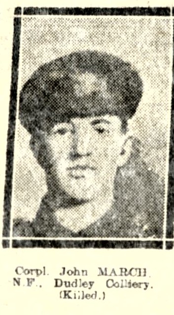
from IllustratedChronicles (flickr)
Corpl. JOHN MARCH, N.F., Dudley Colliery, (Killed).
Pinned by Simon Cotterill


from https://twsitelines.info/SMR/…
Tyne and Wear HER(1061): Dudley Colliery
- "The 1st edition Ordnance Survey Map shows a Gin within the colliery. The 2nd edition Ordnance Survey Map shows an expansion of colliery buildings and spoil heaps. The colliery opened …
Added by
Simon Cotterill

from https://sitelines.newcastle.g…
Tyne and Wear HER(1060): Cramlington Wagonway (Dudley Branch)
- "The Cramlington Wagonway (Dudley Branch) is shown on the 1st edition Ordnance Survey Map running east from Dudley Colliery. On the 2nd edition Ordnance Survey Map it had been extended …
Added by
Simon Cotterill

from https://twsitelines.info/SMR/…
Tyne and Wear HER(1076): Dudley Colliery Institute
Added by
Simon Cotterill

from IllustratedChronicles (flickr)
Corpl. JOHN MARCH, N.F., Dudley Colliery, (Killed).
Pinned by Simon Cotterill
