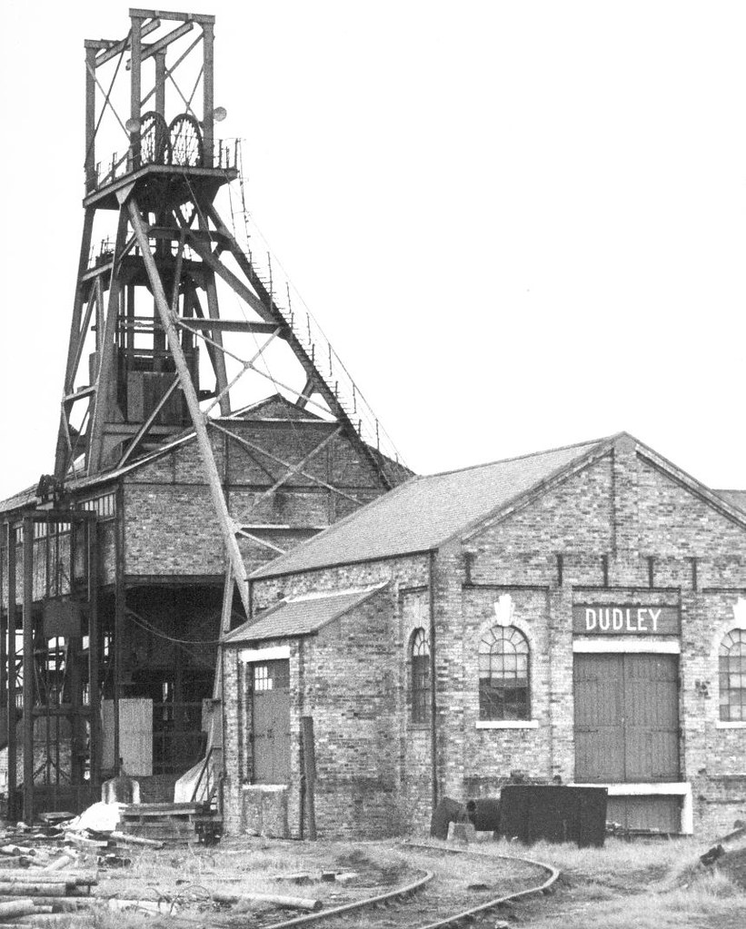
Tyne and Wear HER(1060): Cramlington Wagonway (Dudley Branch)


-
Description
"The Cramlington Wagonway (Dudley Branch) is shown on the 1st edition Ordnance Survey Map running east from Dudley Colliery. On the 2nd edition Ordnance Survey Map it had been extended to the north west to join the NER..." -
Owner
SiteLines -
Source
Local (Co-Curate) -
License
What does this mean? Unknown license check permission to reuse
-
Further information
Link: https://sitelines.newcastle.gov.uk/SMR/1060
Resource type: Text/Website
Added by: Simon Cotterill
Last modified: 5 years, 8 months ago
Viewed: 603 times
Picture Taken: Unknown -
Co-Curate tags


