Topics > Civil Parishes in Cumbria > Dean Civil Parish > Dean Parish, Allerdale, 1848
Dean Parish, Allerdale, 1848
DEAN (St. Oswald), a parish, in the union of Cockermouth, Allerdale ward above Derwent, W. division of Cumberland; containing, with the townships of Branthwaite and Ullock, 876 inhabitants, of whom 226 are in the township of Dean, 5 miles (S.W.) from Cockermouth. This parish comprises about 6,500 acres. The soil of nearly one-half is a wet clay, and the remaining half contains every variety, from the lightest sand and gravel to the richest loam; the surface is pleasingly undulated, and the lower grounds are watered by the small river Marron, which abounds with trout. The substrata are coal, limestone, and iron-ore, and many of the population are employed in mines, and in quarries of a red and white freestone, and a black stone, here called cat-scalp. The living is a rectory, valued in the king's books at £19. 3. 1½.; net income, £318; patron and incumbent, the Rev. Samuel Sherwin. The tithes were commuted for land in 1809; the glebe lands comprise altogether 650 acres, of which the greater portion is of very inferior quality. A free grammar school was founded in 1596, by John Fox, with an endowment of £10 per annum, paid by the Goldsmith's Company, London; the schoolroom was rebuilt in the year 1615, at the expense of his son.
Extract from: A Topographical Dictionary of England comprising the several counties, cities, boroughs, corporate and market towns, parishes, and townships..... 7th Edition, by Samuel Lewis, London, 1848.
Co-Curate Page
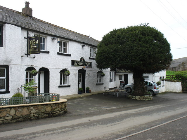
Dean, Allerdale
- Overview About Dean Map Street View Dean is a village and civil parish in the Allerdale district, in the county of Cumbria, England. Dean has a Church of England …
Co-Curate Page
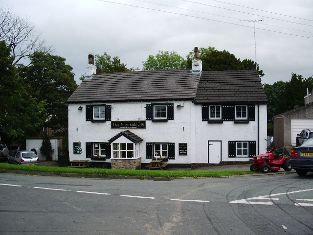
Branthwaite, Workington
- Overview About Branthwaite Map Street View Branthwaite is a village in the Allerdale district of Cumbria, located about 4 miles south-east of Workington and 5 miles south-west of Cockermouth. Historically, …
Co-Curate Page
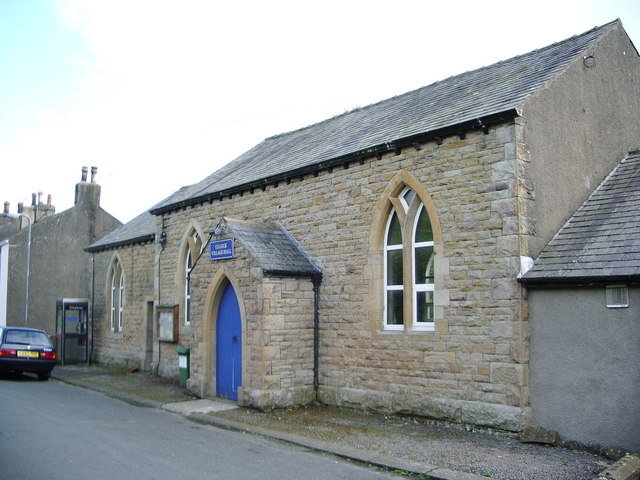
Ullock
- Overview About Ullock Map Street View ULLOCK, with Pardsey and Dean-Scales, a township, in the parish of Dean, union of Cockermouth, Allerdale ward above Derwent, W. division of Cumberland, 5½ …
Co-Curate Page
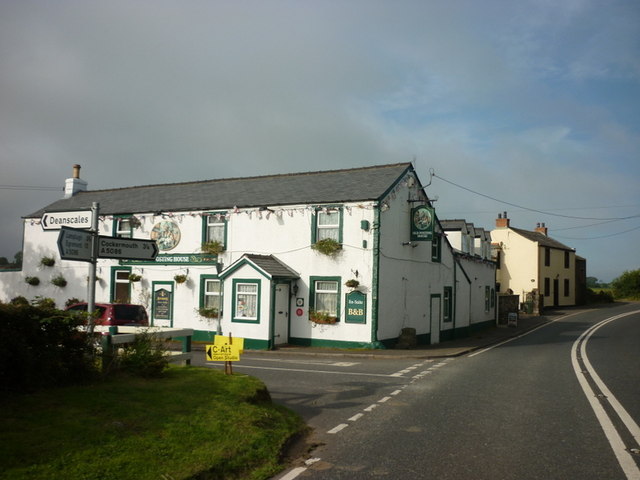
Deanscales
- Overview About Deanscales Map Street View Deanscales is a hamlet in the Allerdale district of Cumbria, located about 3 miles south-west of Cockermouth. The Old Posting House (inn) is located on …

Co-Curate Page
Dean, Allerdale
- Overview About Dean Map Street View Dean is a village and civil parish in the Allerdale district, in the county of Cumbria, England. Dean has a Church of England …
Co-Curate Page
Branthwaite, Workington
- Overview About Branthwaite Map Street View Branthwaite is a village in the Allerdale district of Cumbria, located about 4 miles south-east of Workington and 5 miles south-west of Cockermouth. Historically, …
Co-Curate Page
Ullock
- Overview About Ullock Map Street View ULLOCK, with Pardsey and Dean-Scales, a township, in the parish of Dean, union of Cockermouth, Allerdale ward above Derwent, W. division of Cumberland, 5½ …


