Topics > Cumbria > Garsdale ('The Street') > Dandra Garth, Garsdale
Dandra Garth, Garsdale
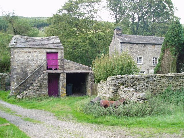
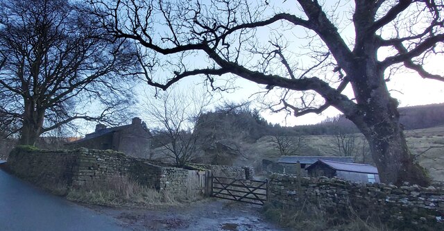
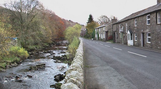
Dandra Garth is a fram located at the east of Garsdale in Cumbria, situated off Hawes Road (A864). The 3 storey stone farmhouse probably dates from the 16th century, incorporating earlier fabric, with 18th century alterations, and is a Grade II* listed building on the National Heritage List for England. There are large barns to the south and east of the farmhouse; both are Grade II listed buildings.

from https://historicengland.org.u…
DANDRA GARTH - Garsdale - List Entry
- Large farmhouse. Probably later C17, altered in C18 or early C19. Slobbered random rubble with a prominent plinth of large masonry, irregular quoins, stone slate roof. T-plan formed by single-depth …
Added by
Simon Cotterill
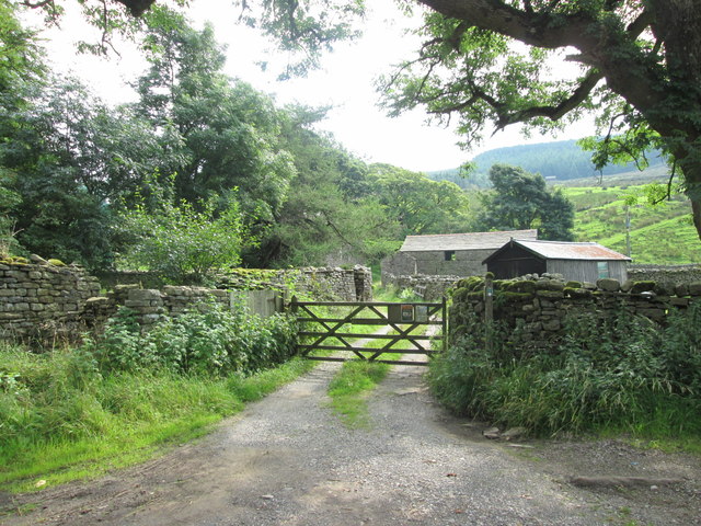
from Geograph (geograph)
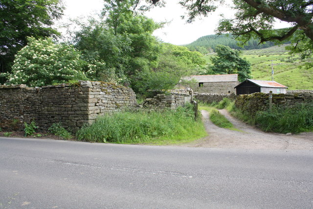
Start of the bridleway to Cowgill at Dandra Garth
Pinned by Simon Cotterill

from https://historicengland.org.u…
BARN APPROXIMATELY 60 METRES SOUTH WEST OF DANDRA GARTH - Garsdale - List Entry
- Barn. Probably C18. Coursed sandstone rubble with shallow quoins and some through-stones; stone slate roof with red ridge tiles. Rectangular plan on east-west axis facing south. 2 low storeys, with …
Added by
Simon Cotterill

from https://historicengland.org.u…
BARN APPROXIMATELY 30 METRES SOUTH OF DANDRA GARTH - Garsdale - List Entry
- Bank barn. Probably C18. Coursed sandstone rubble with quoins, stone slate roof. Rectangular plan on east-west axis facing north, parallel to slope, with rear to higher ground. Two low storeys …
Added by
Simon Cotterill

from https://doi.org/10.5284/10307…
Arnold, A. (2014). Dandra Garth, Garsdale, Cumbria: Tree-Ring Analysis of Timbers . Fort Cumberland: Historic England.
- Analysis undertaken on samples from a number of different areas at Dandra Garth resulted in the dating of site sequence DNDRSQ01, which contains 32 samples, to the period AD 1373-1635. …
Added by
Simon Cotterill
from https://lakesguides.co.uk/htm…
Dandra Garth, Garsdale
- Entry includes several photographs.
Added by
Simon Cotterill


from https://historicengland.org.u…
DANDRA GARTH - Garsdale - List Entry
- Large farmhouse. Probably later C17, altered in C18 or early C19. Slobbered random rubble with a prominent plinth of large masonry, irregular quoins, stone slate roof. T-plan formed by single-depth …
Added by
Simon Cotterill

from Geograph (geograph)
Start of the bridleway to Cowgill at Dandra Garth
Pinned by Simon Cotterill

from https://historicengland.org.u…
BARN APPROXIMATELY 60 METRES SOUTH WEST OF DANDRA GARTH - Garsdale - List Entry
- Barn. Probably C18. Coursed sandstone rubble with shallow quoins and some through-stones; stone slate roof with red ridge tiles. Rectangular plan on east-west axis facing south. 2 low storeys, with …
Added by
Simon Cotterill

from https://historicengland.org.u…
BARN APPROXIMATELY 30 METRES SOUTH OF DANDRA GARTH - Garsdale - List Entry
- Bank barn. Probably C18. Coursed sandstone rubble with quoins, stone slate roof. Rectangular plan on east-west axis facing north, parallel to slope, with rear to higher ground. Two low storeys …
Added by
Simon Cotterill

from https://doi.org/10.5284/10307…
Arnold, A. (2014). Dandra Garth, Garsdale, Cumbria: Tree-Ring Analysis of Timbers . Fort Cumberland: Historic England.
- Analysis undertaken on samples from a number of different areas at Dandra Garth resulted in the dating of site sequence DNDRSQ01, which contains 32 samples, to the period AD 1373-1635. …
Added by
Simon Cotterill

from https://lakesguides.co.uk/htm…
Dandra Garth, Garsdale
- Entry includes several photographs.
Added by
Simon Cotterill
List number: 1384014
List grade: 2*
County: Cumbria
Grid ref: SD7532989705
Unitary Auth: Westmorland & Furness
List grade: 2*
County: Cumbria
Grid ref: SD7532989705
Unitary Auth: Westmorland & Furness
