Topics > County Durham > Civil Parishes in County Durham > Croxdale and Hett Civil Parish > Croxdale - Chapelry, 1848
Croxdale - Chapelry, 1848
CROXDALE, a chapelry, partly in the parish of Merrington, and partly in the parish of St. Oswald, Durham, union of Durham, S. division of Easington ward, N. division of the county of Durham, 3½ miles (S. by W.) from Durham; containing, with the township of Hett, 494 inhabitants. The manor came into the possession of the Salvin family prior to 1474, and has ever since continued in their hands. Here flows a small rivulet called Croxdale beck, the channel of which is a romantic dell of great depth and narrowness. A cross erected at this place gave name to the adjoining lands. The living is a perpetual curacy, endowed with the rectorial tithes; patrons, the Dean and Chapter of Durham. The chapel, dedicated to the Holy Cross, is now a district church. There is a private Roman Catholic chapel at the Hall.
Extract from: A Topographical Dictionary of England comprising the several counties, cities, boroughs, corporate and market towns, parishes, and townships..... 7th Edition, by Samuel Lewis, London, 1848.
Co-Curate Page
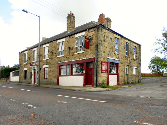
Croxdale
- Overview About Croxdale Map Street View Croxdale is a village in County Durham, located near the River Wear, about 4 miles south of Durham and 2 miles north of Spennymoor. The …
Co-Curate Page
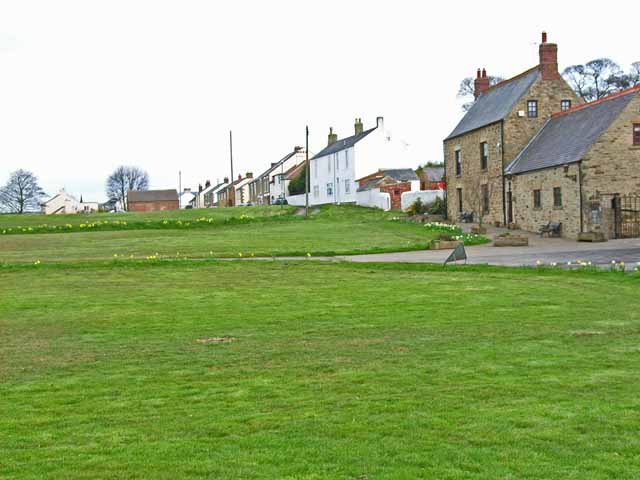
Hett
- Overview About Hett Map Street View Hett is a village in County Durham, located about a mile to the east of Croxdale and 4 miles south of the city of …
Co-Curate Page
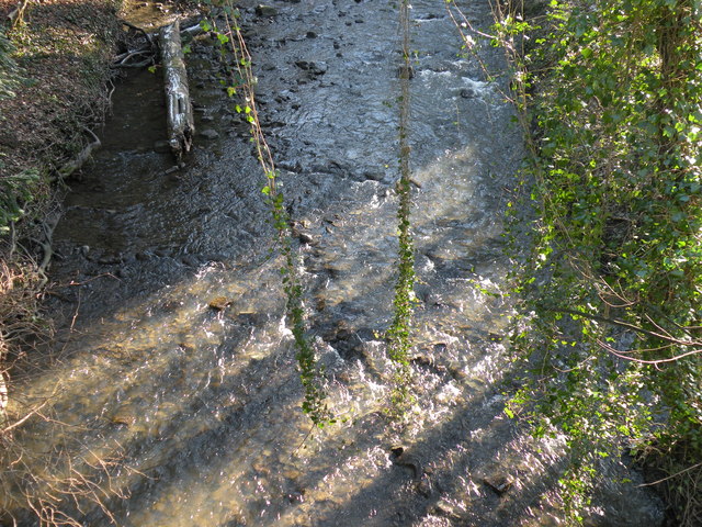
Croxdale Beck
- Croxdale Beck is a small river in County Durham, which is a tributary of the River Wear. The beck is 24 km long and has a catchment area of 47.5 …

Co-Curate Page
Croxdale
- Overview About Croxdale Map Street View Croxdale is a village in County Durham, located near the River Wear, about 4 miles south of Durham and 2 miles north of Spennymoor. The …
Co-Curate Page
Hett
- Overview About Hett Map Street View Hett is a village in County Durham, located about a mile to the east of Croxdale and 4 miles south of the city of …


