Topics > Tees Valley > Charltons, Redcar and Cleveland
Charltons, Redcar and Cleveland
Co-Curate Page
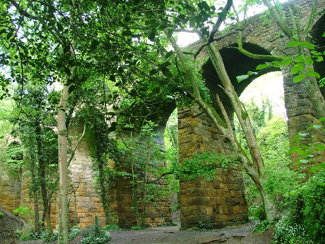
Waterfall Viaduct, nr Guisborough
- Overview Map The stone viaduct over Waterfall Beck and Spa Woods near Fancy Bank (A171), east of Guisborough, was constructed between 1858 and 1862 as part of the former Cleveland …
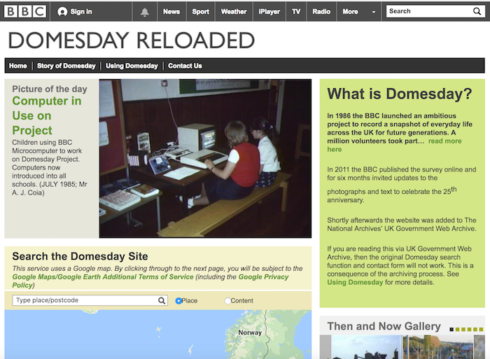
from https://web.archive.org/web/2…
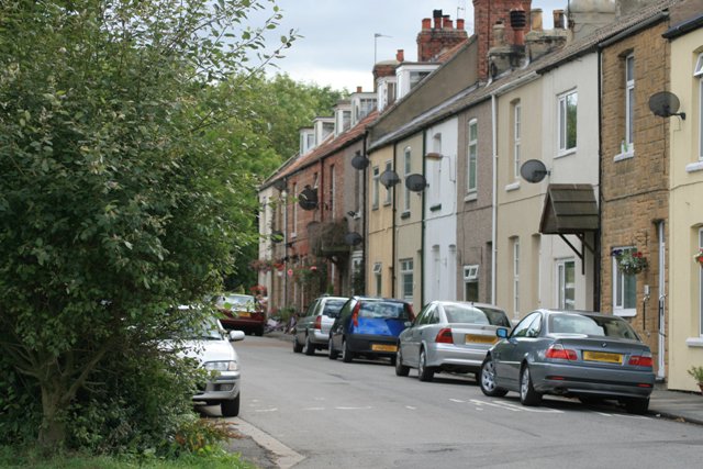
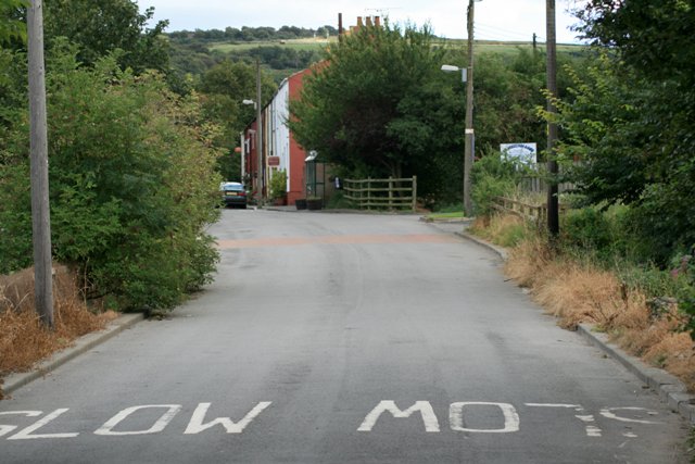
CHARLTONS VILLAGE
- Information about Charltons by Stephen Larkin as part of the BBC Domesday Reloaded project. "The village is usually known as Charltons. This name is used on maps, road signs and …
Added by
Peter Smith


Co-Curate Page
Waterfall Viaduct, nr Guisborough
- Overview Map The stone viaduct over Waterfall Beck and Spa Woods near Fancy Bank (A171), east of Guisborough, was constructed between 1858 and 1862 as part of the former Cleveland …

from https://web.archive.org/web/2…
CHARLTONS VILLAGE
- Information about Charltons by Stephen Larkin as part of the BBC Domesday Reloaded project. "The village is usually known as Charltons. This name is used on maps, road signs and …
Added by
Peter Smith
