


Co-Curate Page
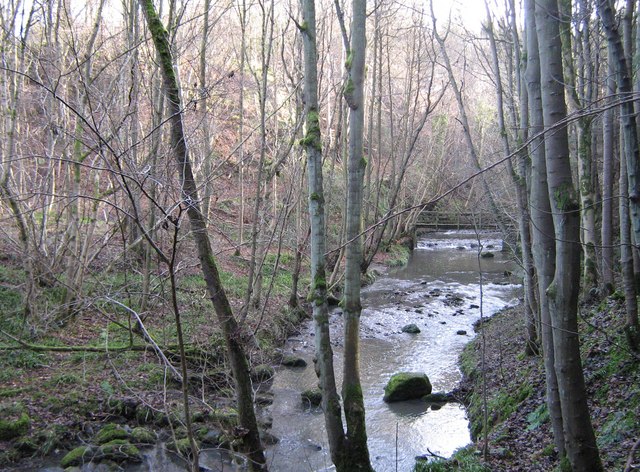
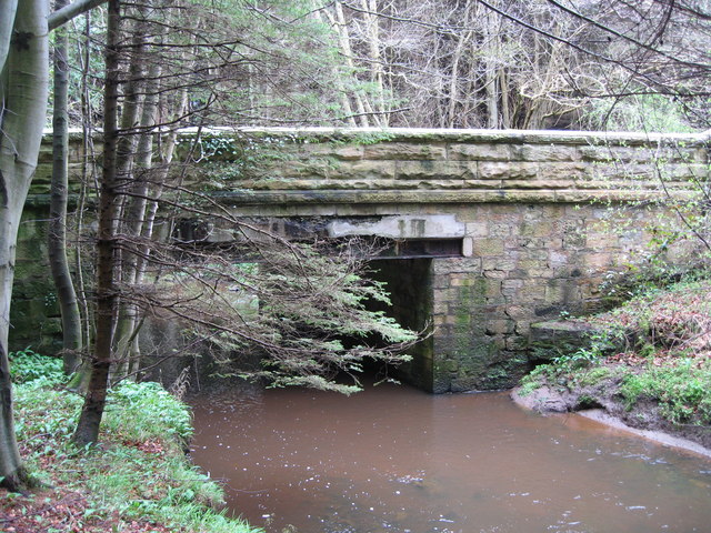
Cawledge Viaduct
- Overview Map Street View Cawlege Viaduct was built to carry the Alnwick Branch Line railway over Cawledge Burn. The line, built by Robert Stephenson, for the York, Newcastle & Berwick …


Co-Curate Page
East Cawledge
- Overview Map Street View East Cawledge (historic spelling: Cauledge) is a hamlet located about half mile south-east of Alnwick. There is East Cawledge Farm and a couple of cottages, situated …


Co-Curate Page
West Cawledge Park
- Overview Map West Cawledge Park is a former dairy farm which supplied milk to Alnwick until the 1950s. The land was dispersed to adjoining farms in the 1960s. The owners …

Co-Curate Page
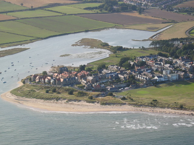
Greensfield Moor Farm (Denwick)
- Overview Map Street View Greensfield Moor Farm is located off the A1 about 1 mile south of Alnwick town centre. It is situated to the north of Cawledge Burn. The …

Co-Curate Page
Cawledge Viaduct
- Overview Map Street View Cawlege Viaduct was built to carry the Alnwick Branch Line railway over Cawledge Burn. The line, built by Robert Stephenson, for the York, Newcastle & Berwick …
Co-Curate Page
East Cawledge
- Overview Map Street View East Cawledge (historic spelling: Cauledge) is a hamlet located about half mile south-east of Alnwick. There is East Cawledge Farm and a couple of cottages, situated …
Co-Curate Page
West Cawledge Park
- Overview Map West Cawledge Park is a former dairy farm which supplied milk to Alnwick until the 1950s. The land was dispersed to adjoining farms in the 1960s. The owners …