Topics > Cumbria > Rivers in Cumbria > River Irthing > Cam Beck (Eden & Esk)
Cam Beck (Eden & Esk)
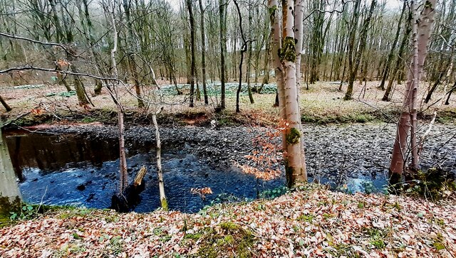
Cam Beck is a major tributary of the River Irthing in Cumbria. The beck has a catchment area of 34.5 km2 and is 17.7 km long.[1]


Co-Curate Page
Cambeckhill
- Overview Map Street View Cambeckhill Farm is located about 2 miles north-west of Brampton, in Cumbria. It is situated to the west of Cam Beck (river) and is on the …
Co-Curate Page
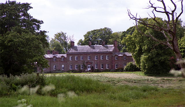
Castlesteads
- Overview Map Street View Castlesteads is a large county mansion, located just under a mile south-west of Walton, and 1½ mile north-west of Brampton in Cumbria. The house, situated near …


Co-Curate Page
Cambeckhill
- Overview Map Street View Cambeckhill Farm is located about 2 miles north-west of Brampton, in Cumbria. It is situated to the west of Cam Beck (river) and is on the …
Co-Curate Page
Castlesteads
- Overview Map Street View Castlesteads is a large county mansion, located just under a mile south-west of Walton, and 1½ mile north-west of Brampton in Cumbria. The house, situated near …


