Topics > Northumberland > Caistron
Caistron
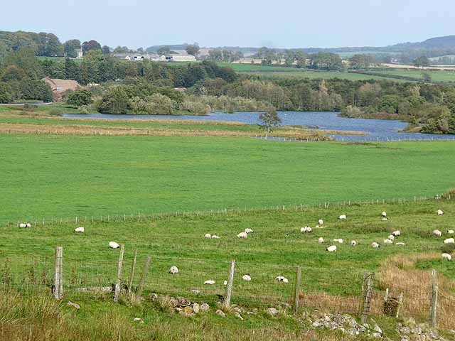
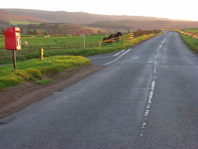
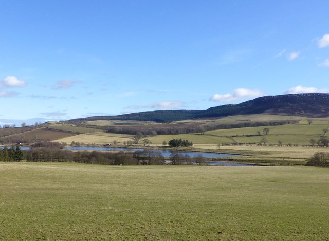
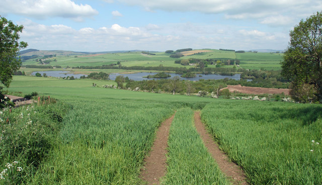
CAISTRON, a township, in the parish and union of Rothbury, W. division of Coquetdale ward, N. division of Northumberland, 4½ miles (W.) from Rothbury; containing 54 inhabitants. This pleasant village, around which is a fertile alluvial soil, is situated on the brink of the Coquet, one mile south-by-west from Flotterton. It was formerly the property of three persons of the name of Hall, called respectively in the neighbourhood, duke, lord, and lawyer, and one of whom bequeathed, in 1779, the annual sum of £4. 15. to be paid out of his estate towards the support of a schoolmaster in the place. A school-house was erected in 1792, with money left by the Rev. John Tomlinson and others.
Extract from: A Topographical Dictionary of England comprising the several counties, cities, boroughs, corporate and market towns, parishes, and townships..... 7th Edition, by Samuel Lewis, London, 1848.

Co-Curate Page
Rothbury Parish, 1855
- Extract from: History, Topography, and Directory of Northumberland...Whellan, William, & Co, 1855. ROTHBURY PARISH ROTHBURY parish is bounded on the north by Whittingham, on the west by Elsdon, on …


from https://historicengland.org.u…
Oval mound 1/4 mile (400m) NW of Caistron Farm
Added by
Simon Cotterill

from https://keystothepast.info/se…
Camp Field Iron Age Enclosure (Hepple)
- Caistron. An irregular earthwork with single rampart enclosing the area of approximately 2 acres. (Listed as native site). (2)
Immediately east of Caistron, in a field called the Camp Field, …
Added by
Simon Cotterill

Co-Curate Page
Rothbury Parish, 1855
- Extract from: History, Topography, and Directory of Northumberland...Whellan, William, & Co, 1855. ROTHBURY PARISH ROTHBURY parish is bounded on the north by Whittingham, on the west by Elsdon, on …
from https://historicengland.org.u…
Oval mound 1/4 mile (400m) NW of Caistron Farm
Added by
Simon Cotterill
from https://keystothepast.info/se…
Camp Field Iron Age Enclosure (Hepple)
- Caistron. An irregular earthwork with single rampart enclosing the area of approximately 2 acres. (Listed as native site). (2)
Immediately east of Caistron, in a field called the Camp Field, …
Added by
Simon Cotterill


