Topics > Geography > Rivers > River Derwent (Tyne) > Burnhope Burn
Burnhope Burn
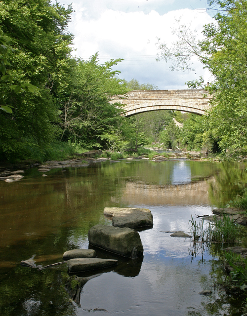
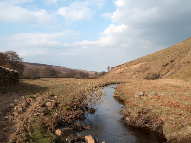
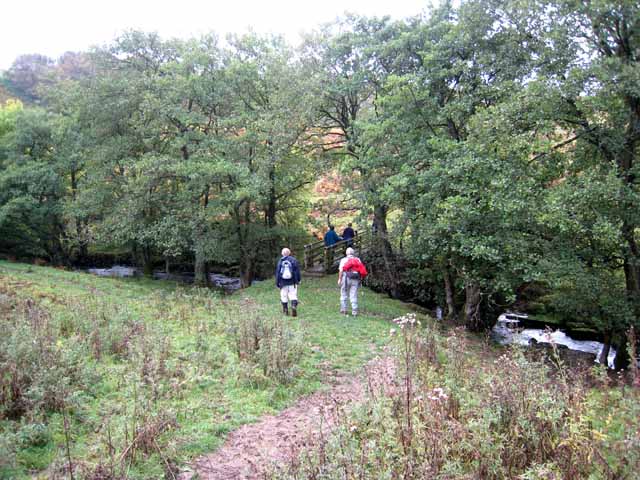
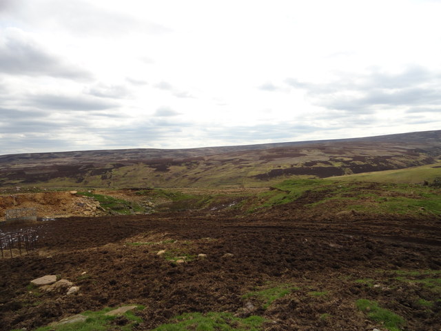
Burnhope Burn is a small river in County Durham, which is a tributary of the River Derwent. Burnhope Burn is about 11.8km long and has a catchment area of 2841 hectars.[1]
nb. Not to be confused with Burnhope Burn in Upper Weardale / Burhope Resevoir.

from http://environment.data.gov.u…
Burnhope Burn from Source to River Derwent
Added by
Simon Cotterill
Co-Curate Page
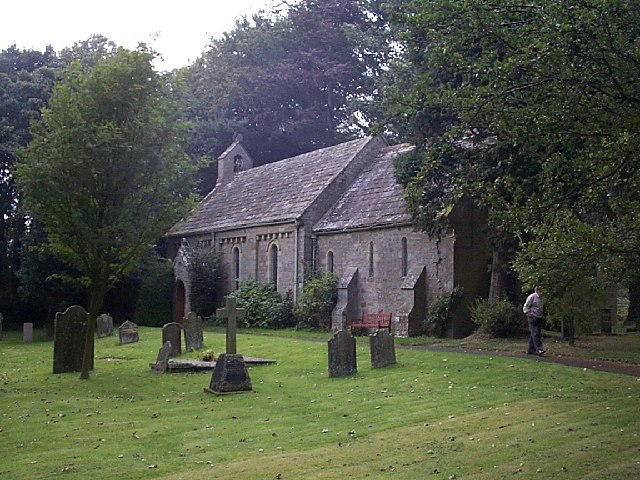
Edmundbyers
- Overview About Edmundbyers Map Street View Edmundbyers is a village in County Durham, in England. The civil parish of Edmondbyers had a population taken at the 2011 Census of …

from http://environment.data.gov.u…
Burnhope Burn from Source to River Derwent
Added by
Simon Cotterill
Co-Curate Page
Edmundbyers
- Overview About Edmundbyers Map Street View Edmundbyers is a village in County Durham, in England. The civil parish of Edmondbyers had a population taken at the 2011 Census of …