Topics > Northumberland > Low Brunton (Chollerford)
Low Brunton (Chollerford)
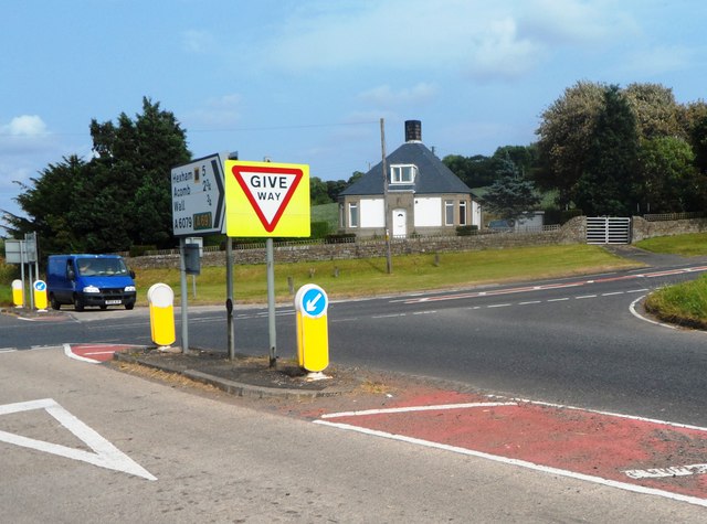
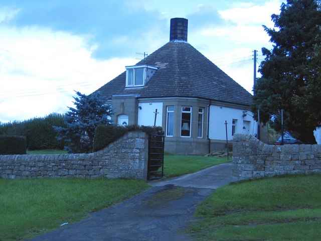
Low Brunton is a hamlet in Northumberland located about 3½ miles north of Hexham and ½ mile south-east of Chollerford. The settlement is at the crossroads of the B6318 (Brunton Bank) and A6079 roads. The course of Hadrian's Wall runs close by. Brunton Turret and Planetrees Roman Wall, in Wall Mile 26, is close to Low Brunton. Historically, Low Brunton was part of the township of Wall, in the ancient parish of St John Lee. Wheelan's 1855 directory of Northumberland lists Ralph Shankfl as farmer and corn miller at Low Brunton at that time.[1] Today, Low Brunton is part of Wall Civil Parish.
Not to be confused with Brunton / High & Low Brunton near Alnwick, also in Northumberland.
Co-Curate Page
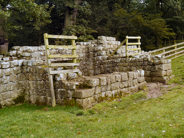
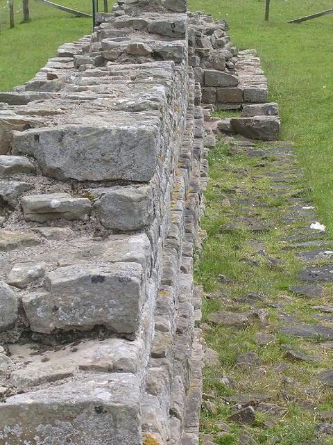
Brunton Turret, Hadrian's Wall
- Overview About Turret 26b Map Interactive Glossary Turret 26b, near Low Brunton, is in Wall Mile 26 of Hadrian's Wall. Turrets on Hadrian’s Wall were small watchtowers built into the …
Co-Curate Page
Wall Mile 26
- <Mile 25 | Mile 26 | Mile 27> Hadrian's Wall - Wall Mile 26 Hadrian's Wall stretches from the east to west coast of England and was an important frontier …

Co-Curate Page
Brunton Turret, Hadrian's Wall
- Overview About Turret 26b Map Interactive Glossary Turret 26b, near Low Brunton, is in Wall Mile 26 of Hadrian's Wall. Turrets on Hadrian’s Wall were small watchtowers built into the …


