Topics > Northumberland > Brunton (Embleton)
Brunton (Embleton)
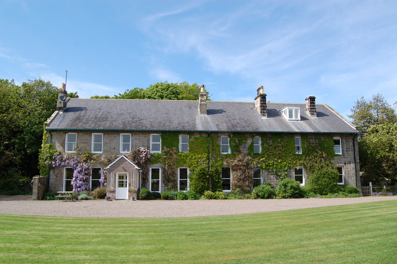
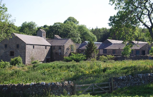
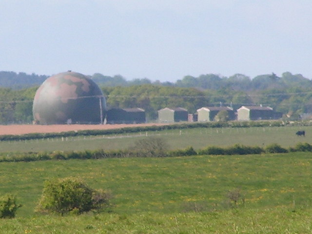
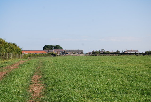
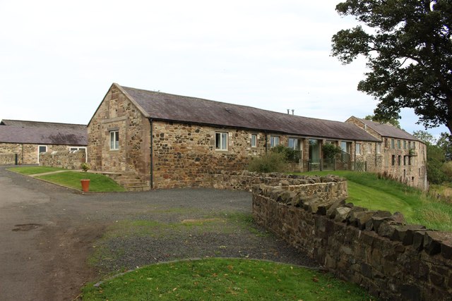
Brunton is a hamlet in Northumberland, situated by Brunton Burn, about 7 miles north of Alnwick. High Brunton is thought to be the site of the deserted medieval village of Brunton, which was first recorded in 1296; even as late as 1828 maps shows a larger farming hamlet.[1] Brunton Airfield was built in 1942, during World War 2, as a satellite airfield of RAF Milfield, for the training of single seat fighter pilots. Historically, High and Low Brunton was a township in the ancient parish of Embleton. Today, Brunton is part of Newton-by-the-Sea Civil Parish. Many of the former farm buildings here have been converted to tourist accommodation.
Not to be confused with Low Brunton near Hexham, also in Northumberland.
from http://www.bruntoncottages.co…
Brunton House and Holiday Cottages
- Website of Brunton House and Holiday Cottages
Added by
Simon Cotterill


Co-Curate Page
Embleton Parish, 1855
- Extract from: History, Topography, and Directory of Northumberland...Whellan, William, & Co, 1855. EMBLETON PARISH EMBLETON parish comprises the chapelries of Rock and Rennington, and the townships of Broxfield, Brunton …

from https://keystothepast.info/se…
Brunton (Newton-by-the-Sea)
- This is the site of the deserted medieval village of Brunton. It was first recorded in 1296 and a map from as late as 1828 shows a large hamlet here. …
Added by
Simon Cotterill


from http://www.bruntoncottages.co…
Brunton House and Holiday Cottages
- Website of Brunton House and Holiday Cottages
Added by
Simon Cotterill
Co-Curate Page
Embleton Parish, 1855
- Extract from: History, Topography, and Directory of Northumberland...Whellan, William, & Co, 1855. EMBLETON PARISH EMBLETON parish comprises the chapelries of Rock and Rennington, and the townships of Broxfield, Brunton …
from https://keystothepast.info/se…
Brunton (Newton-by-the-Sea)
- This is the site of the deserted medieval village of Brunton. It was first recorded in 1296 and a map from as late as 1828 shows a large hamlet here. …
Added by
Simon Cotterill


