Topics > Northumberland > Brownrigg (Rochester and Byrness)
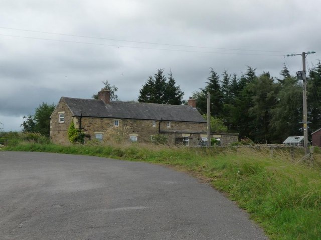
Brownrigg (Rochester and Byrness)
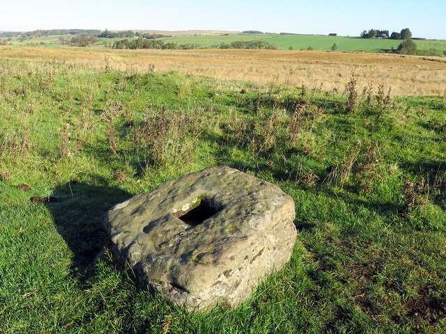
Brownrigg is located by the A68, about 19 miles north of Hexham and 3 miles south-east of the village of Rochester. Brownrigg is listed in the 1860 Northumberland Farms Index under Throughend township in the ancient parish of Elsdon. Today, Brownrigg is part of Rochester with Byrness Civil Parish. There are the remains of a Medieval wayside cross by the route of Dere Street (Roman Road) a short distance north of Brownrigg.