Topics > Northumberland > Baybridge > Bridge at Baybridge
Bridge at Baybridge
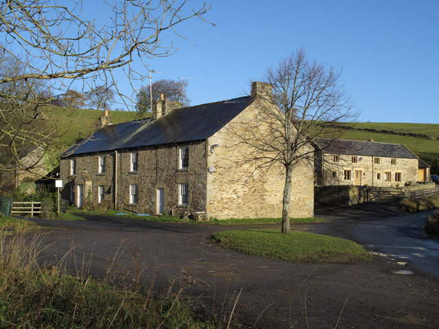
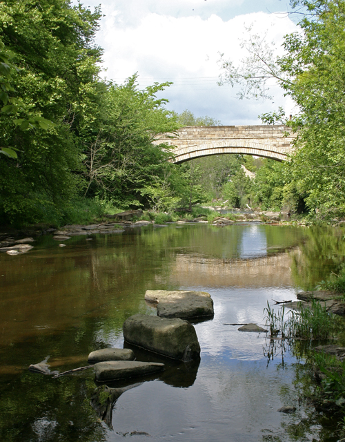
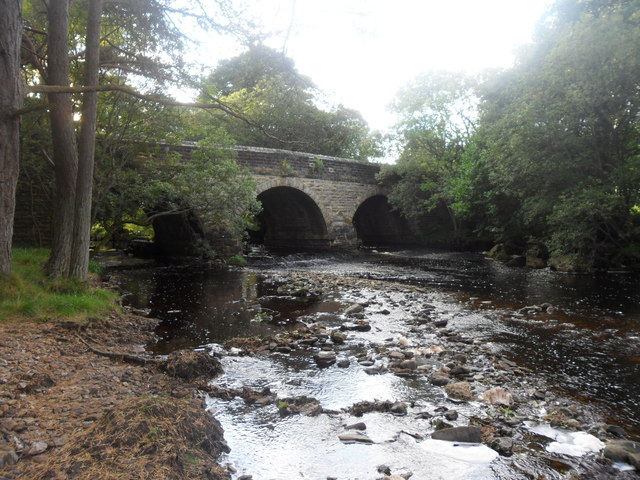
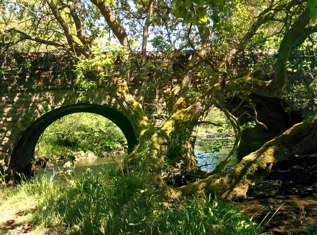
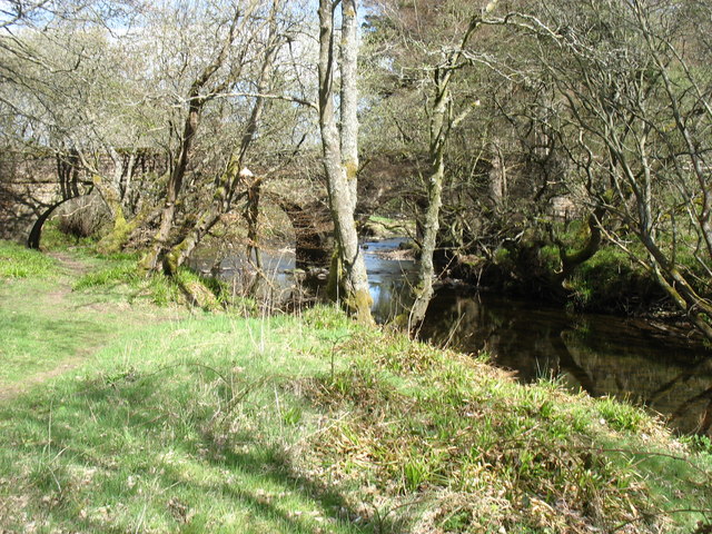
This stone bridge carries the Bale Hill road over the River Derwent at Baybridge. The hamlet of Baybridge is in Northumberland, but the bridge itself is entirely in County Durham. Historically, the River Derwent formed the county boundry between County Durham and Northumberland. But, hundreds of years ago the river changed course, and the the county border remained unchanged. The picnic area by the bridge, although on the north side of the river, belongs to Durham County Council.
from Geograph (geograph)
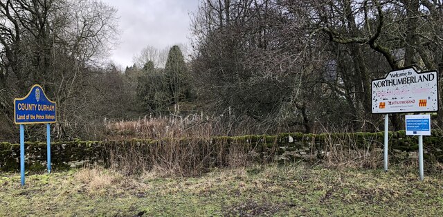
Durham & Northumberland boundary signs beside the River Derwent
Pinned by Simon Cotterill

from https://explorenorthpennines.…
Baybridge Picnic Area
- "...The River Derwent runs alongside this small picnic area. The river used to be the boundary
between County Durham and Northumberland. Hundreds of years ago the river changed
its course …
Added by
Simon Cotterill

from Geograph (geograph)
Durham & Northumberland boundary signs beside the River Derwent
Pinned by Simon Cotterill
from https://explorenorthpennines.…
Baybridge Picnic Area
- "...The River Derwent runs alongside this small picnic area. The river used to be the boundary
between County Durham and Northumberland. Hundreds of years ago the river changed
its course …
Added by
Simon Cotterill