Topics > County Durham > Brafferton
Brafferton
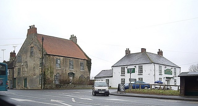
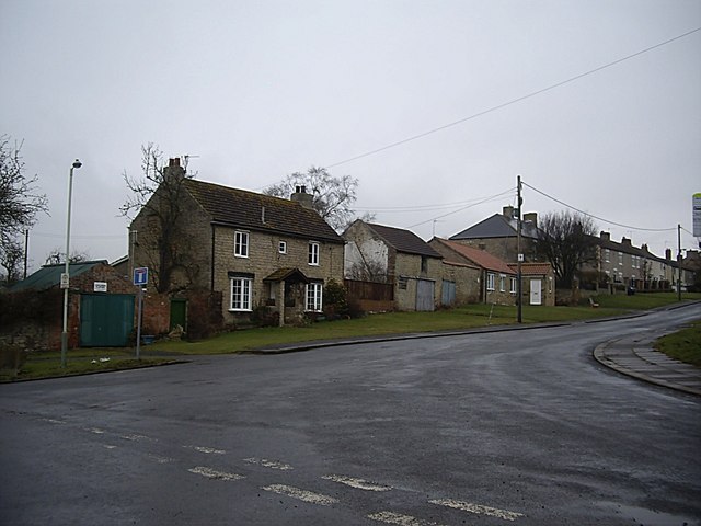
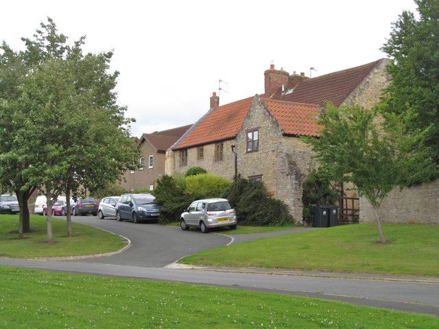
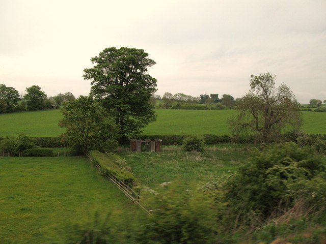
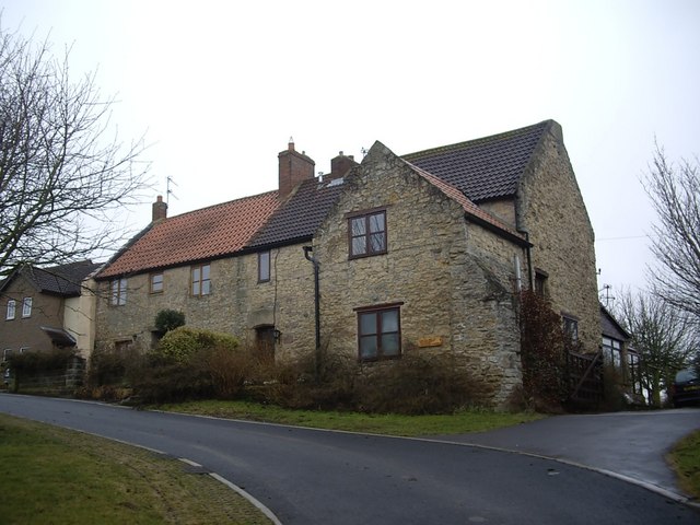
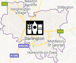
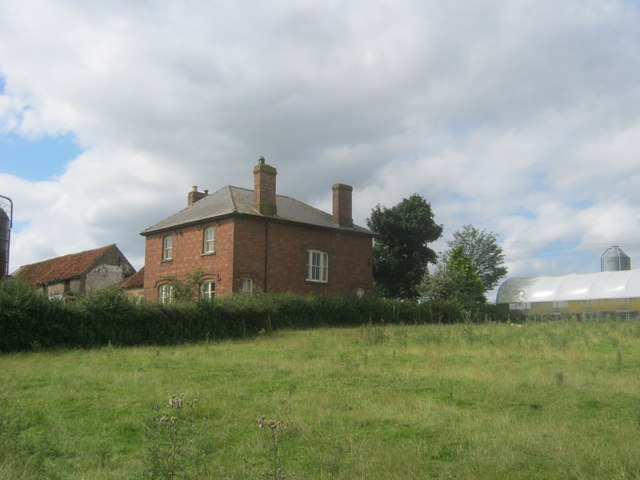
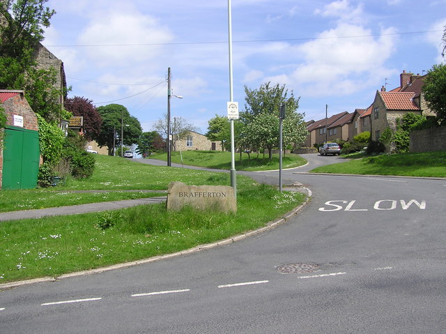 Brafferton is a village located just over a mile south-east of Newton Aycliffe and 3 miles north of the town of Darlington. It is situated near the east bank of the River Skerne. To the west of the village, Mill Bridge, carries Brafferton Lane over the Skerne. The lane connects Brafferton with neaby Coatham Munderville. There is a Village Green, by which is located Brafferton Village Hall. High House Lane continues on from The Green and runs north-eastwards to Lovesome Hill Farm. The lane coninues as a track to High House Farm. There are a couple of farms in the village itself; Swinton House Farm and Town End Farm. The village and surrounding area form Brafferton Civil Parish, which also includes Ketton and some farms and hamlets. Historically, Brafferton was a township in the ancient parish of Aycliffe, County Durham. Today, Brafferton is part of the Borough of Darlington in Tees Valley.
Not to be confused with Brafferton in North Yorkshire. The place name of this is said to derive from 'Broad-ford-tun', meaning a town at the broad ford. The 'ton' in the name is of Saxon origin, meaning village. So, we can speculate that Brafferton in County Durham may have been near a ford on the River Skerne.
Co-Curate Page
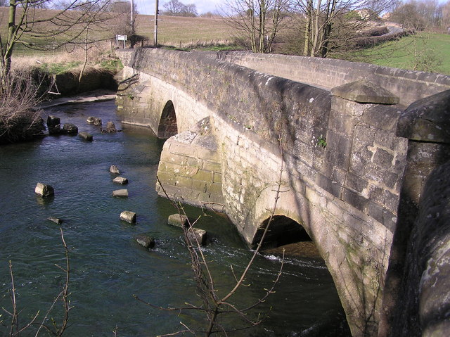
Mill Bridge, Coatham Munderville
- Overview Map Street View Mill Bridge is located east of Coatham Mundeville, and carries Brafferton Lane over the River Skerne. The stone bridge was built in 1861. The bridge straddles the …
Co-Curate Page
Borough of Darlington
- Overview About the Borough of Darlington Darlington Borough Council is a unitary authority in the ceremonial county of County Durham. The borough is part of the Tees Valley combined authority. …

Co-Curate Page
Brafferton Township, 1848
- BRAFFERTON, a township, in the parish of Aycliffe, union of Darlington, S. E. division of Darlington ward, S. division of the county of Durham, 4½ miles (N. by E.) from …


Co-Curate Page
Mill Bridge, Coatham Munderville
- Overview Map Street View Mill Bridge is located east of Coatham Mundeville, and carries Brafferton Lane over the River Skerne. The stone bridge was built in 1861. The bridge straddles the …
Co-Curate Page
Borough of Darlington
- Overview About the Borough of Darlington Darlington Borough Council is a unitary authority in the ceremonial county of County Durham. The borough is part of the Tees Valley combined authority. …
Co-Curate Page
Brafferton Township, 1848
- BRAFFERTON, a township, in the parish of Aycliffe, union of Darlington, S. E. division of Darlington ward, S. division of the county of Durham, 4½ miles (N. by E.) from …