Topics > Northumberland > Civil Parishes in Northumberland > Blanchland Civil Parish
Blanchland Civil Parish
Area: 21.9 km²
Population:
124 (2021 Census)
135 (2011 Census)
143 (2001 Census)
Co-Curate Page
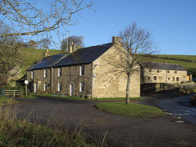
Blanchland
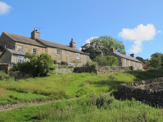
- Overview About Blanchland Map Street View Blanchland is a village in Northumberland situated within the North Pennines Area of Outstanding Natural Beauty. It is very close to the border with …

Co-Curate Page
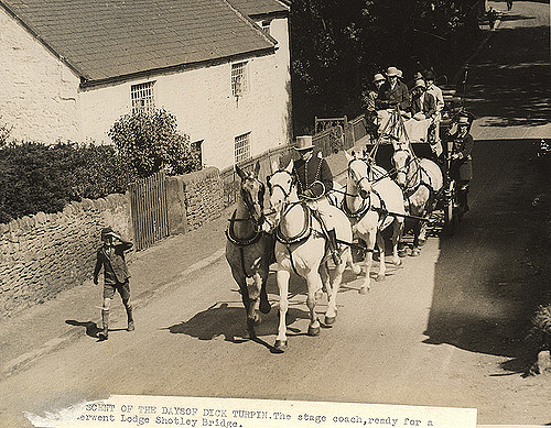
Blanchland, 1848
- BLANCHLAND, otherwise Shotley High-Quarter, a chapelry, in the parish of Shotley, union of Hexham, E. division of Tindale ward, S. division of Northumberland, 10 miles (S. by E.) from Hexham; …
Co-Curate Page
Baybridge
- Overview Map Street View Baybridge is a hamlet in Northumberland, located about ½ mile south-west of the village of Blanchland and 8 miles west of Consett in County Durham. Baybridge …
Co-Curate Page
Newbigin
- NEWBIGGIN, a township, in the parish of Shotley, union of Hexham, E. division of Tindale ward, S. division of Northumberland, 9¼ miles (S.) from Hexham; containing 55 inhabitants. This place, …
Co-Curate Page
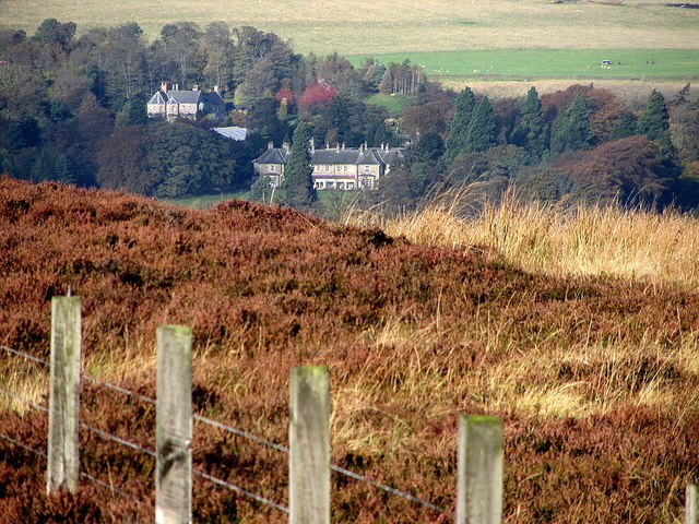
Beldon Shield
- Beldon Shield is a romote location by Newbiggin Fell, to the west of Blanchland in Northumberland. It is situated by Beldon Burn and was the site of Beldon lead mine …
Co-Curate Page
Shildon, Blanchland
- Overview Map Street View Shildon is a hamlet, located about ½ mile north of Blanchland in Northumberland.

Co-Curate Page
Blanchland
- Overview About Blanchland Map Street View Blanchland is a village in Northumberland situated within the North Pennines Area of Outstanding Natural Beauty. It is very close to the border with …
Co-Curate Page
Blanchland, 1848
- BLANCHLAND, otherwise Shotley High-Quarter, a chapelry, in the parish of Shotley, union of Hexham, E. division of Tindale ward, S. division of Northumberland, 10 miles (S. by E.) from Hexham; …
Co-Curate Page
Baybridge
- Overview Map Street View Baybridge is a hamlet in Northumberland, located about ½ mile south-west of the village of Blanchland and 8 miles west of Consett in County Durham. Baybridge …
Co-Curate Page
Newbigin
- NEWBIGGIN, a township, in the parish of Shotley, union of Hexham, E. division of Tindale ward, S. division of Northumberland, 9¼ miles (S.) from Hexham; containing 55 inhabitants. This place, …
Co-Curate Page
Beldon Shield
- Beldon Shield is a romote location by Newbiggin Fell, to the west of Blanchland in Northumberland. It is situated by Beldon Burn and was the site of Beldon lead mine …


