Topics > Northumberland > Beldon Shield

Beldon Shield


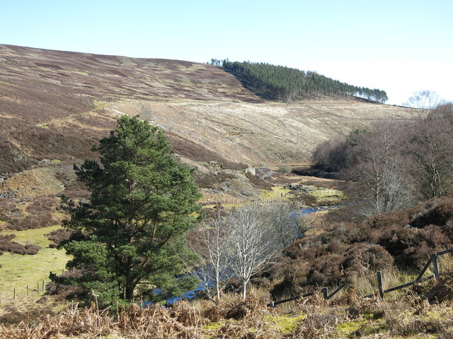
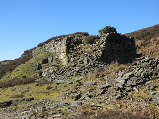
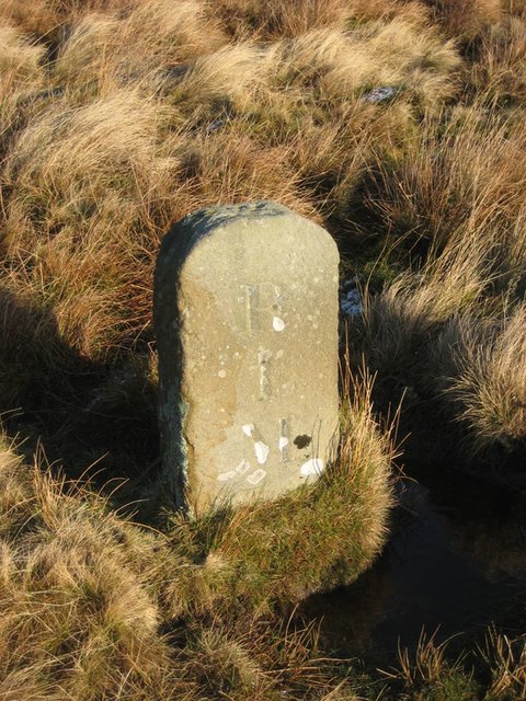
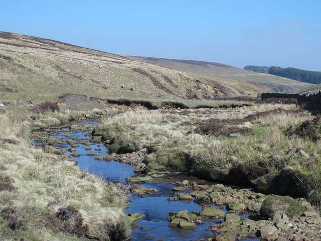
Beldon Shield is a romote location by Newbiggin Fell, to the west of Blanchland in Northumberland. It is situated by Beldon Burn and was the site of Beldon lead mine in the 18th and 19th centuries. Along Beldon Side, which runs by Beldon Burn, is a track from Baybridge to Riddlehamhope; there is a 19th century milestone on this route, located to the west of Beldon Shield.

Northumberland Beldon Burn Blanchland Civil Parish Beldon lead mine and ore works Old Milestone, west of Beldon Shield
from Geograph (geograph)
Beldon Shields

Pinned by Simon Cotterill

Comments

Add a comment or share a memory.

Login to add a comment. Sign-up if you don't already have an account.


ABOUT US

Co-Curate is a project which brings together online collections, museums, universities, schools and community groups to make and re-make stories and images from North East England and Cumbria. Co-Curate is a trans-disciplinary project that will open up 'official' museum and 'un-officia'l co-created community-based collections and archives through innovative collaborative approaches using social media and open archives/data.

LATEST SHARED RESOURCES