Topics > Geography > Rivers > River Rede > Blakehope Burn
Blakehope Burn
Blakehope Burn is a tributary of the River Rede in Northumberland. It has a wide catchment area of 19km2[1], including many tributaries, the largest of which is Hindhope Burn. It is 4.9km long. Blakehope Burn joins the Rede east of Blakehopeburnhaugh


Co-Curate Page
Blakehopeburnhaugh
- Overview Map Street View Blakehopeburnhaugh is a farm in Redesdale Forest, located about ¼mile south-west of the A68 and 8 miles north-west of Otterburn. The farm is situated by Blakehope …

from https://environment.data.gov.…
Blakehope Burn Catchment (trib of Rede)
Added by
Simon Cotterill

Co-Curate Page
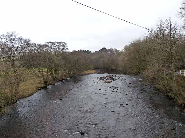
Bridge over Blakehope Burn
- Overview Map Street View There is a bridge carrying the Pennine Way over Blakehope Burn at Blakehopeburnhaugh. There is a car park and picnic area close to the bridge (the …

Co-Curate Page
Blakehopeburnhaugh
- Overview Map Street View Blakehopeburnhaugh is a farm in Redesdale Forest, located about ¼mile south-west of the A68 and 8 miles north-west of Otterburn. The farm is situated by Blakehope …
from https://environment.data.gov.…
Blakehope Burn Catchment (trib of Rede)
Added by
Simon Cotterill