Topics > Northumberland > Blackcleugh (Knarsdale)
Blackcleugh (Knarsdale)
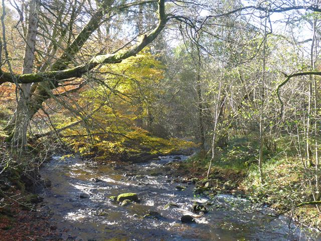
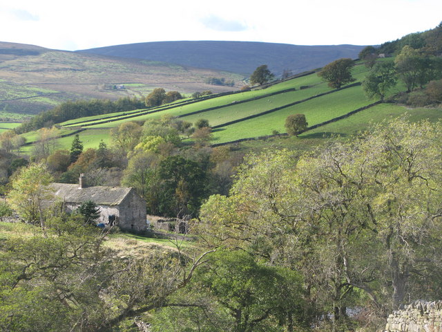
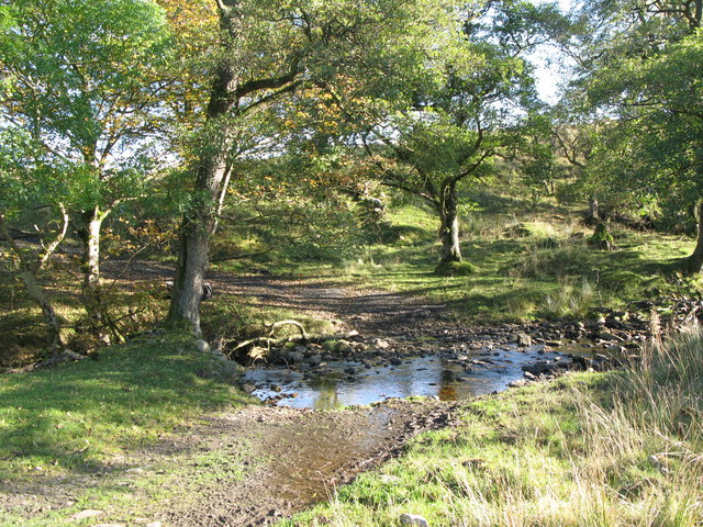
Blackcleugh is a farm in Northumberland, located about 1½ mile north-east of the village of Slaggyford and 3½ miles north of Alston. Blackcleugh is situated near the confluence of Blackcleugh Burn and Barhaugh Burn (a tributary of the River South Tyne). The house and attached farmbuilding here date from the 18th century, with 19th century alterations, and are Grade II listed on the National Heritage List for England.

from https://historicengland.org.u…
BLACKCLEUGH FARMHOUSE AND ADJACENT FARMBUILDINGS - Knarsdale - List Entry
- House and farmbuilding C18 altered early Cl9. Rubble with dressings (house whitewashed); stone slate roofs, stacks rebuilt in brick. House 2 storeys, 2 wide bays. Gabled porch with boarded door …
Added by
Simon Cotterill