Topics > Northumberland > Beltingham
Beltingham
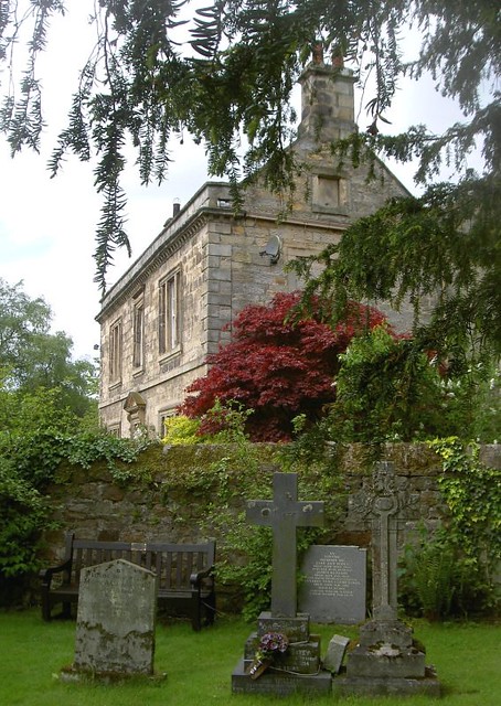
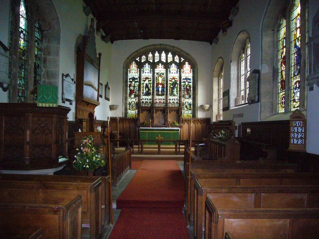
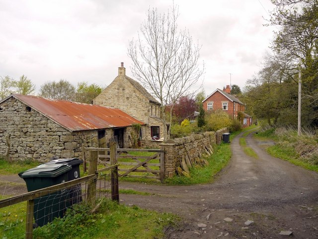
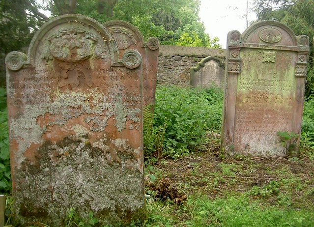
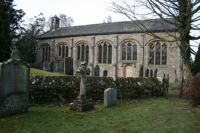
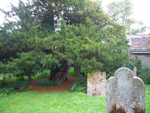
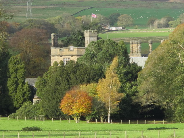
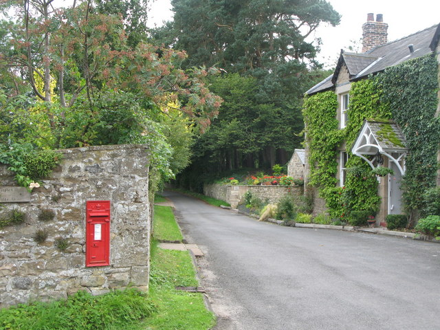
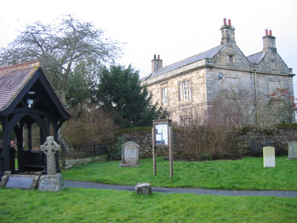
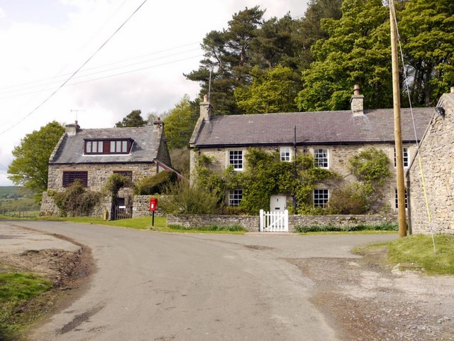
Beltingham is a village in Northumberland located by the River South Tyne, near it's confluence with the River Allen. The village is located under a mile south of Bardon Mill and lies between Haydon Bridge (3 miles to the east) and Haltwitsle (5 miles west). St Cuthbert's Church in Beltingham dates from the 15th century and has ancient yew trees in the churchyard. Historically, Beltingham was part of Ridley township in the ancient parish of Haltwhistle. Since 1955, the village has formed part of Bardon Mill Civil Parish.

Co-Curate Page
Bardon Mill
- Overview About Bardon Mill Map Street View Bardon Mill is a village in Northumberland, located about 16 miles west of Hexham and 9 miles east of Haltwhistle. It is situated …
Co-Curate Page
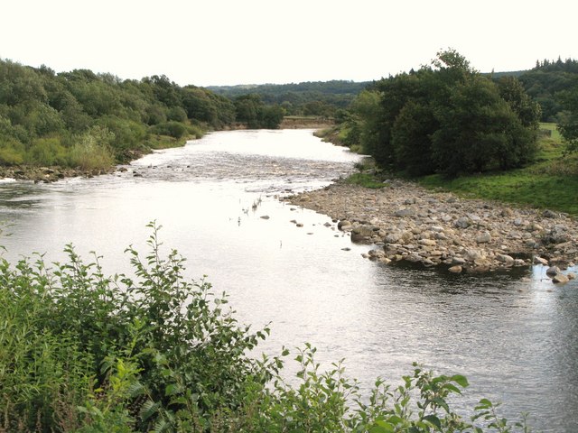
River Allen
- The Allen is a river in Northumberland which is a tributary of the River South Tyne. The River Allen forms with the confluence of the River East Allen and the …
Co-Curate Page
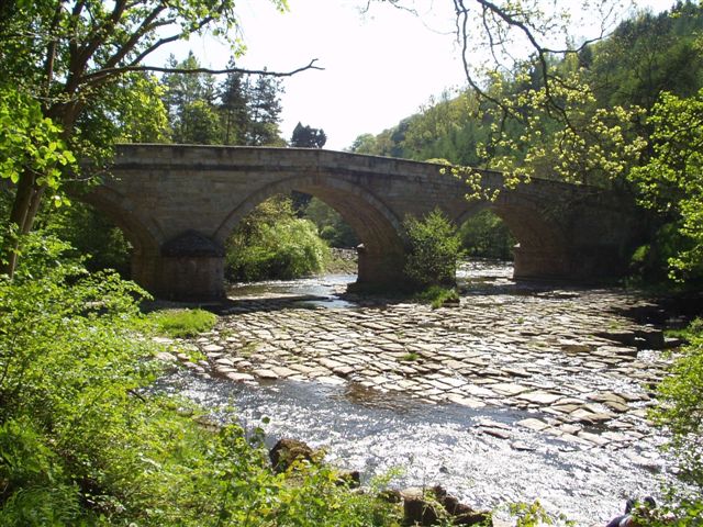
River South Tyne
- Overview Bridges The River South Tyne rises high in the North Pennines at Tynehead Fell in Cumbria and flows in a roughly north-easterly direction to Warden Rock, near Hexham, where it …
Co-Curate Page
Ridley Hall
- Overview About Ridley Hall Map Ridley Hall is an 18th-century country house, now a residential and conference centre, at Bardon Mill, Northumberland. It is a Grade II listed building …

Co-Curate Page
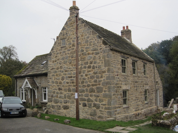
Wool House, Bardon Mill
- Overview Map Wool House is a farm in Northumberland, located about ½mile south-west of Beltingham. Whellan's 1855 directory of Northumberland lists Wool House under Ridley Township, in the ancient parish …
Co-Curate Page
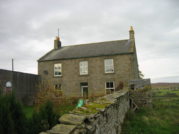
Shaws, Bardon Mill
- Overview Map Shaws is a farm in Northumberland, located about ½mile south-west of Beltingham. The 1860 Northumberland Farm Index lists Shaws under Ridley Township, in the ancient parish of Haltwhistle. …

Co-Curate Page
High Barn, Baron Mill
- Overview Map High Barn, shown on OS Maps, is located about 1 mile WSW of Beltingham in Northumberland. It is ¼mile west of Shaws (farm). The 1860 Northumberland Farms Index …

Co-Curate Page
Bardon Mill
- Overview About Bardon Mill Map Street View Bardon Mill is a village in Northumberland, located about 16 miles west of Hexham and 9 miles east of Haltwhistle. It is situated …
Co-Curate Page
River Allen
- The Allen is a river in Northumberland which is a tributary of the River South Tyne. The River Allen forms with the confluence of the River East Allen and the …
Co-Curate Page
River South Tyne
- Overview Bridges The River South Tyne rises high in the North Pennines at Tynehead Fell in Cumbria and flows in a roughly north-easterly direction to Warden Rock, near Hexham, where it …
Co-Curate Page
Ridley Hall
- Overview About Ridley Hall Map Ridley Hall is an 18th-century country house, now a residential and conference centre, at Bardon Mill, Northumberland. It is a Grade II listed building …
Co-Curate Page
Wool House, Bardon Mill
- Overview Map Wool House is a farm in Northumberland, located about ½mile south-west of Beltingham. Whellan's 1855 directory of Northumberland lists Wool House under Ridley Township, in the ancient parish …
Co-Curate Page
Shaws, Bardon Mill
- Overview Map Shaws is a farm in Northumberland, located about ½mile south-west of Beltingham. The 1860 Northumberland Farm Index lists Shaws under Ridley Township, in the ancient parish of Haltwhistle. …


")
")

")