Topics > Geography > Rivers > River Wear > Bedburn Beck
Bedburn Beck
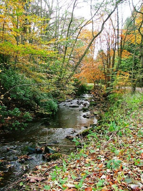
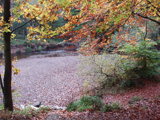
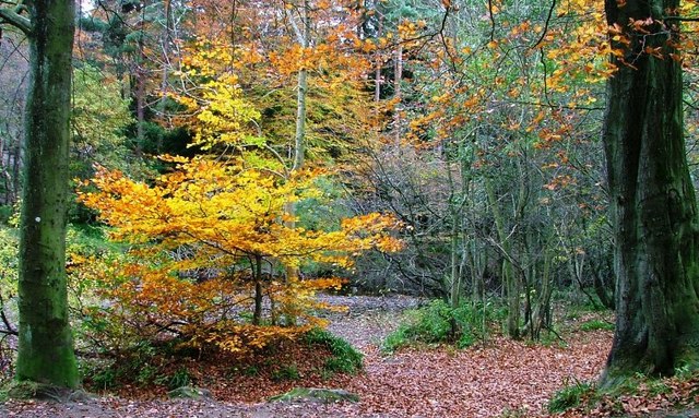
Bedburn Beck is a tributary of the River Wear. It forms with the confluence of Spurlswood Beck and Euden Beck in Hamserly Forest, just south-west of Redford in County Durham. Bedburn Beck flows east through Hamsterly Forest, past Redford, Bedburn, Newhall Caravan Park and joins the River Wear about a mile north-ast of Hamsterly. Including Spurlswood Beck, its longest tributary, the river is 16.8 km long.
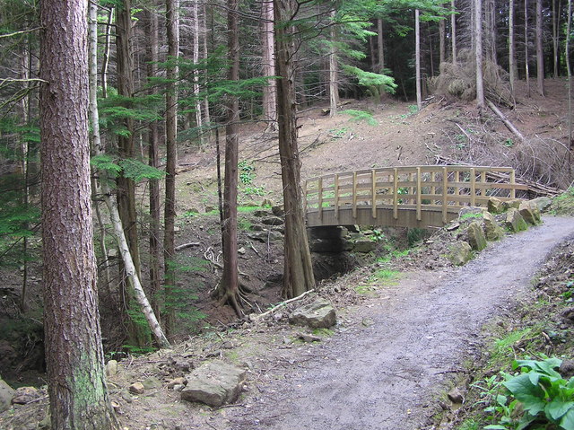
Bedburn Beck is a 16.8 kilometres (10.4 mi) long, upper tributary of the River Wear in County Durham, England. The beck and its tributaries, including the Euden, Harthorpe and South Grain becks, have a catchment of 76 square kilometres (29 sq mi), much of which is covered by the coniferous Hamsterley Forest.
Course
Its headwaters rise on the high ground of Woodland Fell, where it is known as the Spurlswood Beck which flows in an easterly direction through a rocky gill of the same name. It then enters Hamsterley Forest, where it is joined by the Euden Beck and becomes known as the Bedburn Beck.
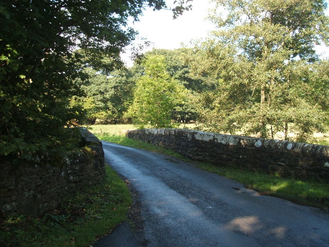
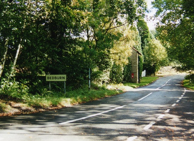
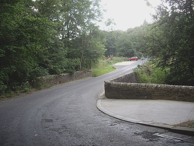
Passing beside the hamlet of Redford before being joined by the Ayhope or South Grain Beck, it then reaches the village of Bedburn where it is bridged by a minor road. Beyond the village it meets the Harthorpe Beck, before descending into the Wear valley between
Hamsterley and Witton-le-Wear.
Hydrology
The flow of the beck has been measured at a gauging station in its lower reaches at Bedburn since 1959. The catchment to the station of 75 square kilometres (29 sq mi) measures 99% of the total catchment of the beck, and yields an average flow of 1.23 cubic metres per second (43 cu ft/s).
The highest river level recorded at the station occurred on the 17 July 2009, with a height of 2.31 metres (7 ft 7 in) and a flow of 79 cubic metres per second (2,800 cu ft/s).
The catchment has an average annual rainfall of 894 millimetres (35.2 in) and a maximum altitude of 533 metres (1,749 ft) near Pawlaw Pike at the western edge of the basin.
Land use within the basin is rural, consisting of moorland, grassland and the coniferous Hamsterley Forest.
Visit the page: Bedburn Beck for references and further details. You can contribute to this article on Wikipedia.
Co-Curate Page
Bedburn
- Overview About Bedburn Map Street View Bedburn is a village in County Durham, in England. It is situated in the civil parish of South Bedburn, near Hamsterley, and Hamsterley …

Co-Curate Page
Bedburn
- Overview About Bedburn Map Street View Bedburn is a village in County Durham, in England. It is situated in the civil parish of South Bedburn, near Hamsterley, and Hamsterley …