Topics > Bailey
Bailey
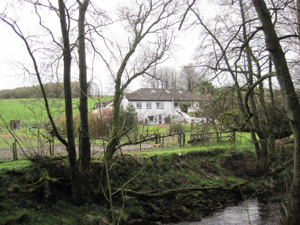
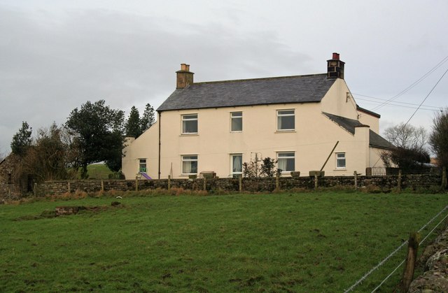
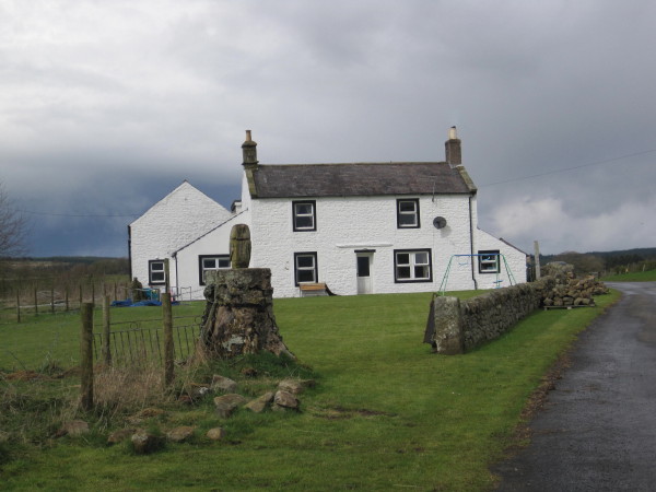
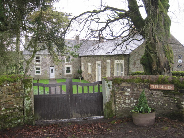
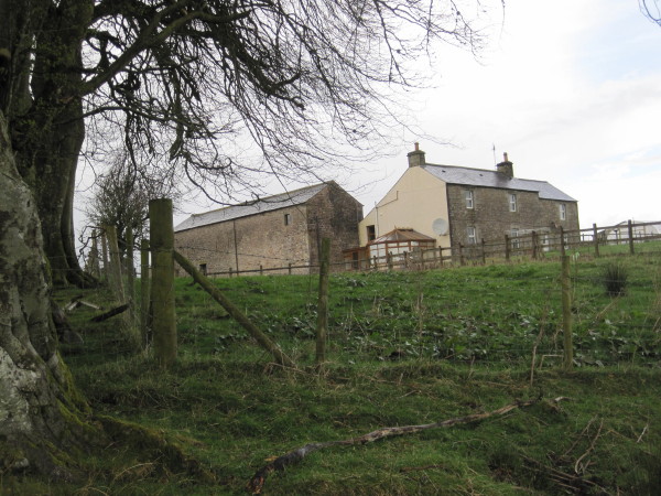
Bailey is an area in the north-east of Cumbria, around the valley of Bailey Water, extending up to the border with Scotland. Historically, Bailey (aka Bailie) was a township in the ancient parish of Bewcastle in Cumberland. It is a distributed community spread over several hamlets and farms, including Bailey Mill and Bailey Head - which form part of Bewcastle Civil Parish.
BAILIE, a township, in the parish of Bewcastle, union of Longtown, Eskdale ward, E. division of Cumberland, 5 miles (E.N.E.) from Longtown; containing 431 inhabitants. The scenery is of a romantic description, and there is a long range of lofty crags, which extends to the point where the kingdom of Scotland and the counties of Cumberland and Northumberland meet.
Extract from: A Topographical Dictionary of England comprising the several counties, cities, boroughs, corporate and market towns, parishes, and townships..... 7th Edition, by Samuel Lewis, London, 1848.
Co-Curate Page
Bailey Water
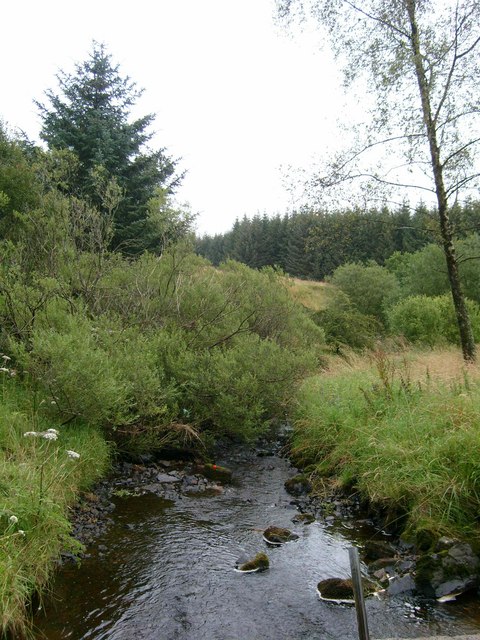
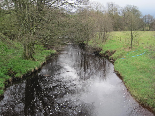
- Bailey Water is a small river in the north-east of Cumbria, which is a tributary of the Black Lyne. Bailey Water is aproximately 13 km long and has a catchment …

Co-Curate Page
Bailey Water
- Bailey Water is a small river in the north-east of Cumbria, which is a tributary of the Black Lyne. Bailey Water is aproximately 13 km long and has a catchment …


