Topics > Cumbria > Ashgill, Cumbria
Ashgill, Cumbria
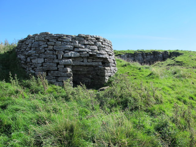
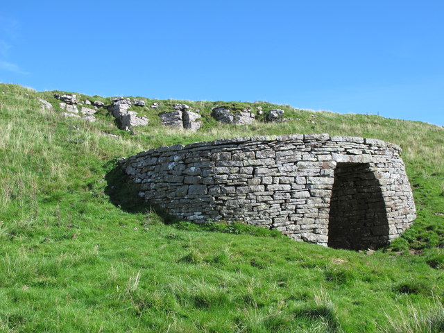
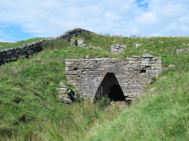
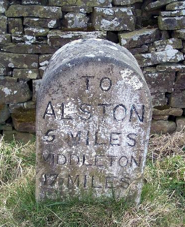
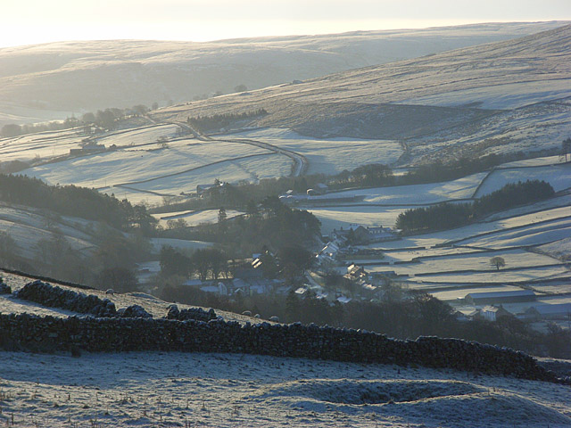
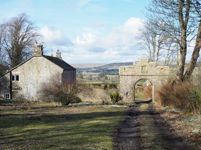
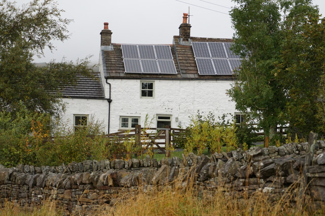
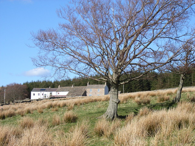
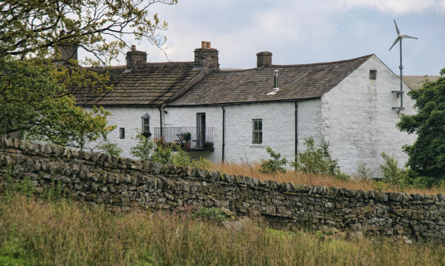
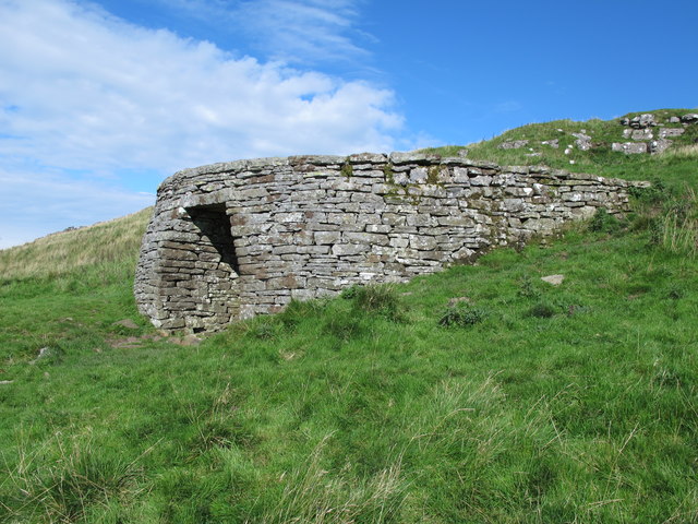
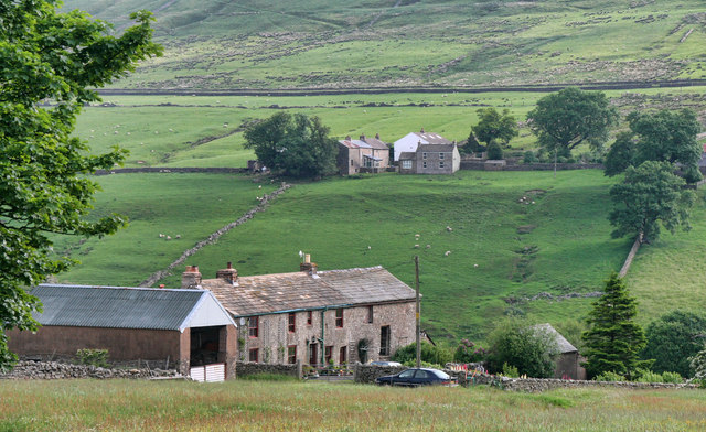
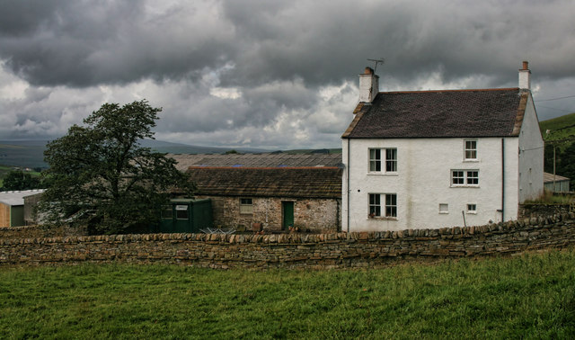
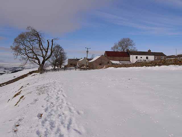
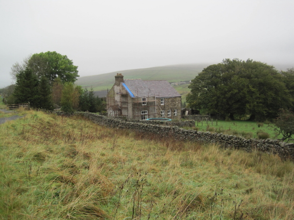
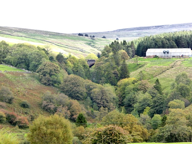
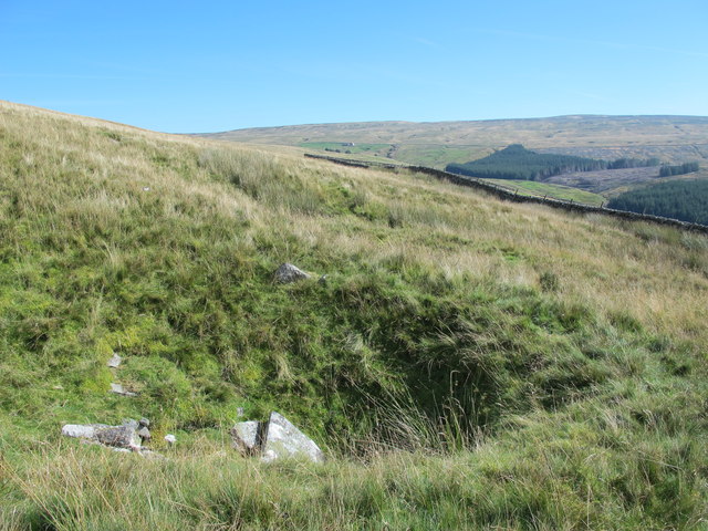
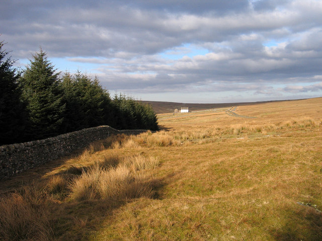
Ashgill is an area located about 1 mile south east of the village of Garrigill in the Eden District of Cumbria. There are isolated farms/houses in the area, including Low Ashgill, Mid Ashgill, High Ashgill, Old Ashgill, West Ashgill and Ashgillside. The area is situated by Ash Gill, a large stream, which joins the River South Tyne. Ashgill Bridge here carries the B6277 road over Ash Gill, by Ashgill Force (waterfall). An old milestone by the roadside relates back to when this was a turnpike road. As well as former lead mines, there are several disused quarries and lime kilns in the area. There are also clusters of shake holes (depressions usually formed when surface water washes boulder clay down into cracks in limestone). The Ashgill area is within Alston Moor Civil Parish.
Co-Curate Page
Ash Gill
- Ash Gill is a small river in Cumbria, which is a tributary of the River South Tyne. Ash Gill joins the South Tyne to the south of Garrigill. Ashgill Bridge …
Co-Curate Page
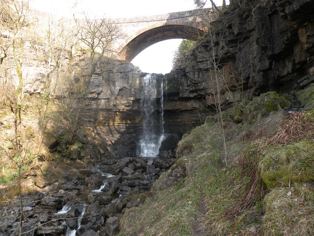
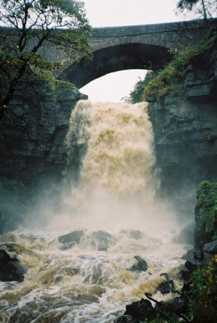
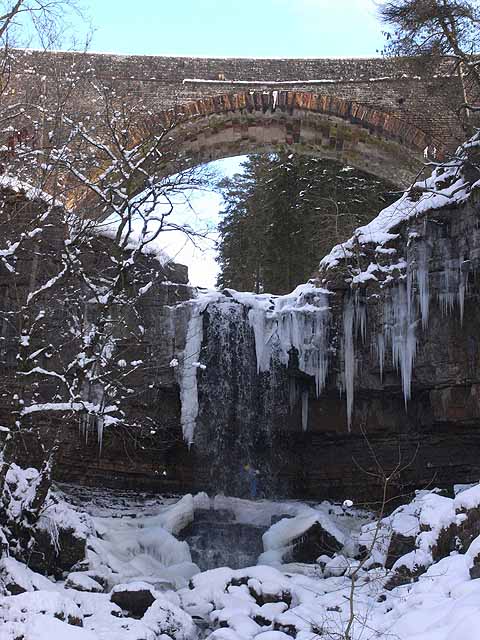
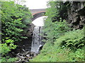
Ashgill Bridge over Ashgill Force
- Overview Map Street View Ashgill Bridge carries the B6277 road over Ash Gill, by Ashgill Force Waterfall, about 1 mile south-east of Garrigill. A plaque on the bridge notes that …

Co-Curate Page
Ash Gill
- Ash Gill is a small river in Cumbria, which is a tributary of the River South Tyne. Ash Gill joins the South Tyne to the south of Garrigill. Ashgill Bridge …
Co-Curate Page
Ashgill Bridge over Ashgill Force
- Overview Map Street View Ashgill Bridge carries the B6277 road over Ash Gill, by Ashgill Force Waterfall, about 1 mile south-east of Garrigill. A plaque on the bridge notes that …