Topics > Tees Valley > Middlesbrough > Albert Park and Linthorpe Road Conservation Area
Albert Park and Linthorpe Road Conservation Area
%
Note: Map data from Middlesbrough Council c/o Open Data UK, under the Open Government Licence, imported into Google MyMaps, February 2026. Check with Middlesbrough Council for amendments and updates.
Co-Curate Page
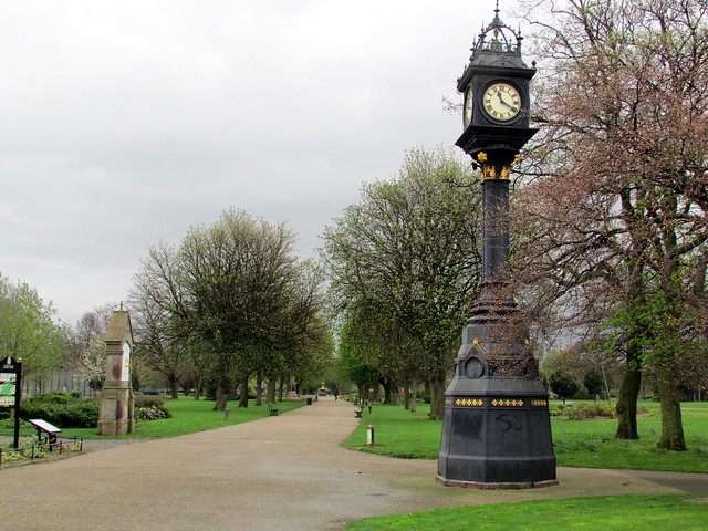
Albert Park
- Summary About Albert Park Map "A public park designed by William Barratt of Wakefield and opened 11th August 1868, with war memorial entrance screen walls and a cenotaph of 1922...The idea …
Co-Curate Page
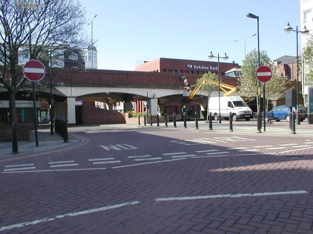
Linthorpe Road
- Linthorpe Road runs for approximately 1.3 miles from the town centre in Middlesbrough heading south to Linthorpe, where it becomes The Avenue. The first section of Linthrope road is pedestrianised …

Co-Curate Page
Albert Park
- Summary About Albert Park Map "A public park designed by William Barratt of Wakefield and opened 11th August 1868, with war memorial entrance screen walls and a cenotaph of 1922...The idea …