Topics > Historical Periods > 19th Century > 1850s > 1853
1853
In Northern England:
- 1853: Fulwell Pumping Station was built to supply water to the area.
- 1853: The Blyth & Tyne Railway was established.
from Newcastle libraries (flickr)
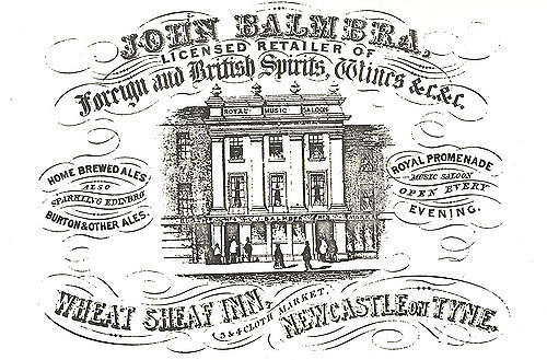
011987:Wheat Sheaf Inn 3 - 4 Cloth Market 1853
Pinned by Simon Cotterill

from Flickr (flickr)
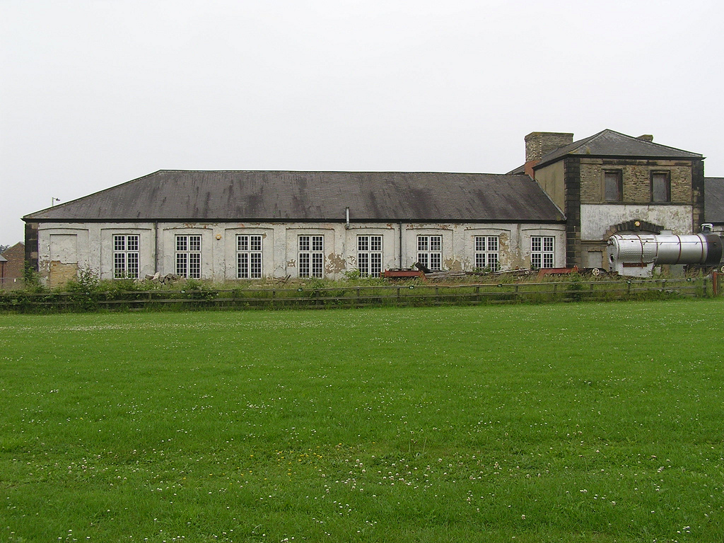
Hopetown Carriage Works, Darlington 30.06.2009 P6300124
Pinned by Simon Cotterill
from Flickr (flickr)
Hopetown Carriage Works seen from main entrance side, Darlington 30.06.2009 P6300106
Pinned by Simon Cotterill
Co-Curate Page
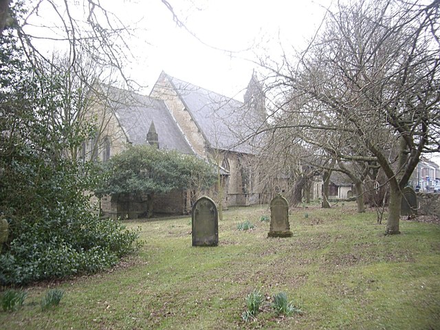
Church of St. Mary, Whorlton
- Overview Map St. Mary's Church in Whorlton, County Durham, is now part of the combined parish of Barnard Castle with Whorlton. The Norman chapel which originally stood on this site …
Co-Curate Page
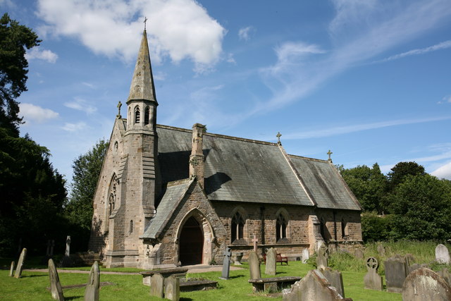
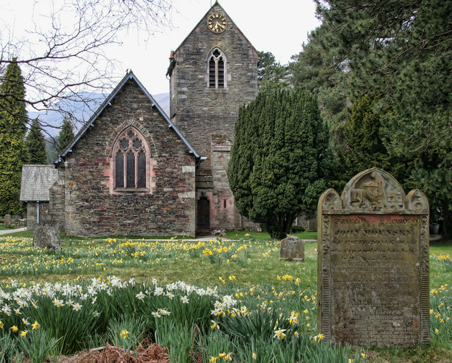
Church of St Luke
- Overview Map Street View St. Luke's Church is located on Church Lane in Ferryhill. The Early English-style Parish church, by George Pickering, was consecrated in September 1853; it replaced an …
Co-Curate Page
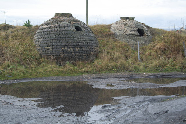
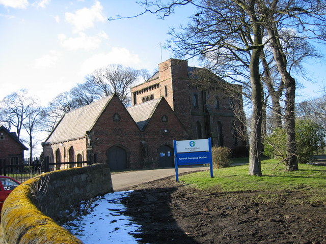
Fulwell Pumping Station
- Overview Map Fulwell Pumping Station was built in 1853, designed by Thomas Hawksley. The water pumping station is located to the north of Fulwell, near Cut Throat Dean, which marks …

Co-Curate Page
Blyth and Tyne Railway
- Overview About the Blyth & Tyne Railway The Blyth & Tyne Railway was formed in 1853 to amalgamate several private railways and waggonways that had developed to carry coal from …
Co-Curate Page
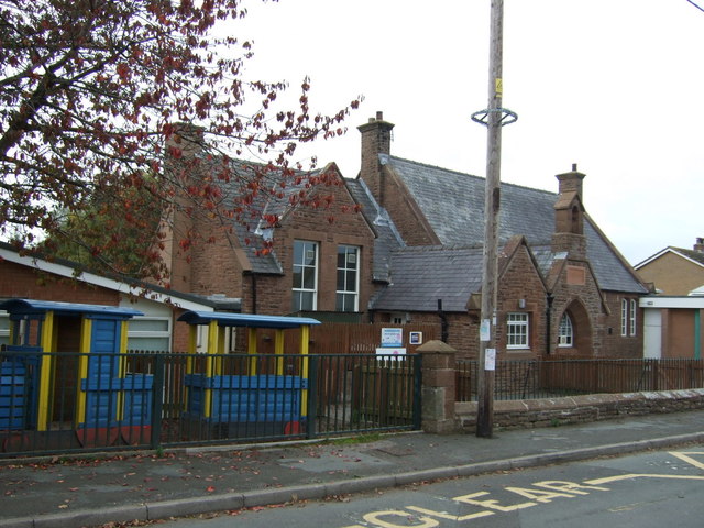
Acklington First School (1853 - 2018)
- Overview Map Street View A National School was established in Acklington in 1853. This went on to be Acklington Church of England First School. The school was closed on the …
Co-Curate Page
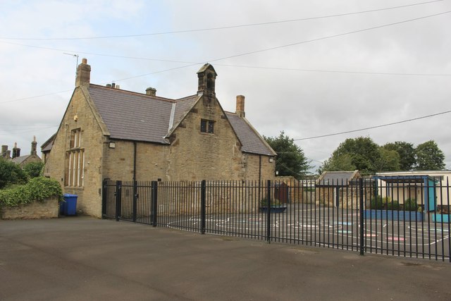
High Hesket CE Primary School
- Overview Map Street View High Hesket Church of England School is a voluntary controlled school in High Hesket. The school has about 170 pupils aged 3 to 11. The current …
Co-Curate Page
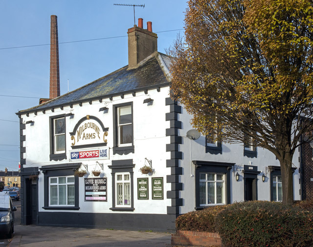
Milbourne Arms, Denton Holme
- Overview Map Street View The Milbourne Arms is a public house located at the south end of Milbourne Street by Junction Street, in Denton Holme, Carlisle. It was built 1852-1853.[1] …

from Newcastle libraries (flickr)
011987:Wheat Sheaf Inn 3 - 4 Cloth Market 1853
Pinned by Simon Cotterill
from Flickr (flickr)
Hopetown Carriage Works, Darlington 30.06.2009 P6300124
Pinned by Simon Cotterill
from Flickr (flickr)
Hopetown Carriage Works seen from main entrance side, Darlington 30.06.2009 P6300106
Pinned by Simon Cotterill
Co-Curate Page
Church of St. Mary, Whorlton
- Overview Map St. Mary's Church in Whorlton, County Durham, is now part of the combined parish of Barnard Castle with Whorlton. The Norman chapel which originally stood on this site …
Co-Curate Page
Church of St Luke
- Overview Map Street View St. Luke's Church is located on Church Lane in Ferryhill. The Early English-style Parish church, by George Pickering, was consecrated in September 1853; it replaced an …
Co-Curate Page
Fulwell Pumping Station
- Overview Map Fulwell Pumping Station was built in 1853, designed by Thomas Hawksley. The water pumping station is located to the north of Fulwell, near Cut Throat Dean, which marks …
Co-Curate Page
Blyth and Tyne Railway
- Overview About the Blyth & Tyne Railway The Blyth & Tyne Railway was formed in 1853 to amalgamate several private railways and waggonways that had developed to carry coal from …
Co-Curate Page
Acklington First School (1853 - 2018)
- Overview Map Street View A National School was established in Acklington in 1853. This went on to be Acklington Church of England First School. The school was closed on the …
Co-Curate Page
High Hesket CE Primary School
- Overview Map Street View High Hesket Church of England School is a voluntary controlled school in High Hesket. The school has about 170 pupils aged 3 to 11. The current …