Topics > Northumberland > Wingates > Wingates Township, 1848
Wingates Township, 1848
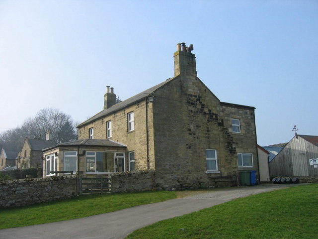
WINGATES, a township, in the parish of Long Horsley, union of Rothbury, W. division of the ward of Morpeth, N. division of Northumberland, 6 miles (S.E. by S.) from Rothbury; containing 175 inhabitants. This place was anciently part of the possessions of Gospatrick, Earl of Durham, from whom it passed to the families of Merlay, Sommerville, and Thornton; it is now the property of R. Trevelyan and H. P. M. Witham, Esqrs. The land, with the exception of that near the village, is of very indifferent quality, a poor thin soil resting upon a retentive clay, and altogether unsheltered by woods or plantations; the substratum contains ironstone, which appears to have been formerly wrought, and there are seams of coal and limestone in operation to a limited extent. The village is situated on elevated ground, and consists chiefly of two farmhouses, and some low thatched cottages extending from east to west. About a mile north of it is a mineral spring, discovered about 60 or 70 years' since, which, on being analysed, was found to contain in one pint, 6 grains of pure sal martis, 15 of alum, and 9 of ochreous earth. The late Walter Trevelyan, Esq., soon after its discovery, erected a large bath of stone, and conveyed to it the water from the spring, for the use of invalids affected with scrofula, other cutaneous eruptions, and debility, in the cure of which it was found powerfully efficacious, either when taken internally or used for bathing. The present proprietors, also, have raised plantations, and ornamented the grounds surrounding the baths, which have been inclosed; but the want of lodging-houses confines the benefits of the water to the inhabitants of the immediate neighbourhood.
Extract from: A Topographical Dictionary of England comprising the several counties, cities, boroughs, corporate and market towns, parishes, and townships..... 7th Edition, by Samuel Lewis, London, 1848.

from https://openlibrary.org/books…
A topographical dictionary of England, Samuel Lewis, 7th Ed., 1848
- A topographical dictionary of England
comprising the several counties, cities, boroughs, corporate and market towns, parishes, and townships, and the islands of Guernsey, Jersey, and Man, with historical and statistical …
Added by
Simon Cotterill