Topics > Northumberland > Widdrington Station
Widdrington Station
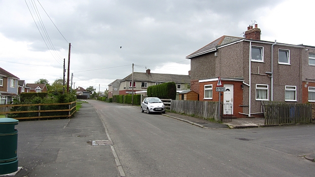
Widdrington Station and Stobswood is a village and civil parish in the county of Northumberland, England. It has 2,767 residents (as at 2011) and is 5.8 miles NNE of Morpeth.
History
Etymology
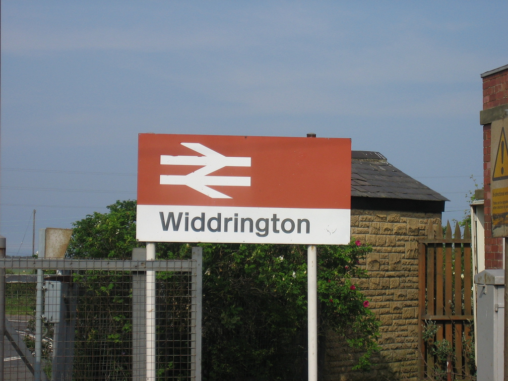
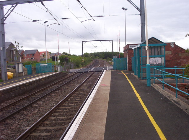
As the name suggests, Widdrington Station has a railway station. This is on the East Coast Main Line.
Early history
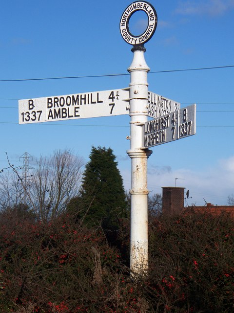
Widdrington Station has its original village settlement, Widdrington Village, to the northeast beside the A1065, with one close-knit residential side-street hilly lane, a pub, farm shop, and the parish church that is Grade I listed and dates to the Norman era commanded by elevated ruins of a modest 18th-century castle, Widdrington Castle, a Scheduled Ancient Monument.
This place was long the seat and chiefly the estate of the Widdrington family, many of whom at various periods greatly distinguished themselves against the Scots, and on other occasions. Sir William Widdrington, in 1642 was expelled from the House of Commons for raising forces in defence of Charles I, who elevated him to Baron Widdrington; after the Battle of Marston Moor, he left the kingdom, when his estates were confiscated by parliament, but returning in the service of Charles II, he was slain at a reinvigorated Royalist battle in Wigan. William, the 4th Lord, was attainted in 1715 for his part in the rebellion of that year, and his property, some £100,000, was sold to all willing bidders; thus consummating the downfall of a family that had flourished during a space of seven centuries. The ancient castle, which stood in a noble park of 600 acres, was razed to the ground about 60 years after this, and a newer edifice, in 1848, much out of repair and uninhabited, was demolished in 1862.
The parish seceded from the parish of Woodhorn and was only invested with distinct parochial rights in 1768.
1768-date
The church was repaired by Sir George Warren, in 1768, and comprises a nave, chancel, and south aisle; the chancel has an oratory or chantry porch projecting from it on the south, lit by two windows. There followed another 'nonconformist' place of worship that is now the United Reformed Church. William Mitford of Bullocks Hall was buried in 1783 in the churchyard with an ornate, listed headstone with foliage, a cherub and pilasters. Beside this are six table mausoleums, a headstone with shaped moulded top with sunk quatrefoil and inscription to George Craister 'of Woddrington dog kennel', c.1781 and another that has shaped top and well-cut inscription to William Taylor of Druridge of 1779.
In 1843, a skeleton with the teeth intact and an urn were found in ploughing a field, at which time there were 447 inhabitants based on the research assembled by Samuel Lewis based on the 1841 census.
In 1848 the whole village chiefly belonged to Lord Vernon, and comprised 4902a. 1r. 30p., mostly tithe-free, and of which a fifth was pasture. The benefice is a perpetual curacy, which was in the mid-19th century in the gift of Lord Vernon (who could appoint the vicar).
Landmarks
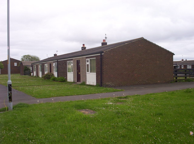
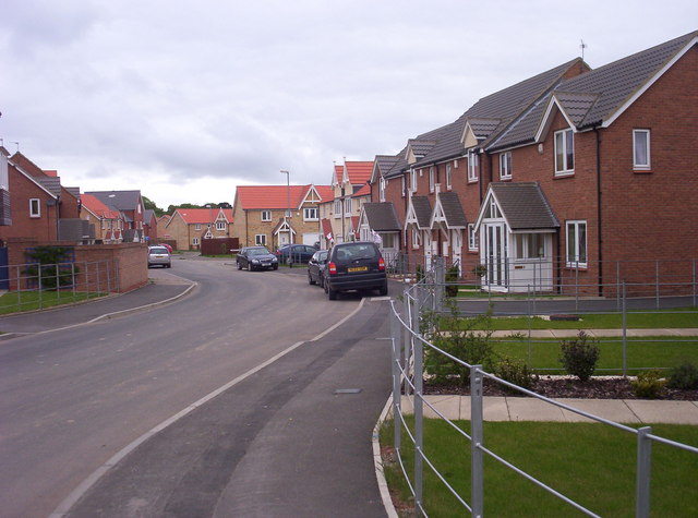
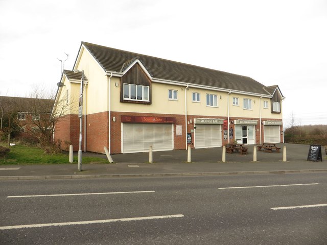
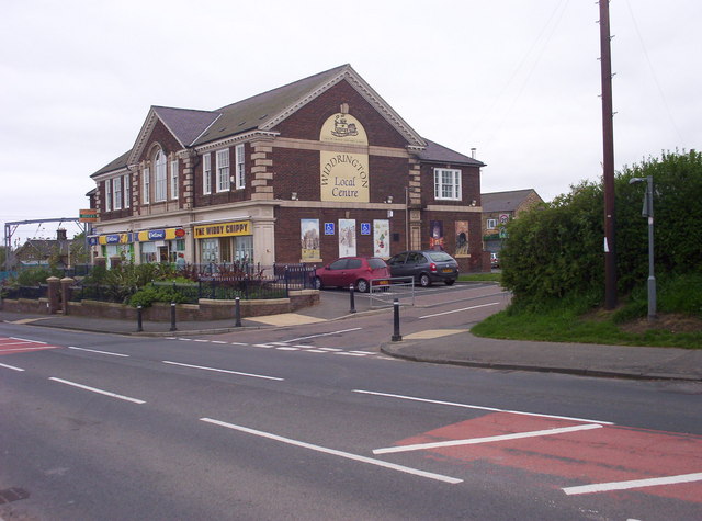
Widdrington Station has four food premises including The Junction restaurant and Sidings Bar which includes in its menu items a traditional speciality dish that is local to the region, beer battered black pudding. The village has its own library, medical centre and a modern mini-supermarket, which is a Co-op.
Holy Trinity Church
Aside from much of the core dating to the 12th century, the vestry has re-set medieval door to the north with a pointed chamfered arch, and 13th century cross slab as a lintel.
Inside are a two-bay north arcade that has pointed double-chamfered arches, hooded towards nave, on a round pier; a moulded capital pillar with a square abacus: a three-bay arcade on south with octagonal piers. Chancel arch and arch dividing south aisle from chapel also spring from the eastern pier. There is a cut-back stoup by one door and a hollow-chamfered font in the south chapel. The chancel has a Victorian arch to its organ chamber and a moulded sill string on east, stepped down at south end. Sill of south window lowered to form sedilia with integral shelf and pillar piscina, with a trefoiled hollow-chamfered arch, shelf and lockers. Two tomb recesses on north have keeled mouldings and moulded hoods: the eastern has a pointed arch with Widdrington arms at the apex, the western has a lower segmental arch and a small cross slab set into its sill.
The impropriation of tithes before commutation belonged to the Mercers' Company and the incumbent priest of Hampstead. The chapel had parochial limits as early as 1307 and was originally dedicated to St. Edmund; at the Dissolution it became Holy Trinity chapel, from which period it continued to be dependent on Woodhorn until 1768.
Geography
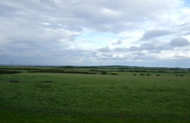
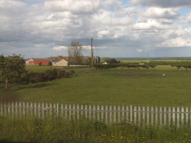
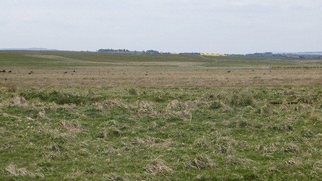
The soil is a strong clay, producing fine crops of wheat and beans, and the surface is generally level, rising more steeply to 70 metres AOD to the far west of the parish and with a gentle elevation towards the old village, which commands extensive views in every direction, and the area around which formerly abounded in wood. On the horizon from here is the sea. Fields are extensively farmed, some of which are pasture, and the railway line is used here to carry coal towards Cambois with its alumina plant and there are remains to the west of a quarry of freestone, active in 1848. The population is spread over a large area with a density of approximately 0.7 persons per hectare which is average across the entire region.
Education
Widdrington's educational provision includes a state-assisted first school, voluntary controlled by the local Church of England ecclesiastical parish, supported by the Diocese.
Localities
Stobswood
Included in the parish name and boundaries is the neighbourhood of Stobswood, 300 metres north-west, across the green buffer of Grange Wood. Stobswood has a population of around 120. The majority of the housing in Stobswood was built in support of the railway and the defunct brickworks that previously operated just to the east of the railway line.
Local Government
Widdrington Station and Stobswood lie within the Ulgham ward of the county-wide unitary county, Northumberland. Its county councillor is Cllr David J. Towns (Conservative) and the villages fall within the Druridge Bay Community Forum and the Northern Area Committee jurisdictions of the Council.
Transport
;Roads
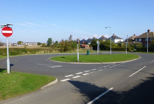
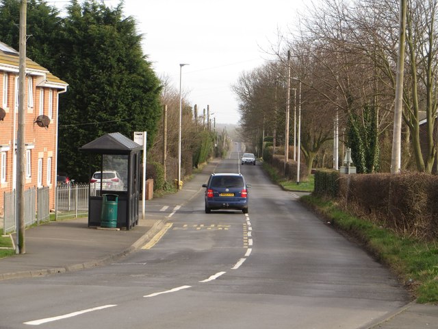
west of the station at the village centre is the A1, at a higher elevation throughout, and east of the station is the A1068 about one third of the distance between Druridge Bay and the village centre. Both are north-south routes, with the dualled route heading north being the A1.
;Trains
A morning and evening train stops in each direction allowing commuting if working relatively long days to Morpeth or Newcastle with a journey time respectively of: 9 minutes and 31–35 minutes.
;Buses
An express bus route, the X18 connects to the town centres of Newcastle, Morpeth to the south via the village to four to the north: Amble, Walkworth, Alnmouth, Alnwick.
Other bus routes are the:
All three are operated by Arriva.
Notable people
- Anne Hepple Dickinson (1877–1959), writer, born at Widdrington
- Second Lieutenant James Bulmer Johnson, VC (1889–1943), British Army officer and recipient of the Victoria Cross
- Bob Morton (1906–1990), English footballer, born at Widdrington
Visit the page: Widdrington Station and Stobswood for references and further details. You can contribute to this article on Wikipedia.
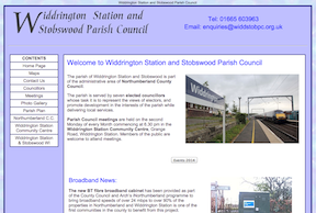
from http://www.widdstobpc.org.uk/
Widdrington Station and Stobswood Parish Council
Added by
Simon Cotterill

from http://www.widdringtoncommuni…
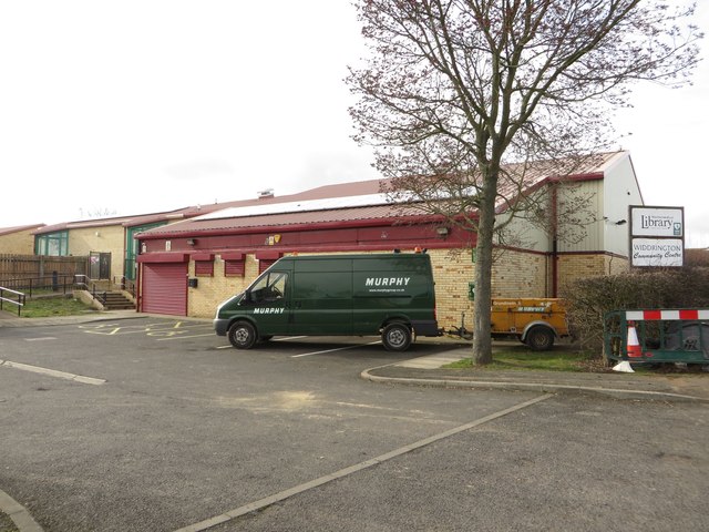
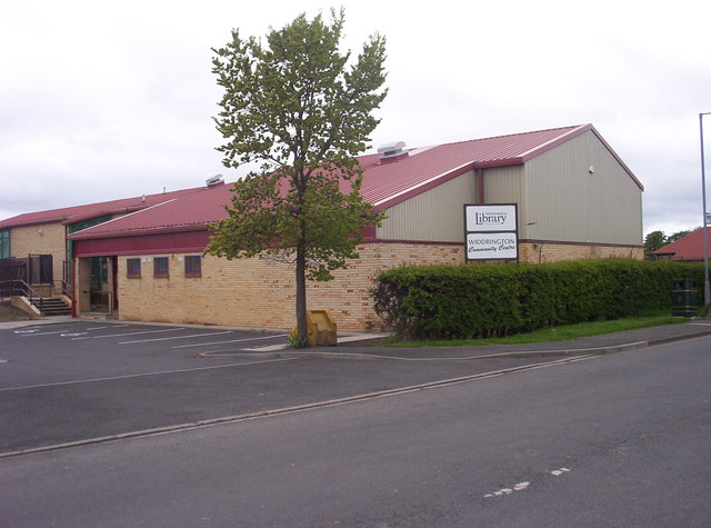
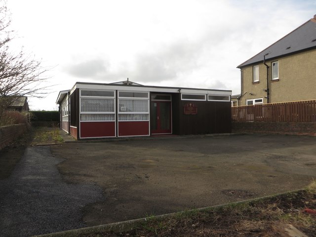
Widdrington Community Centre
- "Widdrington Community Centre located in the village of Widdrington Station near Morpeth. Situated in the heart of the village is the Community Centre which is available for hire seven days …
Added by
Simon Cotterill
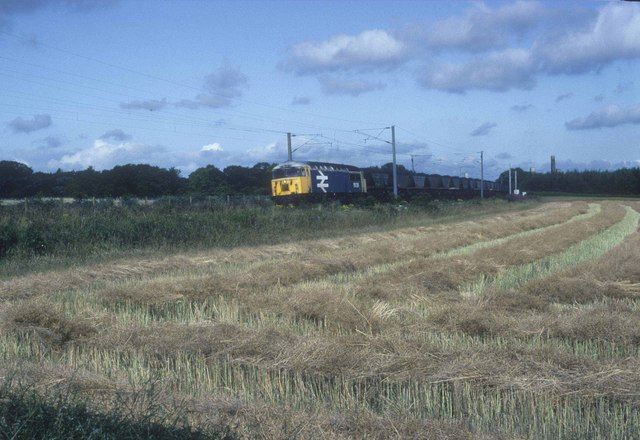
from Geograph (geograph)
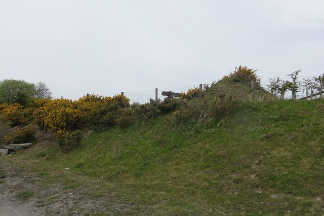
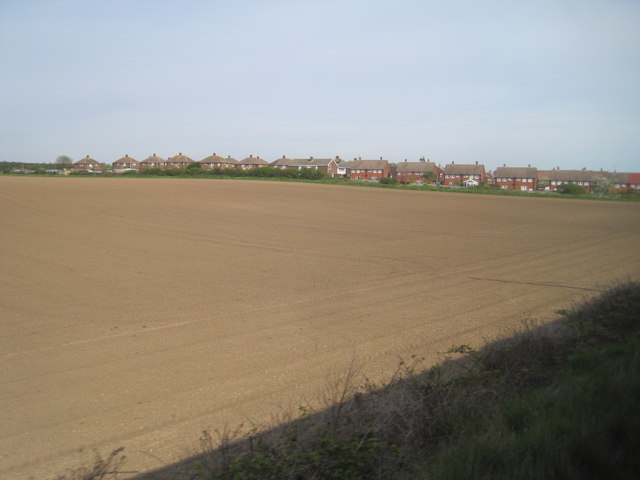
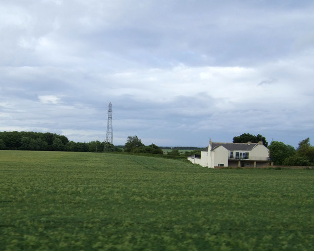
View from a Newcastle-Edinburgh train - edge of Widdrington
Pinned by Simon Cotterill
from Geograph (geograph)
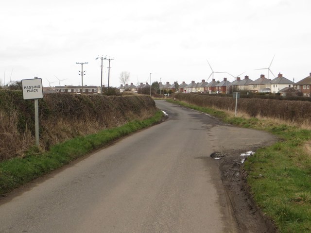
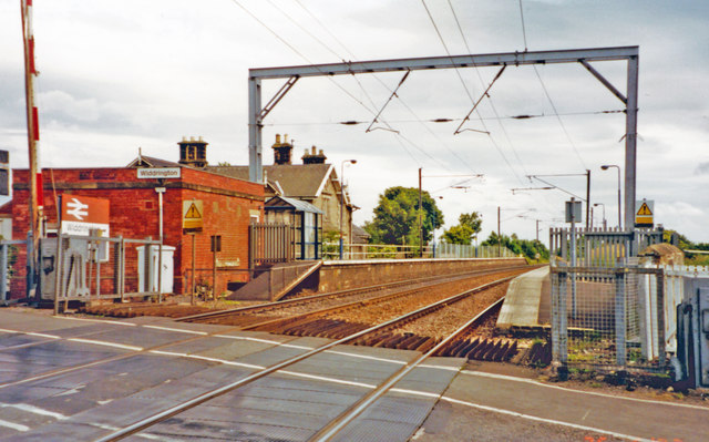
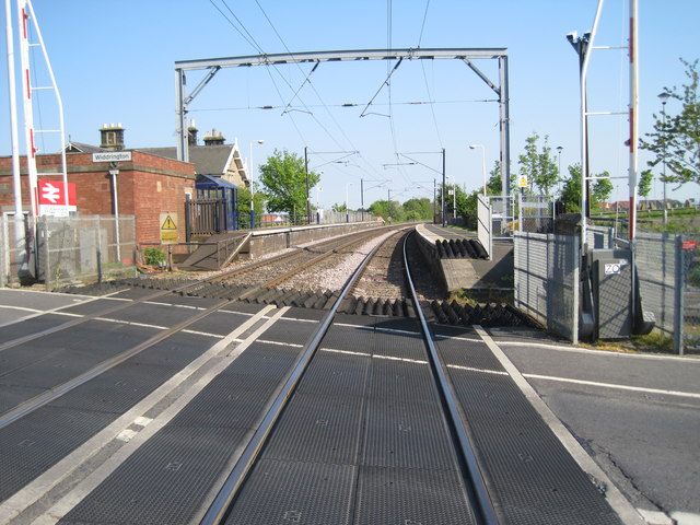
Level Crossing at Widdrington Station, Northumberland
Pinned by Simon Cotterill

Co-Curate Page
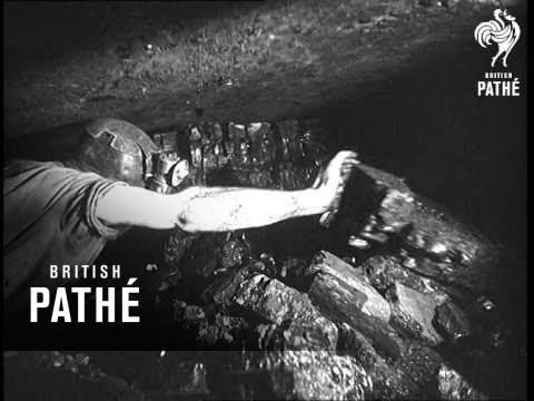
Stobswood Open Cast Mine
- Stobswood Opencast Mine was located to the south-east of Widrington Station and Stobswood in Northumberland. The opencast mine opened in 1990 and closed in c.2005. During it's operation the mine produced 13.7 …
from Flickr (flickr)
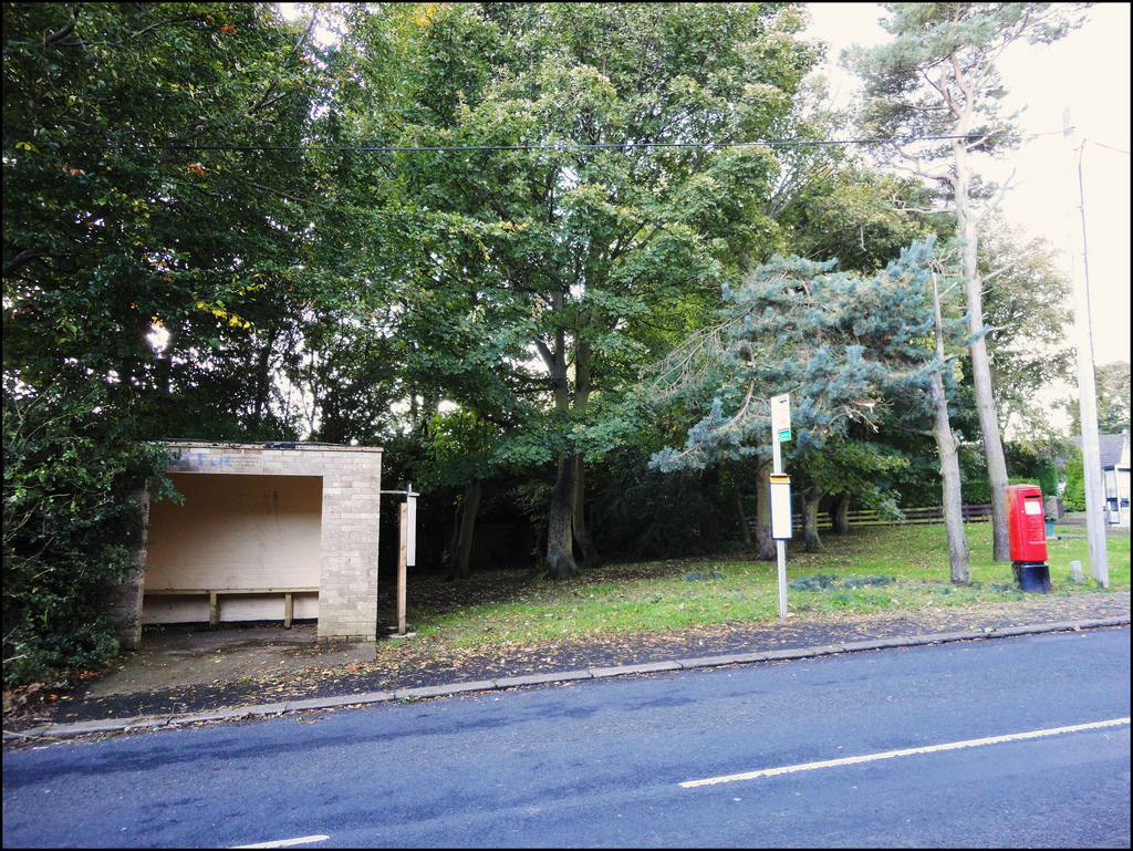
When the weather is bad the postbox is able to take shelter - Widdrington Station, Northumberland.
Pinned by Simon Cotterill

from http://www.widdstobpc.org.uk/
Widdrington Station and Stobswood Parish Council
Added by
Simon Cotterill
from http://www.widdringtoncommuni…
Widdrington Community Centre
- "Widdrington Community Centre located in the village of Widdrington Station near Morpeth. Situated in the heart of the village is the Community Centre which is available for hire seven days …
Added by
Simon Cotterill
from Geograph (geograph)
View from a Newcastle-Edinburgh train - edge of Widdrington
Pinned by Simon Cotterill
from Geograph (geograph)
Level Crossing at Widdrington Station, Northumberland
Pinned by Simon Cotterill
Co-Curate Page
Stobswood Open Cast Mine
- Stobswood Opencast Mine was located to the south-east of Widrington Station and Stobswood in Northumberland. The opencast mine opened in 1990 and closed in c.2005. During it's operation the mine produced 13.7 …
from Flickr (flickr)
When the weather is bad the postbox is able to take shelter - Widdrington Station, Northumberland.
Pinned by Simon Cotterill