Topics > Northumberland > Whitelee (Byrness)

Whitelee (Byrness)


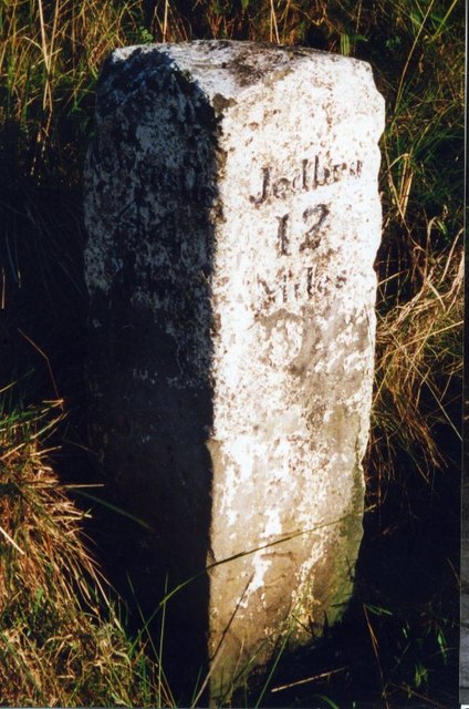
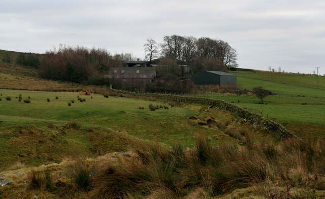
Whitelee is a farm / hamlet in Northumberland, located about 1½ miles south-east of Carter Bar on the England-Scotland border, and 3½ miles north-west of Byrness Village. The farm is situated by Lumsden Burn, near it's confluence with the River Rede. To the south of the farm is Whitelee Moor National Nature Reserve.

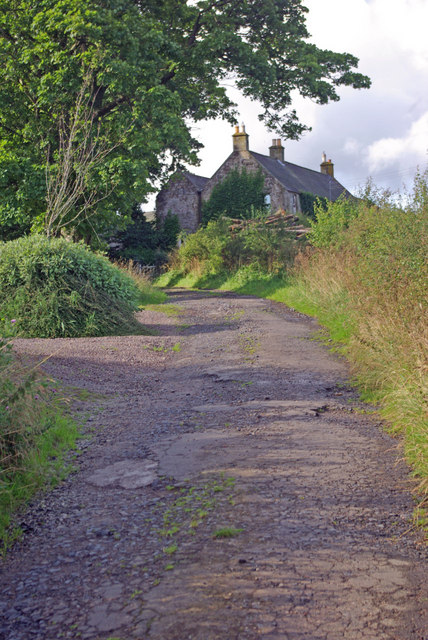
Access road to Whitelee Farm off the A68

Northumberland Lumsdon Burn Rochester and Byrness Civil Parish Whitelee Bridge
from Geograph (geograph)
Whitelee

Pinned by Simon Cotterill
from Geograph (geograph)
Holiday cottages, Whitelee Farm

Pinned by Simon Cotterill
from Geograph (geograph)
Farm road leading to Whitelee Farm off the A68

Pinned by Simon Cotterill
from Geograph (geograph)
Barn and Footbridge by the River Rede

Pinned by Simon Cotterill
from Geograph (geograph)
The Northumberland Wildlife Trust's barn

Pinned by Simon Cotterill

Comments

Add a comment or share a memory.

Login to add a comment. Sign-up if you don't already have an account.


ABOUT US

Co-Curate is a project which brings together online collections, museums, universities, schools and community groups to make and re-make stories and images from North East England and Cumbria. Co-Curate is a trans-disciplinary project that will open up 'official' museum and 'un-officia'l co-created community-based collections and archives through innovative collaborative approaches using social media and open archives/data.

LATEST SHARED RESOURCES