Topics > Cumbria > Whicham > Whicham Parish, 1848
Whicham Parish, 1848
Extract from: A Topographical Dictionary of England comprising the several counties, cities, boroughs, corporate and market towns, parishes, and townships..... 7th Edition, by Samuel Lewis, London, 1848.
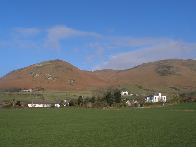
WHICHAM (St. Mary), a parish, in the union of Bootle, Allerdale ward above Derwent, W. division of Cumberland, 10 miles (S.S.E.) from Ravenglass; containing 299 inhabitants. It comprises by admeasurement 6,970 acres, of which 2,463 are arable, 7 woodland, and about 4,500 common and waste; the soil is various, the surface mountainous. The substratum contains ironore, and cobalt is found in the Black-Combe mountain. The Whitehaven and Furness Junction railway passes through the parish. The living is a rectory, valued in the king's books at £8. 15., and in the gift of the Earl of Lonsdale: the tithes have been commuted for £160, and the glebe comprises 75 acres, with a house. The church is a plain building. An annuity of £16, supposed to have been granted by Queen Elizabeth from the crown revenues in the county, and payable out of the exchequer, is applied towards the support of a grammar school at Churchgate. In the mountain is a cavity similar to the crater of a volcano, several hundred yards in diameter and depth; the inside is lined with vitrified and crystallized matter, having at the bottom a fine spring of water.