Topics > Tyne and Wear > Newcastle upon Tyne > Westerhope
Westerhope
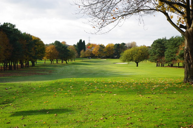
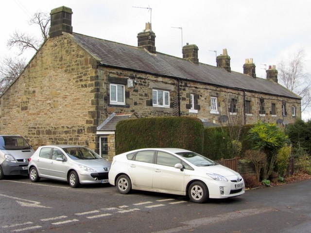
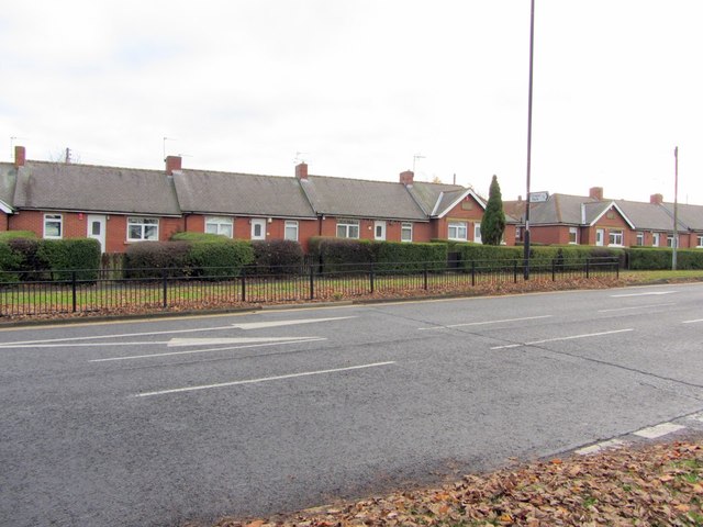
Westerhope is a ward to the west of Newcastle upon Tyne, England (from which it takes its name). It was founded to provide housing for working families with sufficient land to grow vegetables. Westerhope expanded substantially in Victorian times with the discovery of workable coal reserves. This ward had a population of 9,196 at the 2011 Census.
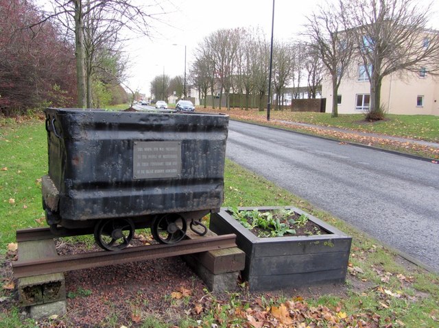
The coal reserves have now been largely exhausted and the two pits - Coronation & North Walbottle - have long since closed. After the extraction of 21.5 million tons of coal, the North Walbottle pit was closed in 1968 as further coal extraction would have risked undermining the runway of Newcastle airport, which lies about 5 miles to the North.
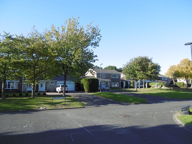
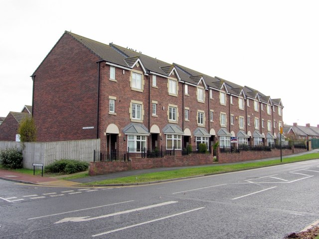
With the westward expansion of Newcastle upon Tyne, Westerhope was incorporated into the city as part of the 1973 local government reorganisation. This coincided with large owner-occupied housing estates - Chapel House, Chapel Park, St John's - being developed on the west of Westerhope. At one time these were claimed to be the largest such developments in Europe, although the source of such claims is unclear. Additionally a substantial social housing development, Newbiggin Hall Estate was built at around the same time to the North of the village.
Due to road developments, Westerhope lies in a favourable transport location, in the crook of the A1/A69 junction. This gives good communications to the West, North & South. In contrast, because of the hilly nature of the land, Westerhope has been excluded from the Tyne and Wear Metro system and public transport links to the city centre rely on buses. Additionally, a dual carriageway links the north side of the village to the airport.
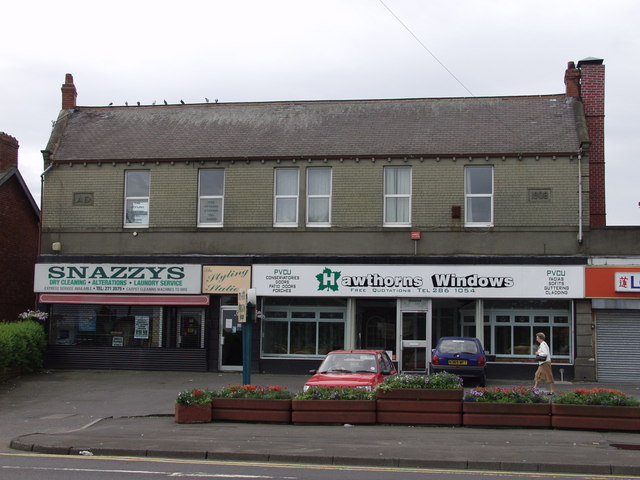
Westerhope is now largely a dormitory to Newcastle city, although some light industry exists around the Cobblers Corner area, which is the historic core of the village.
Visit the page: Westerhope for references and further details. You can contribute to this article on Wikipedia.
from Newcastle libraries (flickr)
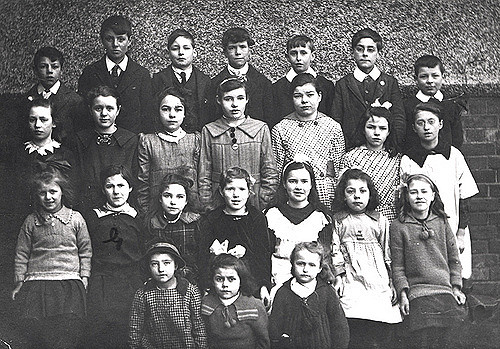
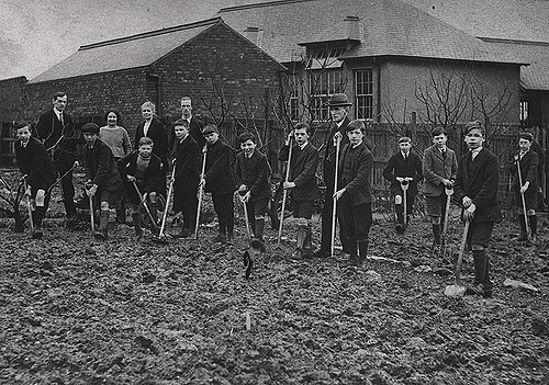
023162:Westerhope School Westerhope Unknown 1921
Pinned by Simon Cotterill
from Newcastle libraries (flickr)
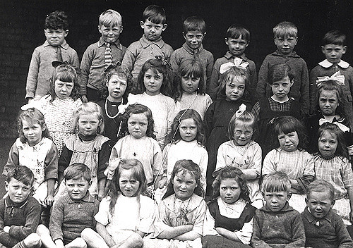
023158:Westerhope School Westerhope Unknown 1924
Pinned by Simon Cotterill
from Newcastle libraries (flickr)
23171a: Buxton Gardens, Westerhope, 1941
Pinned by Simon Cotterill
from Newcastle libraries (flickr)
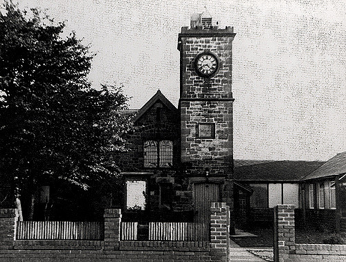
023205:Westerhope Methodist Church Westerhope Unknown 1948
Pinned by Simon Cotterill
from Newcastle libraries (flickr)
023206:Westerhope Methodist Church Westerhope Unknown c.1920
Pinned by Simon Cotterill
from Newcastle libraries (flickr)
023200:Westerhope School Westerhope Unknown 1923
Pinned by Simon Cotterill
from Newcastle libraries (flickr)
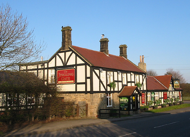
036787:The Jingling Gate Westerhope City Engineers 1977
Pinned by Simon Cotterill
from Newcastle libraries (flickr)
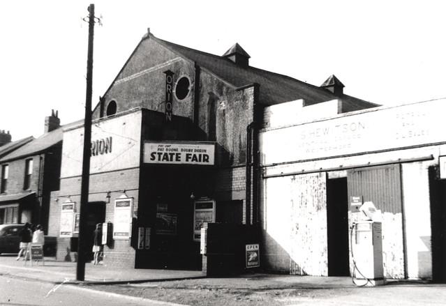
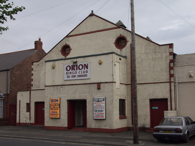
068892:Orion cinema Stamfordham Road Westerhope Unknown 1963
Pinned by Simon Cotterill
from Newcastle libraries (flickr)
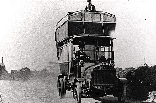
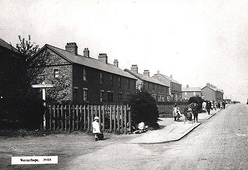
023192:North Avenue Westerhope Newcastle upon Tyne Unknown c.1907
Pinned by Simon Cotterill
from Newcastle libraries (flickr)
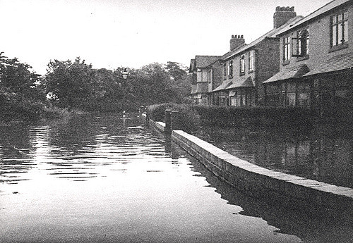
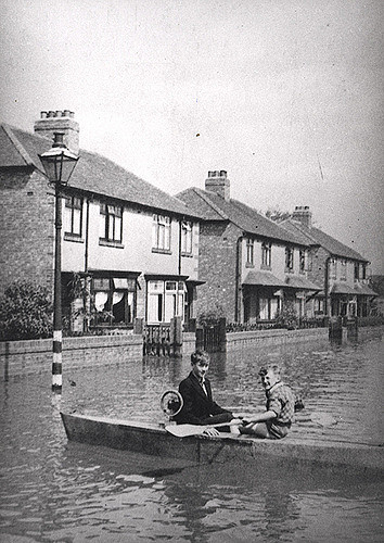
023172:Flooded Chatsworth Gardens Westerhope Unknown 1941
Pinned by Simon Cotterill
from Newcastle libraries (flickr)
062661:Lily Terrace Westerhope Dept of Environmental Health 1972
Pinned by Simon Cotterill
from Newcastle libraries (flickr)
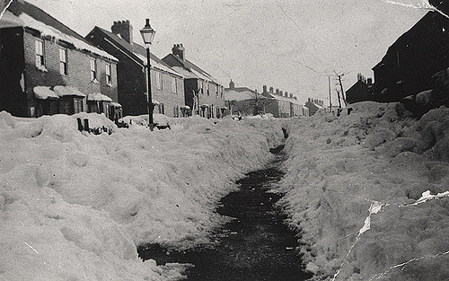
046924:Windsor Crescent Westerhope covered in snow Unknown 1947.
Pinned by Simon Cotterill
from Newcastle libraries (flickr)
023188:Wheatfield Road/Stamfordham Road Westerhope Unknown c.1920
Pinned by Simon Cotterill
from Newcastle libraries (flickr)
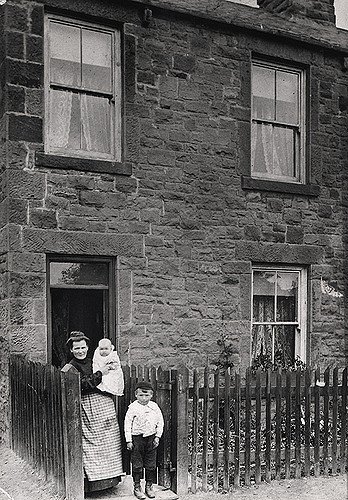
023169:West Avenue Westerhope Unknown c.1930
Pinned by Simon Cotterill
from Newcastle libraries (flickr)
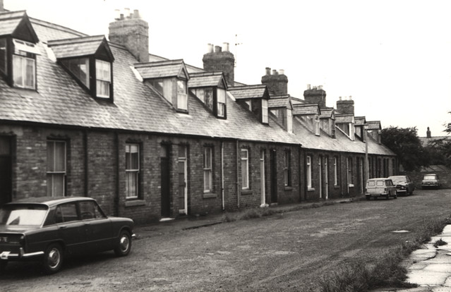
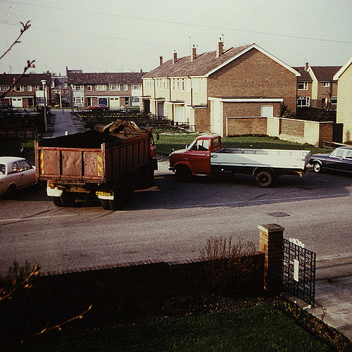
042757:West Avenue Westerhope Unknown c.1982
Pinned by Simon Cotterill
from Newcastle libraries (flickr)
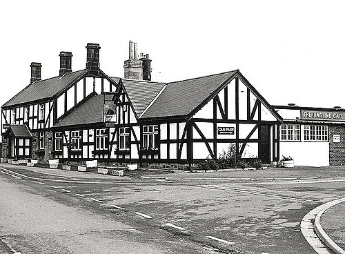
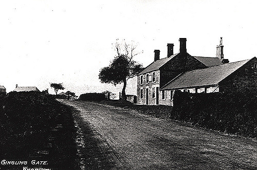
033847:Jingling Gate Westerhope Unknown c. 1910
Pinned by Simon Cotterill
Co-Curate Page
North Walbottle
- Overview Map Street View North Walbottle is a residential area by Westerhope in Newcastle, is located about half a mile north east of the village of Walbottle. It originally grew …

from Newcastle libraries (flickr)
023162:Westerhope School Westerhope Unknown 1921
Pinned by Simon Cotterill
from Newcastle libraries (flickr)
023158:Westerhope School Westerhope Unknown 1924
Pinned by Simon Cotterill
from Newcastle libraries (flickr)
23171a: Buxton Gardens, Westerhope, 1941
Pinned by Simon Cotterill
from Newcastle libraries (flickr)
023205:Westerhope Methodist Church Westerhope Unknown 1948
Pinned by Simon Cotterill
from Newcastle libraries (flickr)
023206:Westerhope Methodist Church Westerhope Unknown c.1920
Pinned by Simon Cotterill
from Newcastle libraries (flickr)
023200:Westerhope School Westerhope Unknown 1923
Pinned by Simon Cotterill
from Newcastle libraries (flickr)
036787:The Jingling Gate Westerhope City Engineers 1977
Pinned by Simon Cotterill
from Newcastle libraries (flickr)
068892:Orion cinema Stamfordham Road Westerhope Unknown 1963
Pinned by Simon Cotterill
from Newcastle libraries (flickr)
023192:North Avenue Westerhope Newcastle upon Tyne Unknown c.1907
Pinned by Simon Cotterill
from Newcastle libraries (flickr)
023172:Flooded Chatsworth Gardens Westerhope Unknown 1941
Pinned by Simon Cotterill
from Newcastle libraries (flickr)
062661:Lily Terrace Westerhope Dept of Environmental Health 1972
Pinned by Simon Cotterill
from Newcastle libraries (flickr)
046924:Windsor Crescent Westerhope covered in snow Unknown 1947.
Pinned by Simon Cotterill
from Newcastle libraries (flickr)
023188:Wheatfield Road/Stamfordham Road Westerhope Unknown c.1920
Pinned by Simon Cotterill
from Newcastle libraries (flickr)
023169:West Avenue Westerhope Unknown c.1930
Pinned by Simon Cotterill
from Newcastle libraries (flickr)
042757:West Avenue Westerhope Unknown c.1982
Pinned by Simon Cotterill
from Newcastle libraries (flickr)
033847:Jingling Gate Westerhope Unknown c. 1910
Pinned by Simon Cotterill
Co-Curate Page
North Walbottle
- Overview Map Street View North Walbottle is a residential area by Westerhope in Newcastle, is located about half a mile north east of the village of Walbottle. It originally grew …


")


