Topics > Northumberland > West Thornton
West Thornton
THORNTON, WEST, a township, in the parish of Hartburn, union, and W. division of the ward, of Morpeth, N. division of Northumberland, 7¼ miles (W. by N.) from Morpeth; containing 58 inhabitants. This township is supposed to occupy the site of a Roman station; and it is recorded that, till towards the commencement of the eighteenth century, vestiges of an ancient town intersected by a military road were plainly discernible. Between the township and the river Hart is a farm of about 100 acres, which belonged to the Knights Templars, from whom the hamlet obtained the name of Temple-Thornton: this property, on the suppression of the order, was consigned, with their other estates in the county, to John de Kingston. The township comprises 1,047 acres, of which 147 are arable, 860 meadow and pasture, and 40 woodland and plantations. The village is situated on a high ridge, from which the grounds slope towards the river Hart, fronting the south; it had formerly a chapel. The tithes have been commuted for £46. 3., payable to the vicar of Hartburn.
Extract from: A Topographical Dictionary of England comprising the several counties, cities, boroughs, corporate and market towns, parishes, and townships..... 7th Edition, by Samuel Lewis, London, 1848.
The 1860 Northumberland Farm Index (Northumberland Archives) lists the following under the township of West Thornton: Temple Thornton, Thornton House, & Thorntonmoor. The area around Thornton House is the site of a deserted medieval village, which once had a had a manor house within a tower, and a chapel.[1]
See also: West Thornton township entry in Whellan's 1855 Directory of Northumberland.
West Thornton became a civil parish in 1866, following the Poor Law Amendment Act. West Thornton Civil Parish was abolished in 1955, and absorbed into Hartburn Civil Parish.

Co-Curate Page
Temple Thornton
- Overview Map Street View Temple Thornton is a hamlet close to Meldon Park in Northumberland, and within Hartburn Civil Parish. The placename derives from about the time of King John …

from https://keystothepast.info/se…
West Thornton deserted medieval village (Hartburn)
- ...Deserted medieval village at Thornton West. (Nothing visible on available aerial photographs (RAF 1947)).....
Once a considerable village with a chapel, but now reduced to one farm and two cottages.....West …
Added by
Simon Cotterill
Co-Curate Page
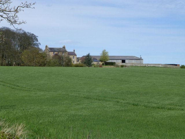
Thornton House, near Hartburn
- Overview Map Thornton House was built in the late 18th century. It is a Grade II listed building on the National Heritage List for England. Whellan's 1855 Directory of Northumberland …

Co-Curate Page
Temple Thornton
- Overview Map Street View Temple Thornton is a hamlet close to Meldon Park in Northumberland, and within Hartburn Civil Parish. The placename derives from about the time of King John …
from https://keystothepast.info/se…
West Thornton deserted medieval village (Hartburn)
- ...Deserted medieval village at Thornton West. (Nothing visible on available aerial photographs (RAF 1947)).....
Once a considerable village with a chapel, but now reduced to one farm and two cottages.....West …
Added by
Simon Cotterill


