Topics > Northumberland > West Ord
West Ord
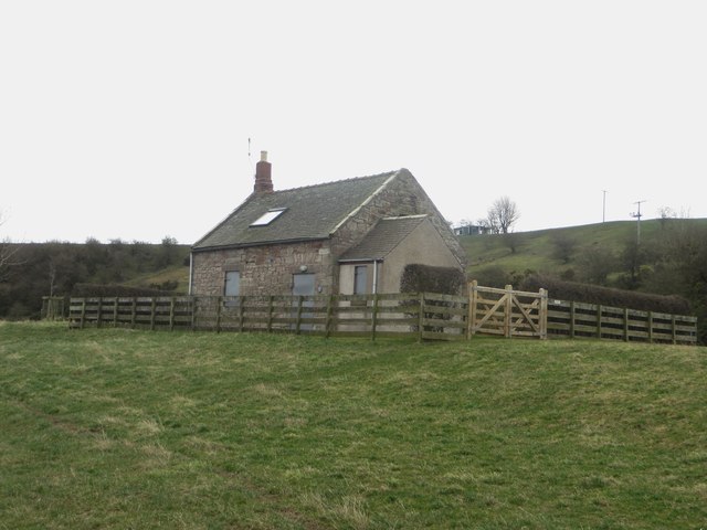
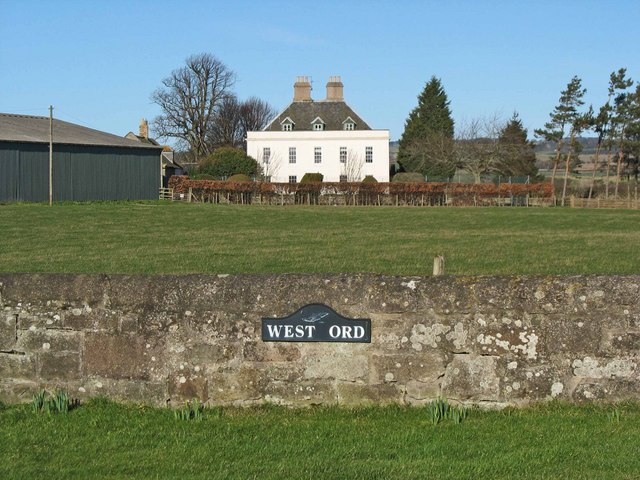
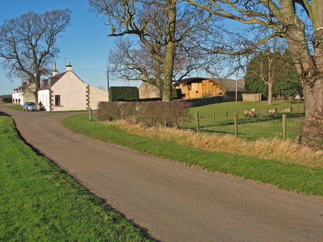
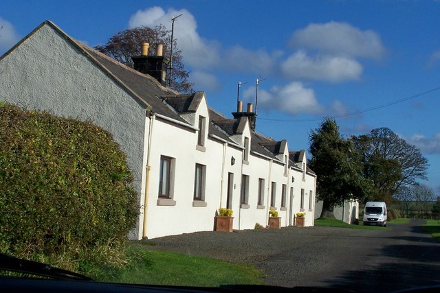
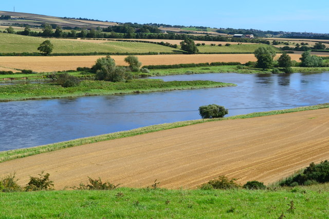
West Ord is a hamlet in Northumberland located on the south banks of the River Tweed, about 1½ miles west of the village of East Ord. It primarily consists of West Ord Farm, West Ord (house) which was built in 1710, and a small row of cottages (now holiday lets). Nearby, by the river is South Bells Shiel. Earthwork remains at West Ord suggest that there was a medieval settlement here.[1]

from https://keystothepast.info/se…
West Ord
- "This may be the site of a deserted medieval village. Although no records have been found there are earthworks that may be part of a former village...."
Added by
Simon Cotterill

Co-Curate Page
Tweedmouth Chapelry, 1855
- Extract from: History, Topography, and Directory of Northumberland...Whellan, William, & Co, 1855. TWEEDMOUTH PAROCHIAL CHAPELRY TWEEDMOUTH, a parochial chapelry, situated at the northern extremity of Islandshire, comprises the townships …

from https://keystothepast.info/se…
West Ord
- "This may be the site of a deserted medieval village. Although no records have been found there are earthworks that may be part of a former village...."
Added by
Simon Cotterill