Topics > Geography > Rivers > River Allen > River West Allen > Mohope Burn > Wellhope Burn
Wellhope Burn
Wellhope Burn is a tributary of Mohope Burn, which discharges into the River West Allen, Northumberland.

from Geograph (geograph)
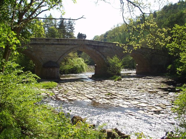
The confluence of Mohope Burn and Wellhope Burn (2)
Pinned by Simon Cotterill


from https://environment.data.gov.…
Wellhope Burn Catchment (Trib of West Allen)
Added by
Simon Cotterill

Co-Curate Page
Appletree Shield (ruins)
- The castlesque ruins of the former Appletree Shield farm, by Wellhope Burn, are located about 2 miles south-west of Ninebanks in West Allen. Whellan's 1855 directory of Northumberland lists Appletree …


from Geograph (geograph)
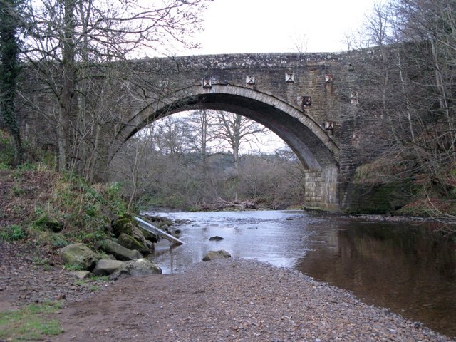
The confluence of Mohope Burn and Wellhope Burn (2)
Pinned by Simon Cotterill
from https://environment.data.gov.…
Wellhope Burn Catchment (Trib of West Allen)
Added by
Simon Cotterill
Co-Curate Page
Appletree Shield (ruins)
- The castlesque ruins of the former Appletree Shield farm, by Wellhope Burn, are located about 2 miles south-west of Ninebanks in West Allen. Whellan's 1855 directory of Northumberland lists Appletree …