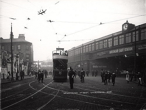
Topics > Tyne and Wear > Gateshead > Wardley
Wardley
Wardley, Gateshead, Tyne and Wear is a large residential area located to the South East part of the Metropolitan Borough of Gateshead, 4 miles out of Newcastle upon Tyne on the border of South Tyneside. The postal code for Wardley is NE10. The population of the Gateshead MBC ward of Wardley and Leam Lane at the 2011 Census was 8,327.
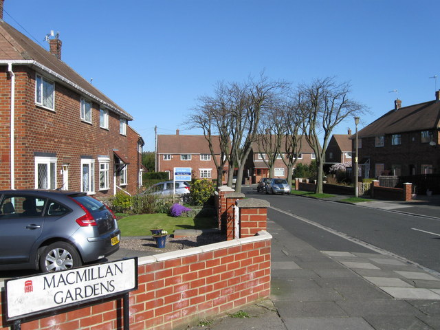
Wardley is made up of mainly private housing. It contains 2 petrol stations, a restaurant, a unisex hairdressers and a number of news agencies. It is split in 2, across the A184 Felling by-Pass, and Lingey Lane.
Wardley is served by buses 4, M2, M3, M3A, 12, 26A, X36, 57, 68, 69, 69A, 92, 558 and 994. The nearest Tyne and Wear Metro station is Pelaw, the nearest Rail station is Heworth.
Visit the page: Wardley, Gateshead for references and further details. You can contribute to this article on Wikipedia.


from Geograph (geograph)
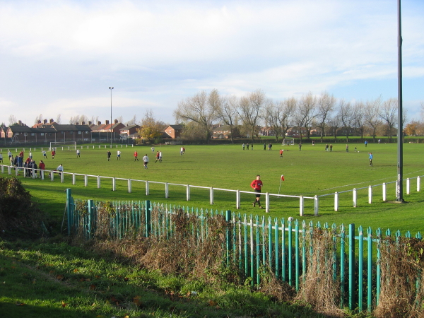
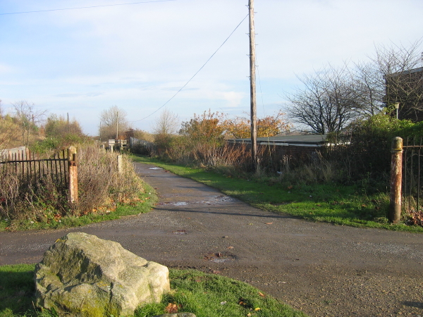
Great North Run 2010, nearing the summit after Heworth at Wardley
Pinned by Pat Thomson
Co-Curate Page
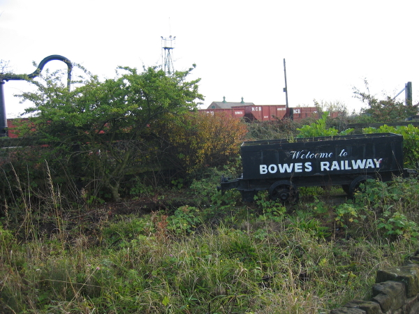
Bowes Railway
- Overview About Bowes Railway Map Street View Map showing the Scheduled Monument area, Bowes Railway visitor cente, Blackhams Hill Station, and site of Kibblesworth Colliery to the south-west. Bowes Railway …

from Geograph (geograph)
Great North Run 2010, nearing the summit after Heworth at Wardley
Pinned by Pat Thomson
Co-Curate Page
Bowes Railway
- Overview About Bowes Railway Map Street View Map showing the Scheduled Monument area, Bowes Railway visitor cente, Blackhams Hill Station, and site of Kibblesworth Colliery to the south-west. Bowes Railway …