Topics > Northumberland > Troughend > Troughend Township
Troughend Township
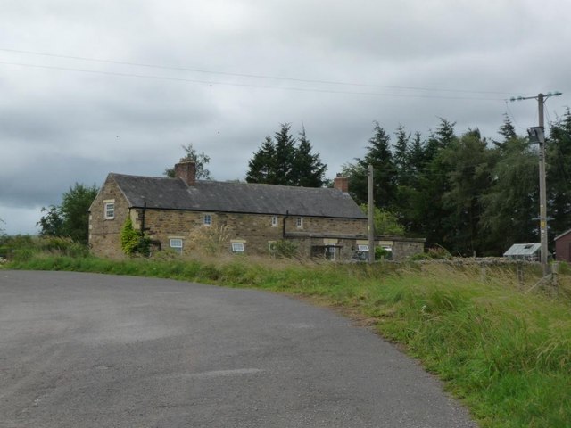
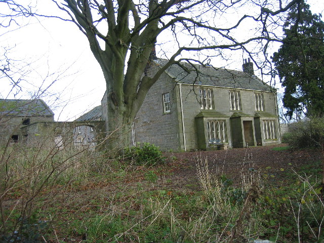
TROUGHEND-WARD, a township, in the parish of Elsdon, union of Bellingham, S. division of Coquetdale ward, N. division of Northumberland, 7¼ miles (N.N.E.) from Bellingham; containing 314 inhabitants. This ward is sixteen miles in length, and two and a half in average breadth; and comprises by measurement, 26,010 acres, of which 236 are arable, 96 woodland, and the remainder pasture, principally sheepwalks, on which the purest breed of Cheviot sheep are kept. It comprehends that part of the parish west of the river Rede. The old tower of Troughend, long the seat of the Buttycombe family, and which is mentioned in the records of a very early period, stood a little to the west of the modern mansion, and its foundations, of strong masonry, though overgrown with grass, are still traceable. The present house was built in the last century by EIrington Reed, Esq., who also greatly improved the place by planting, and whose ancestors were settled in the township at a remote date. The common, which contained 2500 acres, was inclosed, agreeably with an act of parliament, in 1769.
Extract from: A Topographical Dictionary of England comprising the several counties, cities, boroughs, corporate and market towns, parishes, and townships..... 7th Edition, by Samuel Lewis, London, 1848.
The 1860 Northumberland Farms Index (Northumberland Archives), lists the following under the township of Troughend: Ashtrees, Babswood, Birdhope, Black Blakehope, Blakehope, Blakehopeburnhaugh, Bog, Breadless Row, Brownrigg, Chattlehope, Cleughbrae, Dargues, Dargues Hope, Dunns, Dunn's Houses, Eve Stones (Peels), Garret Shield, Hillhead, Kellyburn, Meadowhaugh, Nether Houses, Old Town, Rattenraw, Raw, Rooken, Rookenpithouse, Rookenpithouse East, Smartside, Tofts, Troughend Hall, Whitelee, Wood Hill, Woodhead, Wooland Law.

Co-Curate Page
Blakehopeburnhaugh
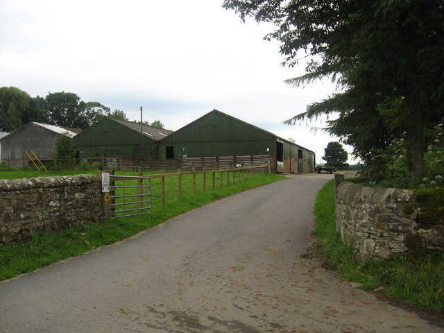
- Overview Map Street View Blakehopeburnhaugh is a farm in Redesdale Forest, located about ¼mile south-west of the A68 and 8 miles north-west of Otterburn. The farm is situated by Blakehope …

Co-Curate Page
Ashtrees (Byrness)
- Ashtrees is a farm located to the south of Cleughbrae Burn, about 1½miles south of the village of Rochester in Northumberland. Whellan's 1885 directory of Northumberland lists Ash Trees under …
Co-Curate Page
Whitelee (Byrness)
- Overview Map Street View Whitelee is a farm / hamlet in Northumberland, located about 1½ miles south-east of Carter Bar on the England-Scotland border, and 3½ miles north-west of Byrness …

Co-Curate Page
Chattlehope
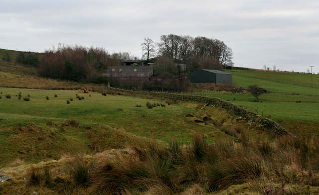
- Overview Map Chattlehope Farm is located to the south of Catcleugh Reservoir, about 40 miles north-west of Newcastle. The house here was rebuilt in 1901 reusing some of the features …
Co-Curate Page
Brownrigg (Rochester and Byrness)
- Overview Map Street View Brownrigg is located by the A68, about 19 miles north of Hexham and 3 miles south-east of the village of Rochester. Brownrigg is listed in the …

Co-Curate Page
Rattenraw
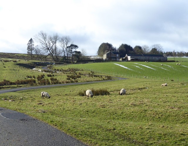
- Overview Map Rattenraw is a farm, located about 2½ miles north-west of Otterburn in Northumberland. It is situated by Rattenraw Burn, shortly before it's confluence with the River Rede. Rattenraw …
Co-Curate Page
Old Town, Otterburn
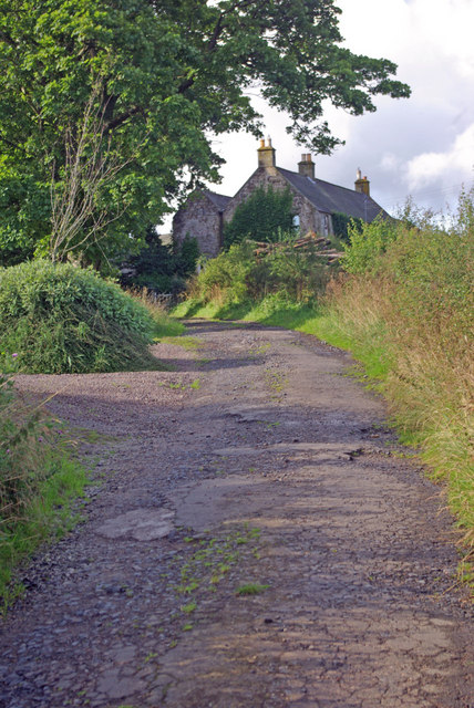
- Overview Map Street View Old Town is a hamlet in Northumberland, located about 1 mile south of Otterburn. It includes a farm, a few cottages and a bungalow. Old Town …

Co-Curate Page
Blakehopeburnhaugh
- Overview Map Street View Blakehopeburnhaugh is a farm in Redesdale Forest, located about ¼mile south-west of the A68 and 8 miles north-west of Otterburn. The farm is situated by Blakehope …
Co-Curate Page
Ashtrees (Byrness)
- Ashtrees is a farm located to the south of Cleughbrae Burn, about 1½miles south of the village of Rochester in Northumberland. Whellan's 1885 directory of Northumberland lists Ash Trees under …
Co-Curate Page
Whitelee (Byrness)
- Overview Map Street View Whitelee is a farm / hamlet in Northumberland, located about 1½ miles south-east of Carter Bar on the England-Scotland border, and 3½ miles north-west of Byrness …
Co-Curate Page
Chattlehope
- Overview Map Chattlehope Farm is located to the south of Catcleugh Reservoir, about 40 miles north-west of Newcastle. The house here was rebuilt in 1901 reusing some of the features …
Co-Curate Page
Brownrigg (Rochester and Byrness)
- Overview Map Street View Brownrigg is located by the A68, about 19 miles north of Hexham and 3 miles south-east of the village of Rochester. Brownrigg is listed in the …
Co-Curate Page
Rattenraw
- Overview Map Rattenraw is a farm, located about 2½ miles north-west of Otterburn in Northumberland. It is situated by Rattenraw Burn, shortly before it's confluence with the River Rede. Rattenraw …