Topics > Northumberland > Troughend
Troughend
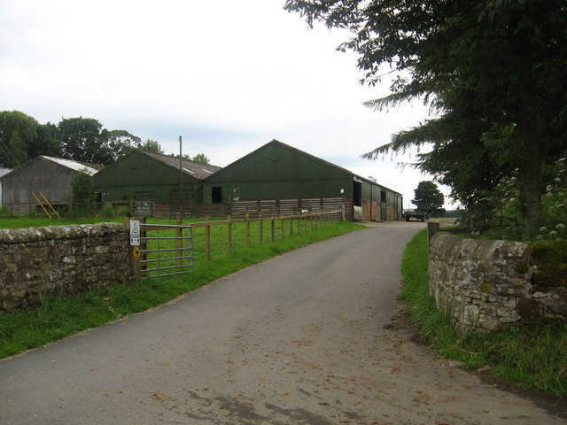
Troughend is a farm in Northumberland, located off the A68 road, about 4 miles south of the village of Rochester. It is about 1 mile south-west of Otterburn. A tower was recorded at 'Trowhen' in 1415,[1] at which time it belonged to the De Butycombe family, before being sold to the Reed family. The tower was replaced with a hall house in c.1716 by Elrington Reed. The Hall fell into disrepair and was partially demolished in the 1950s. Historically, Troughend was a township, including several surrounding farms, in the ancient parish of Elsdon. Since 1958, Troughend Farm has been part of Otterburn Civil Parish.

from https://keystothepast.info/se…
Troughen tower (Rochester and Byrness)
- "A medieval document refers to a turris, or tower, at `Trowhen' in 1415. It used to belong to the De Butycombe family and at the beginning of the 19th century …
Added by
Simon Cotterill


from https://keystothepast.info/se…
Troughen tower (Rochester and Byrness)
- "A medieval document refers to a turris, or tower, at `Trowhen' in 1415. It used to belong to the De Butycombe family and at the beginning of the 19th century …
Added by
Simon Cotterill


